Visoko and the “pyramids”
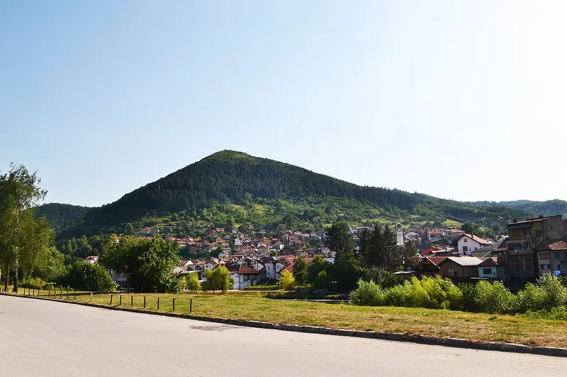
The hills around Visoko are marketed as the “Bosnian pyramids”. Archaeologists consider them natural formations. Visitors come for the Ravne tunnels and the view from the Visočica hill.
You write in English, we sort everything out with the host.
More places in this region:
Sarajevo area
Trails, water and sights nearby. Distances are as the crow flies from the spot.
The hills around Visoko are marketed as the “Bosnian pyramids”. Archaeologists consider them natural formations. Visitors come for the Ravne tunnels and the view from the Visočica hill.
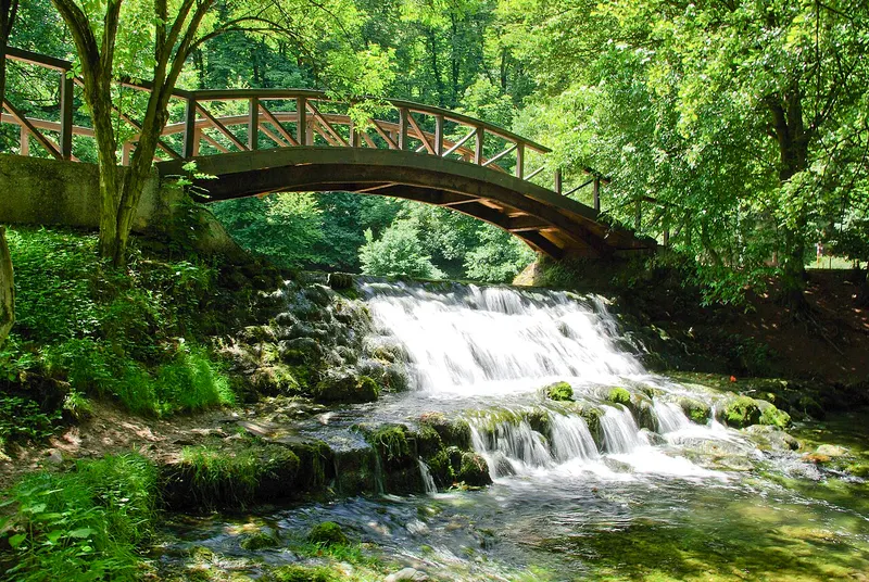
Nature park at the source of the Bosna, with the chestnut avenue Velika Aleja, horse-drawn carriages and the Roman bridge. Plus thermal springs and parks.
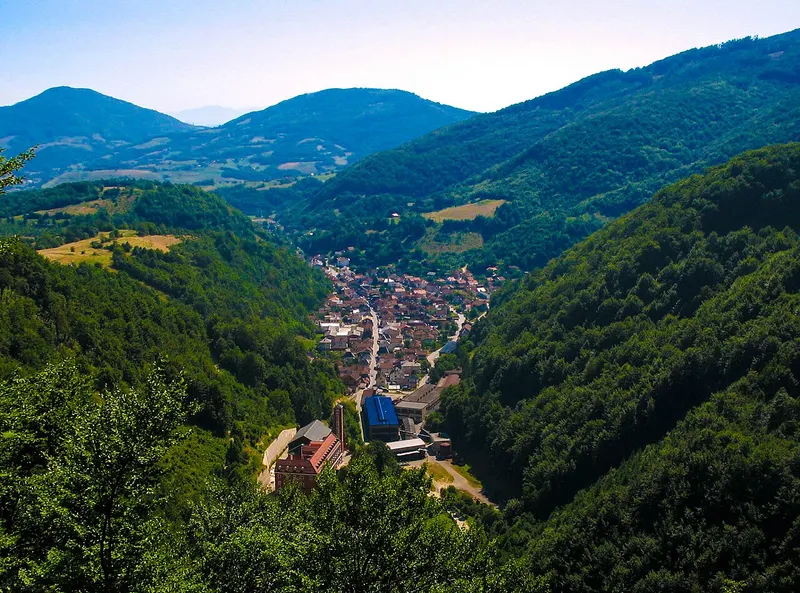
Small town with traditional blacksmith workshops. Culture, hiking and photography: a quiet trip away from the main roads.
We don’t know more about this place yet. The map shows where it is, the contact details are further up.
Sarajevo, Bosnia & Herzegovina
Approximate location from OpenStreetMap data. Please confirm with the operator.
Data from OpenStreetMap · © OpenStreetMap contributors (ODbL)