Location and landscape
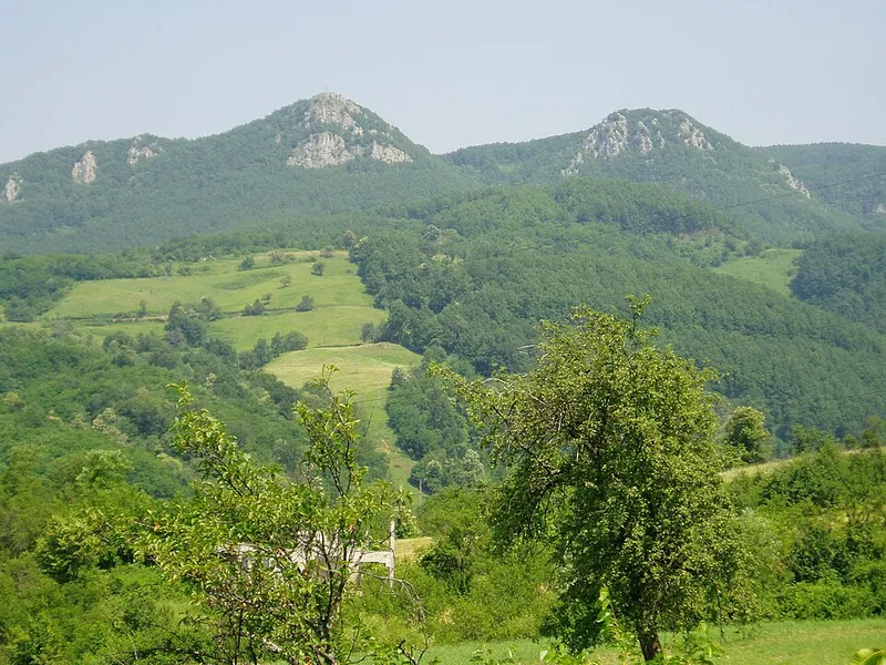
The park runs north to south and is 7 km long and 3 to 6 km wide. Mrakovica is 24 km from Prijedor and 56 km from Banja Luka; from the Banja Luka–Prijedor main road, turn off at Kozarac and follow a winding asphalt road for 12 km to the central car park.
Kozara is an island mountain: its peaks rose out of the Pannonian Sea in the Eocene, then it became a peninsula and finally part of the mainland. None of its summits reaches 1000 metres; notable heights are Gola planina at 874 m and Mrakovica at 806 m. Between them lie ridges, crests and deeply cut stream valleys, and the limestone areas such as Kozarački kamen and Zečiji kamen show karst features with sinkholes.
Forest, water and wildlife
90 per cent of the park is forested, mostly with beech and fir; on the northern side of Kozara the fir comes down as low as 200 m, very low for these latitudes. In autumn the reds, yellows and browns of the beeches mix with the green of the conifers. 19 plant species in the park are rare and endangered.
Almost all the larger streams of Kozara rise within the park, and the spring water is drinkable. Some stretches narrow into gorges, for example at the waterfall at Zečiji kamen and in the Gumline narrows. Streams on the northern side drain to the Sava and Una, those on the southwest to the Sana. Forest wildlife includes roe deer, wild boar, wolf, fox, badger, pine marten and wildcat, as well as owls and the great spotted woodpecker.
History: the national park and the war year 1942
Steps to designate Kozara as a national park began as early as 1947. On 6 June 1957 its forests were declared forests of historical significance, and on 6 April 1967 the national park followed, to protect the war monuments and the natural landscape and to provide for recreation and tourism.
In summer 1942 forces of the Independent State of Croatia (NDH) and the German army encircled Kozara, where about 3,500 partisans and some 80,000 civilian refugees were sheltering. After two breakout attempts in early July, organised resistance collapsed; the offensive officially ended on 18 July 1942. According to the park administration, 68,600 inhabitants of the Kozara area were deported during this period to concentration camps from Jasenovac to Auschwitz, among them 23,000 children under 14.
The Mrakovica memorial
The competition for a monument was won by the sculptor Dušan Džamonja. The foundation stone was laid on 2 August 1971, the monument and memorial wall opened on 10 September 1972 and the museum on 4 July 1973. Construction was funded in part by donations from 400,000 citizens of Yugoslavia.
The central part of the monument rises about 33 metres and stands for victory, while the concrete blocks arranged in a circle represent the enemy that encircled Kozara. According to the park administration, the memorial wall bears, in bronze, the names of 9,921 fighters who fell in this area during the Second World War. The museum displays photographs, objects and documents about the suffering of the population.
Hiking and excursions
The national park has 27 marked hiking trails with a total length of 68 km. Along the main routes there are signposts and information boards, benches and shelters, picnic areas, fire pits, viewpoints and drinking-water springs. The 39.5 km memorial trail from Mrakovica to Donja Gradina is marked only with mountain trail signs and is also suitable for cyclists. There are also cycling routes, via ferratas and a ski area in winter.
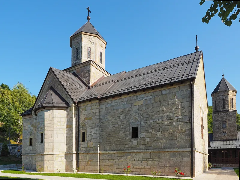
Moštanica Monastery, first mentioned in 1579, lies 14 km from Mrakovica. The village of Kozarac has a tower from 1736, and at Pilanište in the park stands a chapel from 1903 that locals call Mehmedova crkva after a love legend.