Sights in Bosnia and Herzegovina
In-depth pages on places worth a detour: background, location on the map and places to stay with our hosts nearby.
156 sights
All sights on the map
Banja Luka region
Go to the region page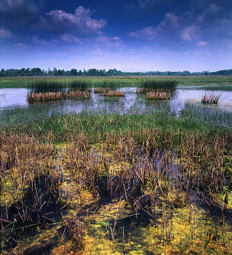
Nature
Bardača wetland
Bardača is a complex of fishponds, floodplain forest, meadows and swamps in the Sava floodplain near Srbac, close to the border with Croatia. Since 2007 the area has been on the list of wetlands of international importance; since 2010, however, most of the ponds have been drained and turned into farmland.
View
Sight
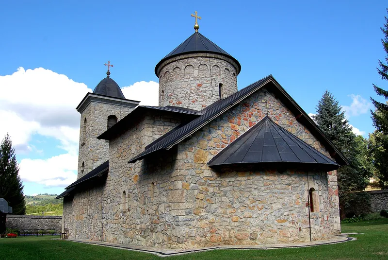
Gomionica Monastery
The Serbian Orthodox monastery of Gomionica lies in the village of Kmećani on the upper course of the river of the same name, at the foot of the Zmijanje plateau, 42 kilometres west of Banja Luka. Its church is dedicated to the Presentation of the Virgin, and the monastery is the spiritual centre of the Zmijanje area. Since 2006 the ensemble has been a national monument of Bosnia and Herzegovina.
View
Nature
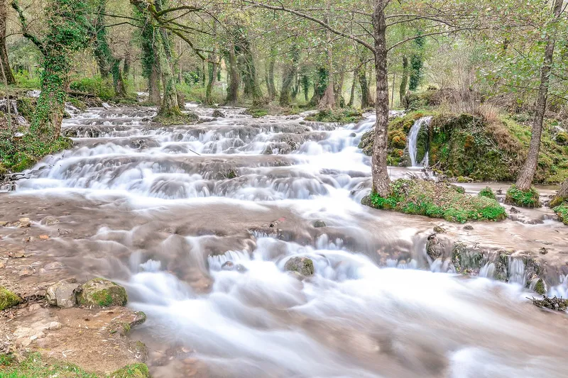
Janj Islands
Near Šipovo in western Bosnia and Herzegovina, the Janj river branches into a network of channels, tufa cascades and small waterfalls. Wooden bridges link the islands, and old mills stand on some of the channels. Janjske otoke is a popular day-trip destination in the municipality of Šipovo.
View
Sight
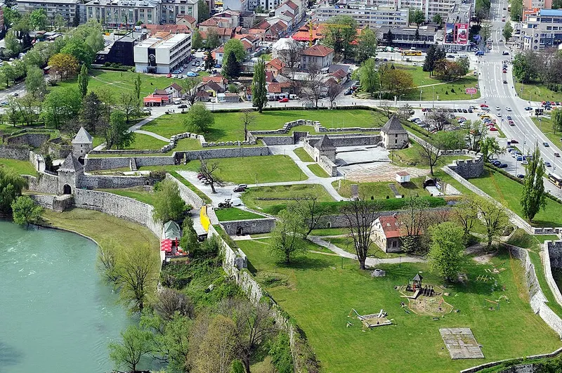
Kastel Fortress, Banja Luka
Kastel Fortress stands in the middle of Banja Luka on the left bank of the Vrbas. Its walls, bastions and towers largely took their present shape under Ottoman rule, but the site itself has been inhabited since prehistoric times. Today the grounds are used for leisure and events and are protected as a national monument.
1 place to stay View
Nature
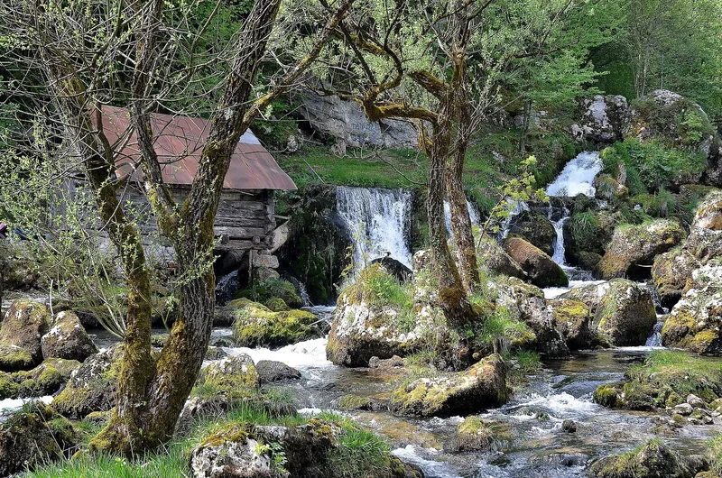
Krupa na Vrbasu
Krupa na Vrbasu lies about 25 km south of Banja Luka in the Vrbas valley, between two rocky gorges. The village is known for the waterfalls and mills on the Krupa river, the monastery of St Elijah, Greben fort and an old log church.
View
Swimming
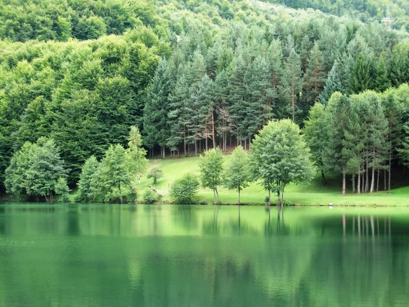
Lake Balkana
On the slopes of Lisina, a few kilometres from Mrkonjić Grad, lie two connected artificial lakes known as Lake Balkana. They are surrounded by oak and conifer forest, and in summer the place is good for swimming and fishing.
View
Fishing
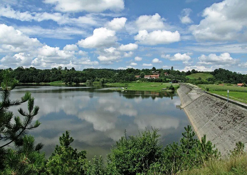
Lake Drenova
Lake Drenova is a reservoir in the municipality of Prnjavor, created in 1978 by damming the Vijaka. It is a designated fishing reserve, and anglers know it above all for big catfish and carp. Swimming and boating are not allowed, but a hiking trail leads from the lake to Stuplje Monastery.
2 places to stay View
Hiking
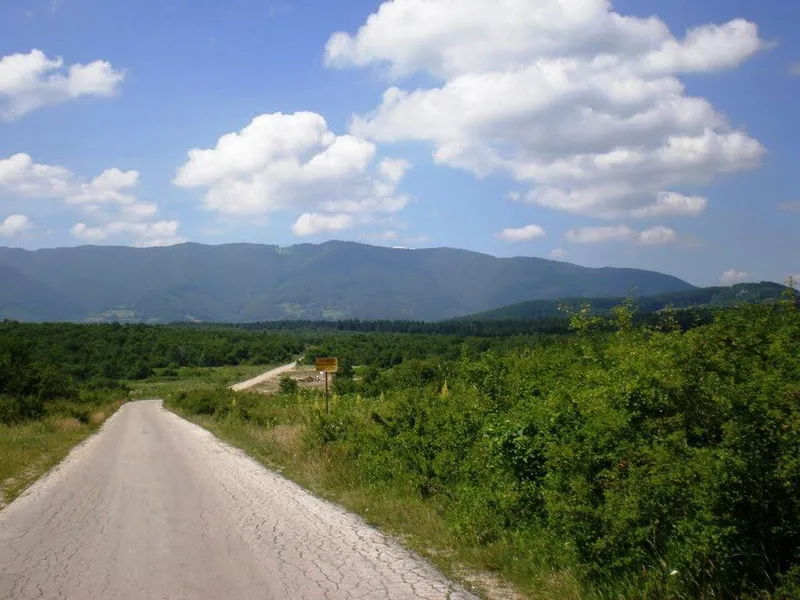
Lisina
Lisina is a small mountain range of volcanic origin between Mrkonjić Grad and Šipovo; its highest peak, Bandira, reaches 1467 metres. The mountain is rich in springs and fungi: the part of particular value for mycology is specially protected.
View
Nature
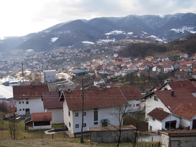
Mrkonjić Grad
Mrkonjić Grad lies at 591 metres in a valley of Bosanska Krajina between Banja Luka and Jajce, sheltered by wooded hills and Mount Lisina. The area is known for its long tradition of metalworking, and Balkana Lake, the Zelenkovac eco area and numerous stećci lie in its surroundings.
View
Sight
Stuplje Monastery
The Serbian Orthodox monastery of Stuplje is dedicated to the Archangel Michael and lies in the village of Gornji Vijačani on the Manastirica stream, where the municipalities of Prnjavor, Teslić and Čelinac meet. Around 1690 it was completely destroyed and forgotten. In 1994 villagers found its foundations, and it has been under reconstruction since then.
2 places to stay View
Sight
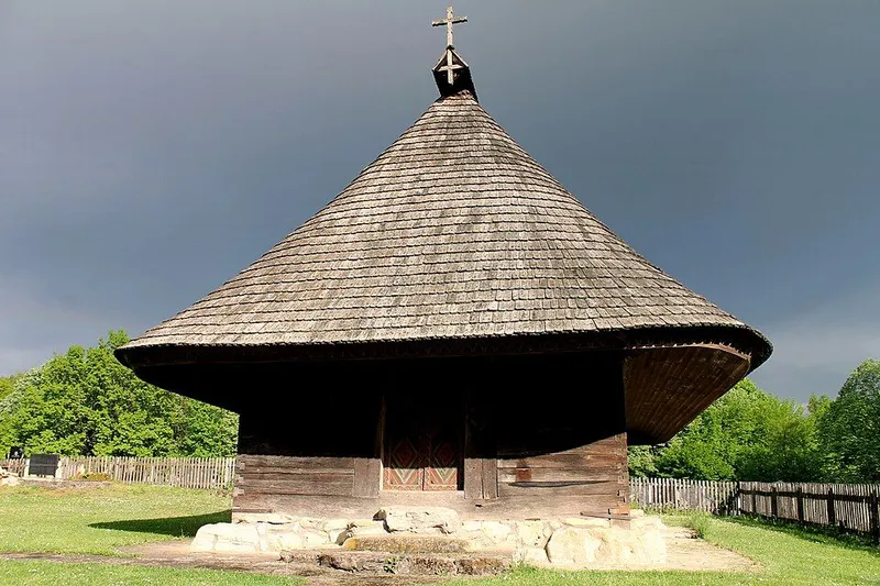
Wooden church in Gornji Palačkovci
The Church of the Apostles Peter and Paul in Palačkovci is a Serbian Orthodox log church built of oak. An inscription at the entrance gives the year 1843, but there is much to suggest that it is older. Since 2005 it has been a national monument of Bosnia and Herzegovina, together with its royal doors, icons and an antimension.
1 place to stay View
Sight
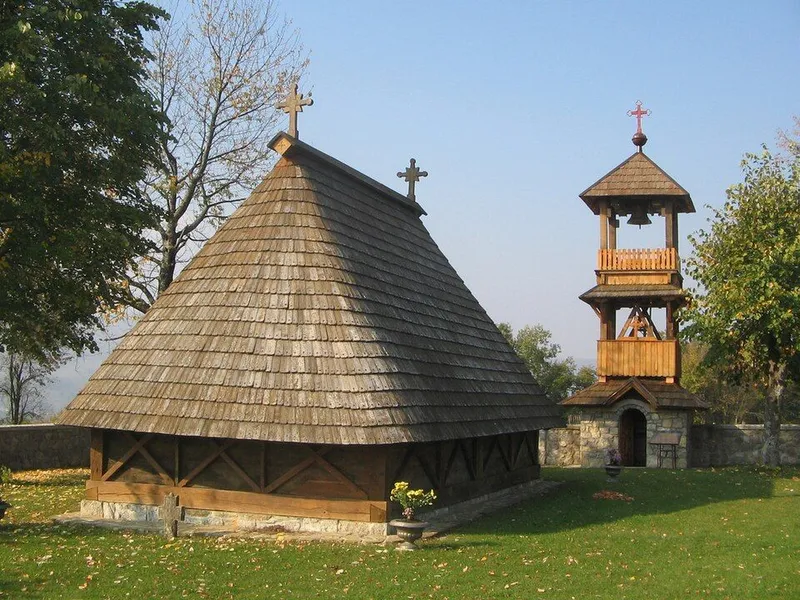
Wooden church in Javorani
In Javorani, in the municipality of Kneževo, stands a Serbian Orthodox wooden church dedicated to St Nicholas. Built of oak in the mid-18th century, it belongs to the older type of log church without an apse. Legends tell how the church wandered from hill to hill.
1 place to stay View
Bijeljina region
Sight
Bečani necropolis
The Bečani necropolis lies about 3.5 km northwest of Šekovići at 665 metres, on a small plateau below a rock that villagers call Pola stijene. What stands out here are the many upright pillar tombstones beside chests, slabs and gabled stones. Since 2016 the necropolis has been part of the UNESCO World Heritage property of the stećci.
View
Nature
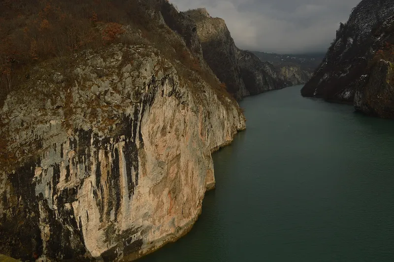
Drina National Park
Drina National Park was founded in 2017 and covers 6,315 hectares in the municipality of Srebrenica. It runs along the left bank of the Drina from the dam at Perućac to the boundaries of the Rogatica and Višegrad municipalities, facing Tara National Park in Serbia across the river.
View
Sight
Kušlat Fortress
South of Zvornik, on a sheer rock face above the confluence of the Jadar and the Drinjača, lie the remains of Kušlat Fortress, also known as Kučlat. Next to the fortress stands a mosque from the mid-15th century, built before the Ottomans conquered the Bosnian kingdom.
View
Fishing
Lake Zvornik
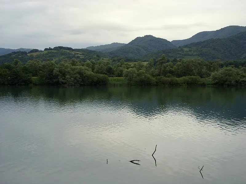
Lake Zvornik is a reservoir on the Drina above Zvornik and Mali Zvornik. The border between Bosnia and Herzegovina and Serbia runs through the lake along the old riverbed; stretching for about 25 kilometres, it is used by anglers, paddlers and swimmers.
View
Sight
Lovnica Monastery
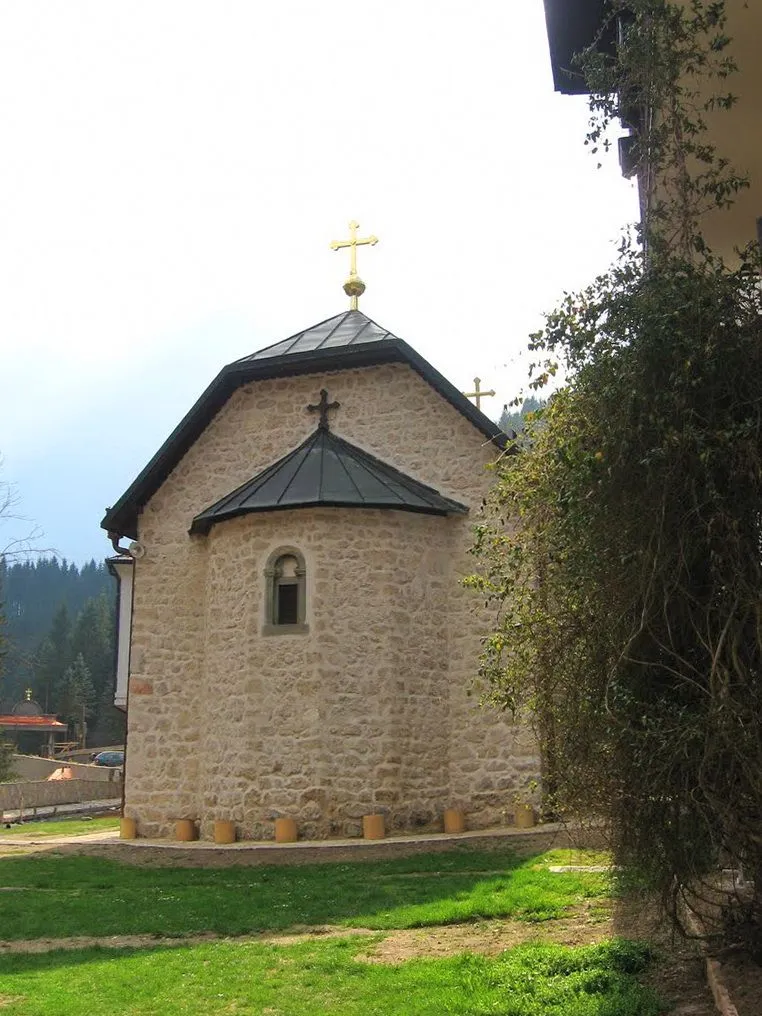
Lovnica Monastery, called Lomnica in many sources, lies in Donji Birač a few kilometres from Šekovići, close to the source of the stream of the same name. Its church of St George holds an iconostasis by the painter Longin and frescoes from the 16th and early 17th centuries, and the complex has been a National Monument of Bosnia and Herzegovina since 2005.
View
Sight
Papraća Monastery
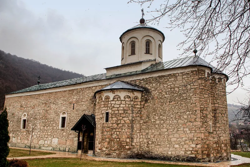
Papraća Monastery stands in the village of the same name, where the Papraća river rises, near Šekovići in the east of Republika Srpska. The Serbian Orthodox complex is dedicated to the Annunciation and has been a National Monument of Bosnia and Herzegovina since 2005.
View
Sight
Stanišići ethno village
Stanišići ethno village lies about 3 kilometres from Bijeljina on the road to the Pavlović Bridge, in the middle of the Semberija plain. It is not a village that grew over time but an open-air complex laid out in 2003, bringing together old log houses, mills and replicas of religious buildings.
View
Sight
Tavna Monastery
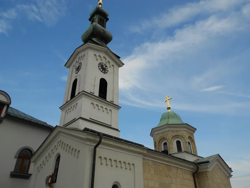
Tavna Monastery lies in the village of the same name at the foot of Majevica, south-west of Bijeljina. Its Church of the Holy Trinity is the spiritual centre of the Orthodox communities of the Zvornik-Tuzla eparchy and of all Semberija, and has been a National Monument of Bosnia and Herzegovina since 2009.
View
Bosnian-Podrinje Canton Goražde
Sight
Kučarin necropolis
Near Hrančići, west of Goražde, 325 medieval tombstones lie in the woods: the stećci of the Kučarin necropolis. Some bear reliefs of a deer, a sickle and a lily, and one has an inscription. Since 2016 Kučarin has been part of the UNESCO World Heritage site of the stećci.
1 place to stay View
Sight
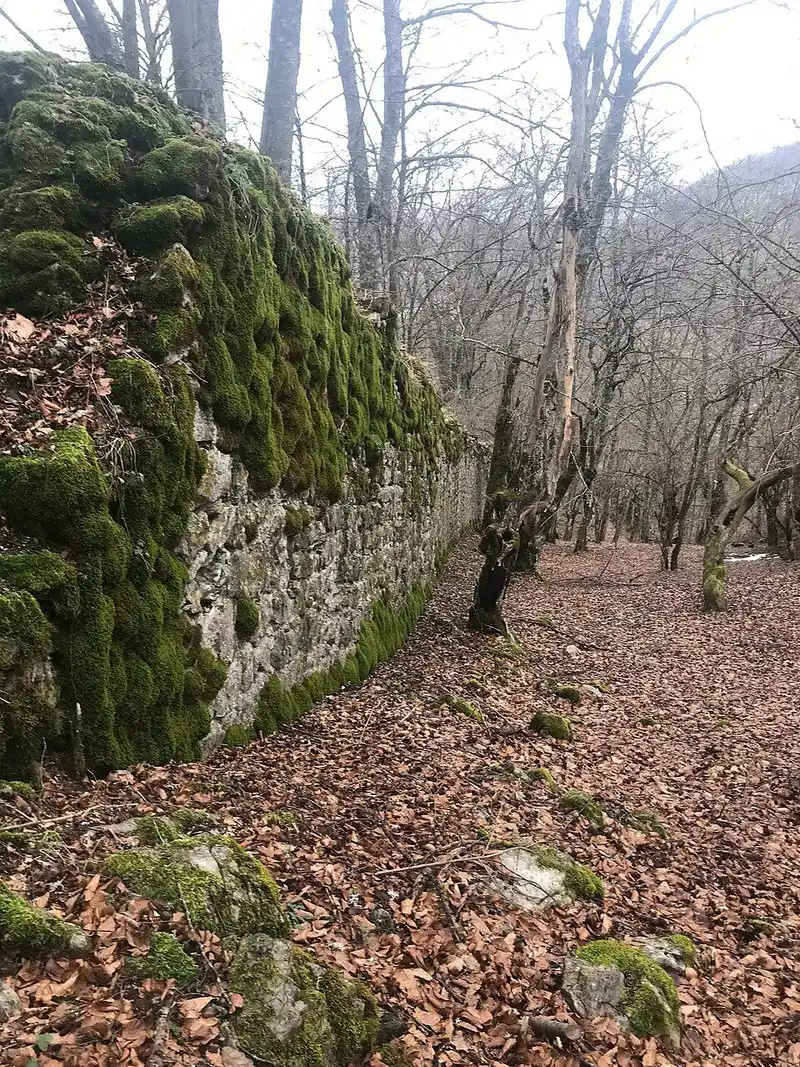
Pavlovac Fortress
High above the Prača canyon, not far from the village of Prača, the walls of Pavlovac lie hidden in the forest. The castle was a seat of the Bosnian noble family Radinović-Pavlović and protected the medieval market of Prača. Since 2025 it has been investigated by archaeologists for the first time.
1 place to stay View
Brčko District
Sight
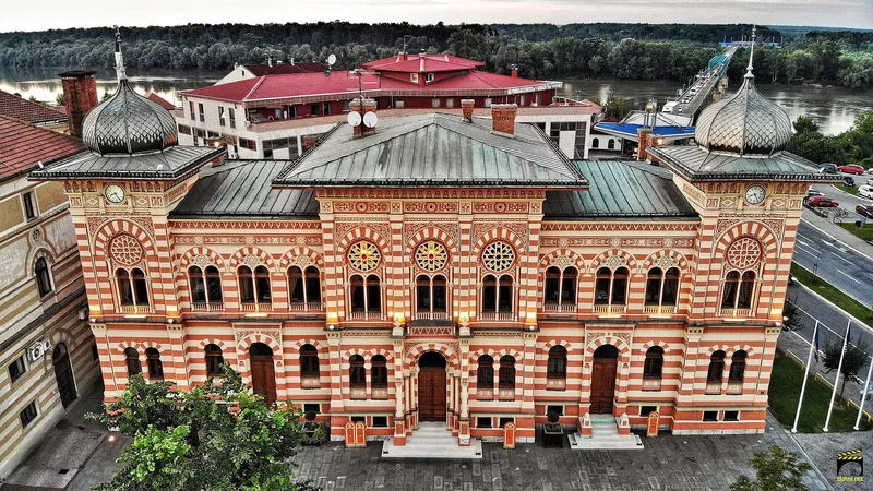
Brčko City Hall
The city hall (Vijećnica) in the centre of Brčko is a pseudo-Moorish building from the Austro-Hungarian period, designed by Ćiril Metod Iveković and completed in 1892. It has been a national monument of Bosnia and Herzegovina since 2004.
View
Sight
Gradaščević Tower (Bijela)
In Bijela, in the south of Brčko District, stands the stone tower house of the Gradaščević bey family with its walled courtyard. It was probably built in the late 18th or early 19th century, and since 2004 the complex has been a national monument of Bosnia and Herzegovina.
View
Canton 10
Swimming
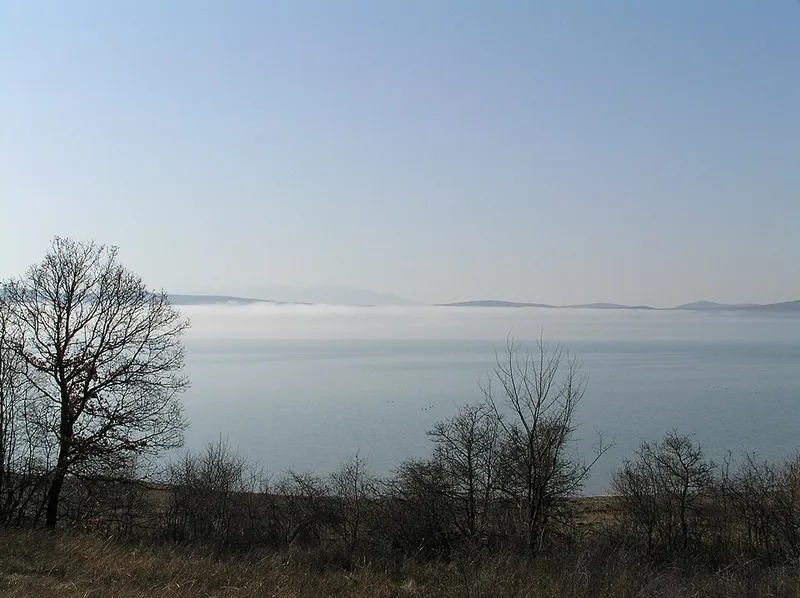
Buško Lake
Buško Lake, also called Buško blato, is a reservoir at the south-eastern end of the Livanjsko polje near the Croatian border. It lies at 716 metres, covers more than 55 square kilometres and belongs one third to the municipality of Livno and two thirds to Tomislavgrad.
7 places to stay View
Hiking
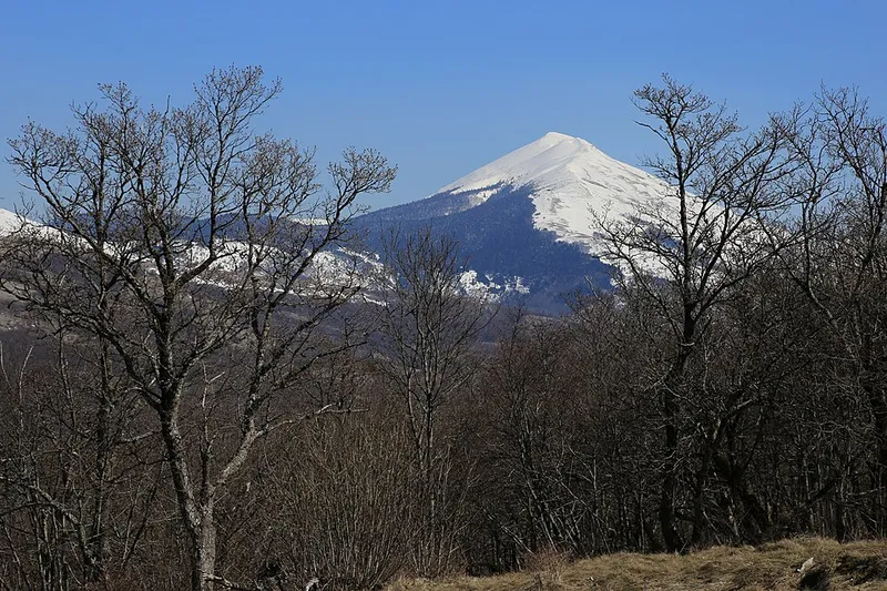
Cincar and the wild horses
Cincar rises between Livno, Kupres and Glamoč and reaches 2006 metres. Below its south-western slopes spreads the karst plateau of Krug, or Kruzi, where several hundred free-roaming horses graze.
6 places to stay View
Cycling
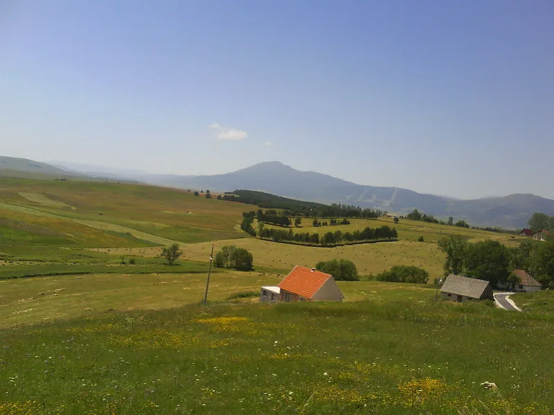
Kupres
Kupres is a small town on the plateau of the same name in south-western Bosnia, at around 1200 metres between the Čajuša and Stožer mountains. In winter people come for skiing, in summer for hiking and cycling on the wide Kupreško polje.
2 places to stay View
Sight
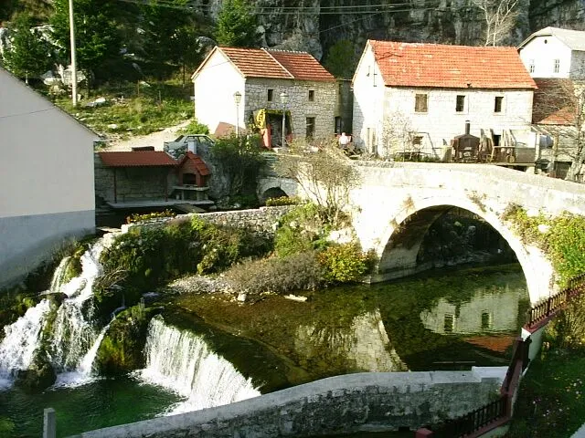
Livno
Livno lies at the source of the Bistrica on the edge of the Livanjsko polje, at the foot of the Kruzi plateau below Mount Cincar. The town is the centre of Canton 10 and of the historical region of Tropolje, and its old town climbs the slopes above the Duman karst spring.
6 places to stay View
Sight
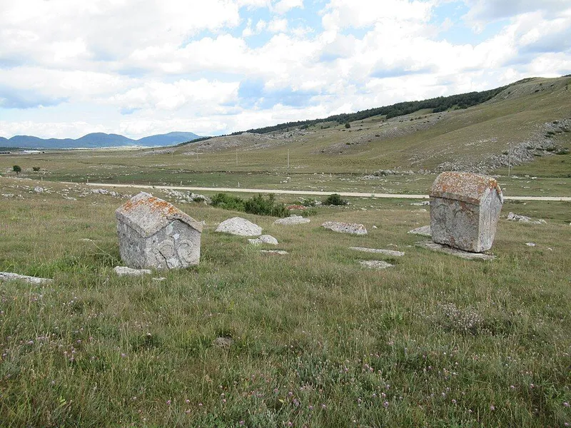
Ravanjska vrata necropolis
The Ravanjska vrata necropolis lies in a passage about 100 metres wide between the hills of Gradac and Gradina, linking Vukovsko polje with Ravanjsko polje, some 15 km south of Kupres near the village of Mušići. The lower group holds 43 stećci and the upper 25, many carved with scenes of hunting, round dances and jousts. Since 2016 the site has been part of the UNESCO World Heritage property of the stećci.
8 places to stay View
Hiking
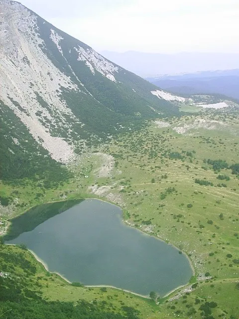
Šator Lake
Šatorsko jezero lies at 1488 metres on Mount Šator in western Bosnia, in the municipality of Bosansko Grahovo. The lake is of glacial origin, and locals fondly call it “Gorsko oko”, the mountain eye.
View
Sight
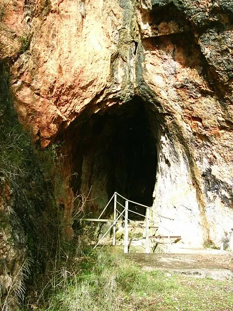
Tito's Cave, Drvar
On the edge of Drvar, above the Unac river, lies a small karst cave whose importance lies mainly in its history. In 1944 it housed the Supreme Headquarters of the Yugoslav Partisans under Josip Broz Tito, and it was here that the German airborne raid on the town caught him on 25 May 1944. Today the cave is part of the ‘25. maj’ Museum memorial complex.
View
Sight
Tomislavgrad
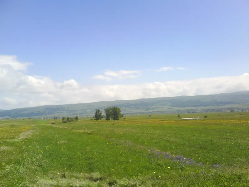
Tomislavgrad lies in south-western Bosnia and Herzegovina on the wide Duvanjsko polje, surrounded by the Vran, Ljubuša and Tušnica mountains. According to tradition, King Tomislav, whose name the town bears today, was crowned here in 925; in everyday speech, though, it is still often called Duvno.
9 places to stay View
Sight
Veselinje Monastery
In the Glamoč plain, between Velika Golija to the west and Slovinj to the east, the Serbian Orthodox monastery of Veselinje stands in the village of Vrba right beside the Glamoč–Livno road. Its church, dedicated to the Nativity of John the Baptist, was built between 1970 and 1975 by a businessman from Buenos Aires who was born in Vrba. The foundation has been a monastery since 1985.
View
Central Bosnia Canton
Go to the region page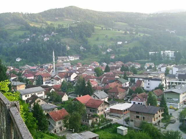
Sight
Fojnica
Fojnica lies in central Bosnia in the valley of the Fojnička rijeka, a tributary of the Bosna, beneath the Vranica, Zec, Zahor and Pogorelica mountains. The small town is known for its thermal springs and for the Franciscan monastery of the Holy Spirit and its museum.
4 places to stay View
Sight
Jajce
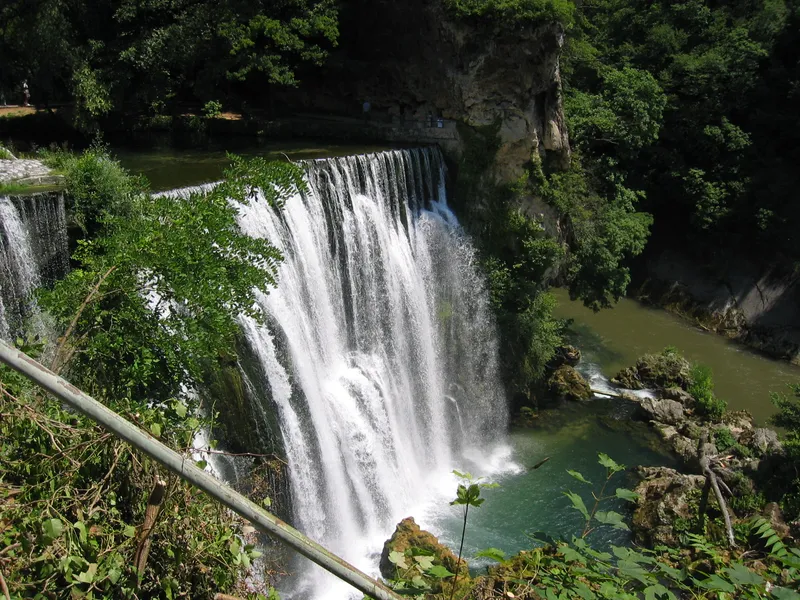
In Jajce the Pliva plunges over a tufa step into the Vrbas right in the middle of town. Above it rises the medieval fortress of the Bosnian kings, surrounded by walls, mosques, churches and houses from the Ottoman and Austro-Hungarian periods.
View
Sight
Komotin Fortress
The walls of Komotin stand on a hill above the Komotin stream near the village of Cvitovići, about 15 kilometres north-east of Jajce. The site was less a military stronghold than a fortified medieval manor. In 2011 it was declared a national monument of Bosnia and Herzegovina.
View
Sight
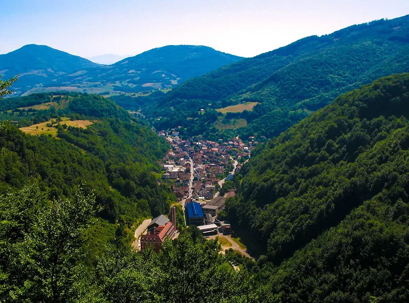
Kreševo
Kreševo lies in central Bosnia on the banks of the Kreševčica at 640 metres; forests cover about 70 per cent of the municipality. In the Middle Ages it was a mining and royal town, and today it is known for a blacksmithing tradition of more than a hundred years and for the Franciscan friary of St Catherine.
3 places to stay View
Sight
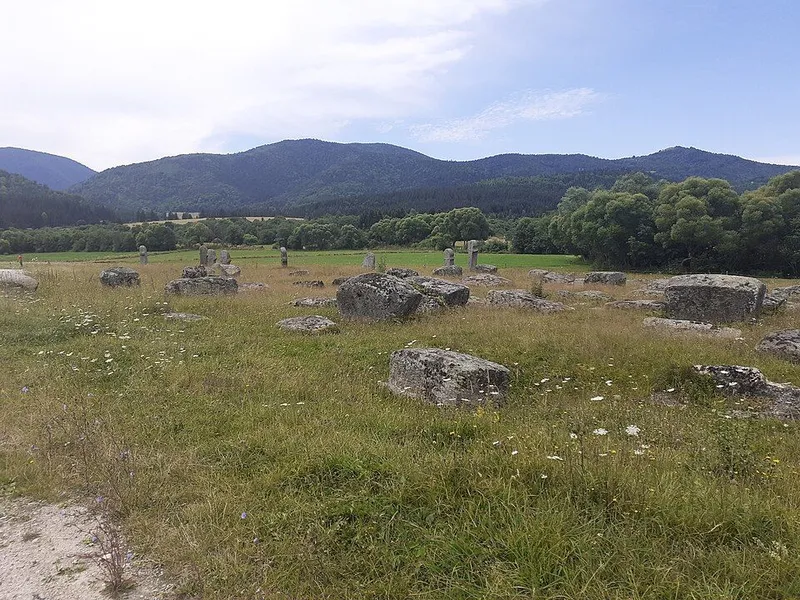
Maculje necropolis
The Maculje necropolis lies at 998 metres in the uplands of Novi Travnik, 21 kilometres from the town on the road to Gornji Vakuf. Among fields and pastures stand 101 stećci and 16 cross-shaped tombstones of a type otherwise known only from the area around Travnik and Zenica. Since 2016 Maculje has been part of the UNESCO World Heritage property of the stećci.
4 places to stay View
Nature
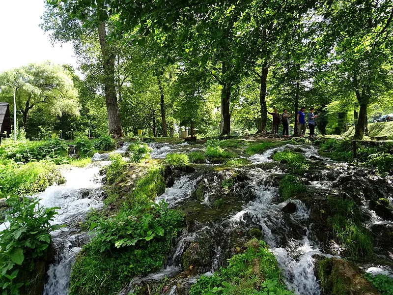
Pliva lakes and watermills
About 5 kilometres from Jajce, the Pliva river forms two lakes, the Great and the Small Pliva Lake. Between them, small wooden watermills known in Jajce as the Mlinčići stand on tufa barriers. Together, the lakes and mills are protected as a cultural landscape.
View
Hiking
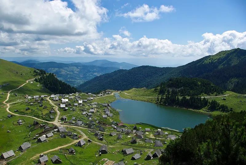
Prokoško Lake
Prokoško Lake lies at about 1,630 metres in the Vranica mountains, some 20 kilometres from Fojnica. Shepherds' huts and weekend houses surround the lake, it is known for an endemic subspecies of alpine newt, and it is protected as a natural monument.
5 places to stay View
Sight
Travnik
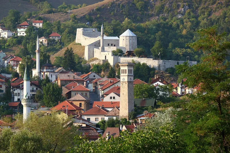
Travnik lies in the narrow valley of the Lašva, bounded by Vlašić to the north and the foothills of Vilenica to the south. For some 150 years the viziers of the Ottoman province of Bosnia resided here; mosques, clock towers and tombs survive from that era, with the fortress above the town.
1 place to stay View
Hiking
Vlašić
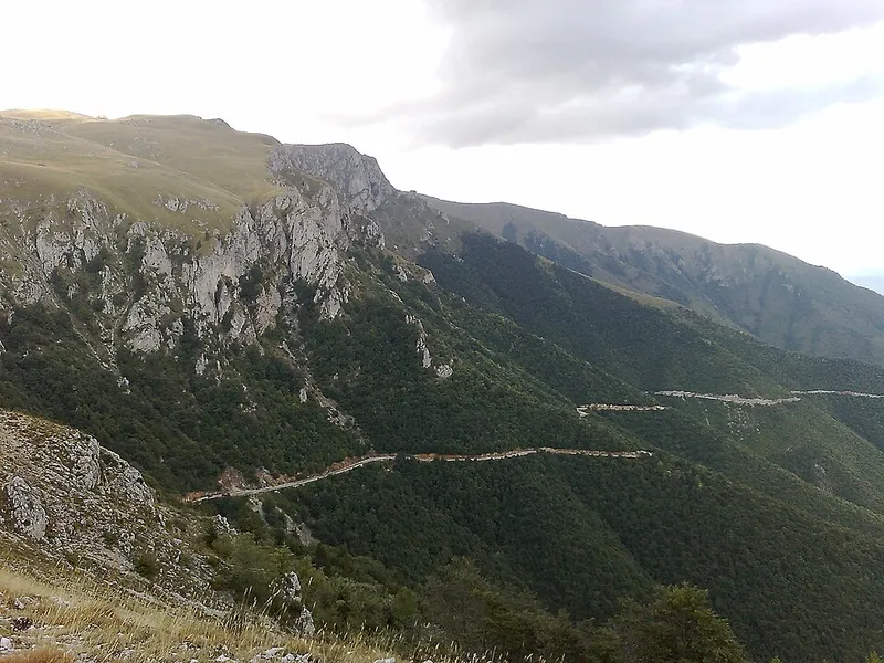
Vlašić is a mountain range in the geographical centre of Bosnia and Herzegovina, directly above the town of Travnik. It is known for its pastures, livestock farming and cheese, and in winter for the Babanovac ski area.
1 place to stay View
Doboj region
Sight
Doboj Fortress
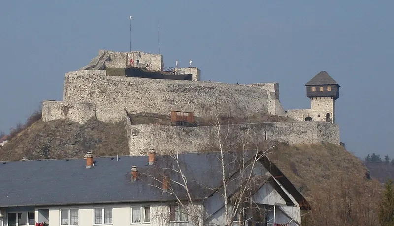
Doboj Fortress stands on a conical, rocky hill, given as 214 metres high, above the Bosna valley opposite the mouth of the Spreča; a little further south the Usora joins the Bosna. The town of Doboj grew up around the medieval castle, and since 2005 the fortress has been a national monument of Bosnia and Herzegovina.
View
Sight
Dobor Fortress
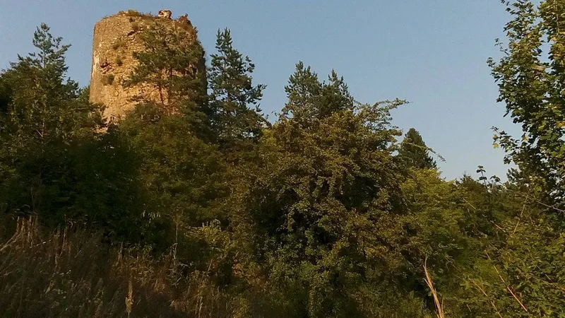
Dobor Fortress stands about 4 kilometres upstream of Modriča on a gentle rise above the left bank of the Bosna, where the slopes of Vučjak and Trebavac squeeze the valley into a narrow gorge. The fortress, a scene of the wars of King Sigismund of Hungary, has been a National Monument of Bosnia and Herzegovina since 2005, together with its archaeological finds.
View
Nature
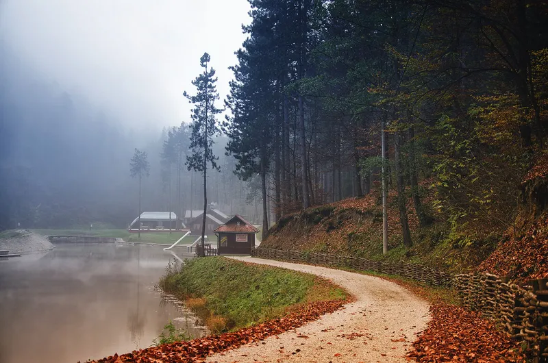
Goransko jezero
Goransko jezero is a small reservoir at the foot of Ozren, about 7 kilometres from Doboj near the village of Lipac. It lies at an altitude of about 190 metres, surrounded by dense pine forest, and is used for day trips and recreation.
View
Nature
Lake Pelagićevo
The lake at Pelagićevo lies north of the village of the same name in the Posavina region and grew out of a gravel pit dug in the 1960s. Because Yugoslavia's political leadership often came here, it is popularly known as the ‘Diplomatic Lake’. Above all, it is known as a water for carp anglers and a venue for international competitions.
View
Hiking
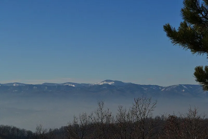
Očauš
Očauš is a mid-height range near Teslić, most of which belongs to that municipality, with part of it in the municipality of Kotor Varoš. Its highest summit, Mihailovac, reaches 1,402 metres. The mountain is recognisable from afar by its bare eastern flank, Očauško Lice.
1 place to stay View
Sight
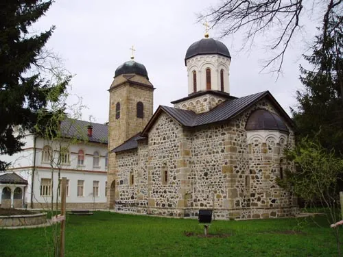
Ozren Monastery
Ozren Monastery is a Serbian Orthodox monastery of St Nicholas in the forest south of Petrovo, in the north of Republika Srpska. It is the spiritual centre of the Ozren mountains, after which it is named, and belongs to the Eparchy of Zvornik and Tuzla.
View
Sight
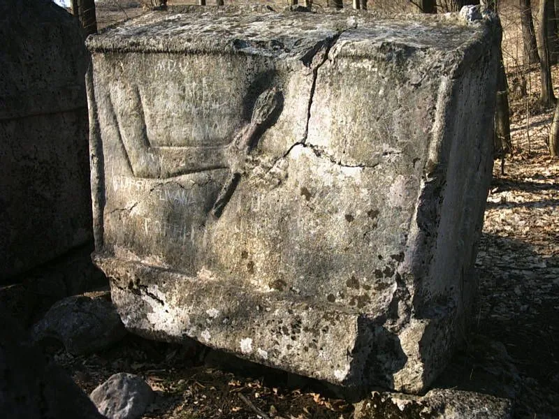
Stećci of Vojvoda Momčilo
On a small rise near Vrućica, less than 5 kilometres from Teslić, stand three medieval tombstones known as stećci. Local people call them the stećci of Vojvoda Momčilo, even though no such ruler can be traced in the historical record.
1 place to stay View
Nature
Tišina wetland
Tišina is a complex of ponds, marshes and wet meadows on the Sava between Šamac and Domaljevac. It has been a protected habitat since 2019, and some 130 bird species, 21 fish species and 175 plant species have been recorded here. You can explore it along an anglers' path, across an embankment with a birdwatching tower and on the shores of the shallow Odmut pond.
View
Herzegovina-Neretva Canton
Go to the region page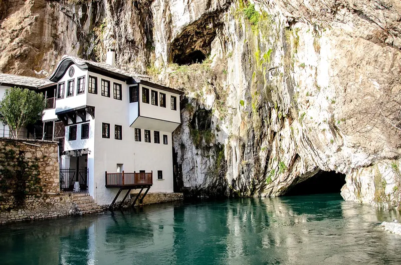
Sight
Blagaj Tekke at the Buna spring
At the foot of a high cliff near Blagaj, the Buna river emerges from a cave. Right beside it stands the tekke, an Ottoman-era dervish lodge that forms a single whole with the rock, the spring and the mills.
1 place to stay View
Swimming
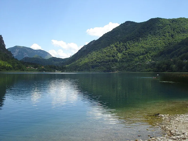
Boračko Lake
Boračko Lake lies at the north-eastern foot of Prenj in the municipality of Konjic. Set below the wooded slopes of Crna gora, the lake is a popular outing for people from Konjic, Sarajevo and Mostar and is used for swimming.
2 places to stay View
Food & drink
Čitluk and the Brotnjo wine region
Around Čitluk stretches the Brotnjo karst plateau, where vines have grown for centuries. Typical are the local varieties Žilavka and Blatina, and almost every family in the municipality has its own vineyard. Add to that traces of prehistory, antiquity and the Middle Ages, from hillforts to hundreds of medieval tombstones.
6 places to stay View
Nature
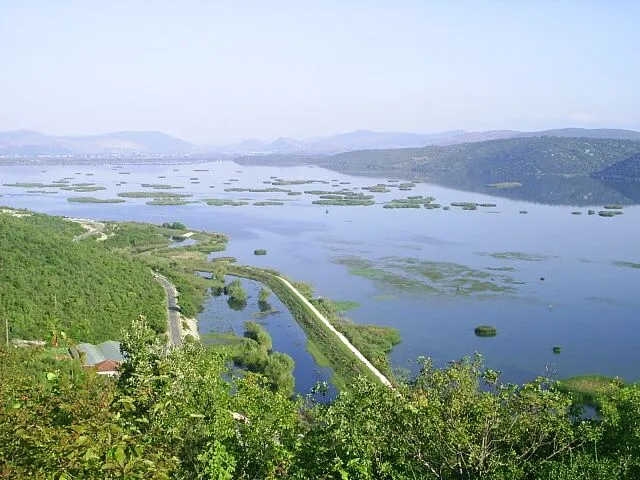
Hutovo Blato Nature Park
Hutovo Blato is a wetland in southern Herzegovina, on the left bank of the Neretva within the municipalities of Čapljina and Stolac. Karst waters feed its lakes, reed beds and the Krupa river, which flows in either direction depending on the water level. The area has been a nature park since 1995 and is known above all for its birds.
View
Sight
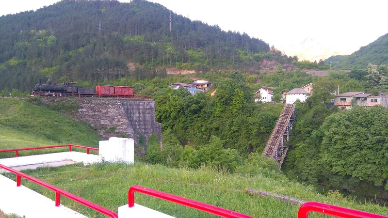
Jablanica
Jablanica lies in northern Herzegovina on the Neretva, framed by the Čvrsnica and Prenj mountains. The small town is known above all for its destroyed railway bridge, a reminder of the 1943 Battle of the Neretva, and for the museum beside it. Upstream of the town the Neretva has been dammed to form Jablanica Lake.
3 places to stay View
Swimming
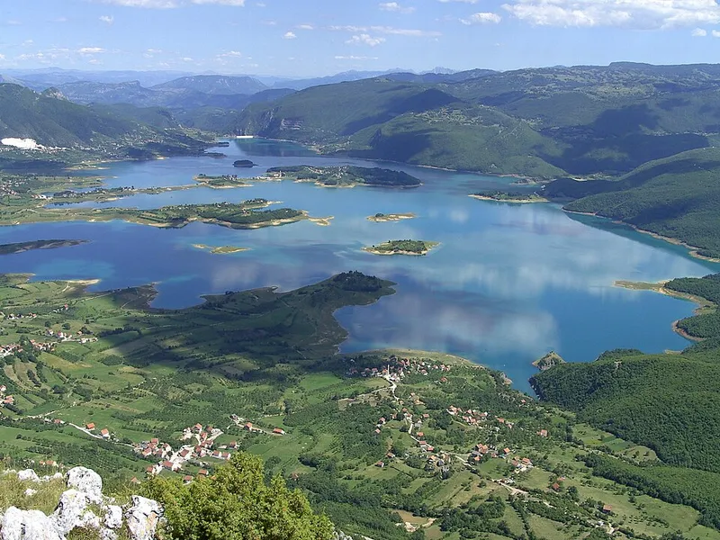
Lake Rama
Ramsko jezero, or Lake Rama, is a reservoir on the Rama river in northern Herzegovina, in the municipality of Prozor-Rama. It was created in 1968, when the river was dammed for the Rama hydroelectric plant, and now fills the upper Rama valley between steep mountains. On the Šćit peninsula stands a Franciscan monastery whose church and cultural landscape are protected as a national monument.
2 places to stay View
Hiking
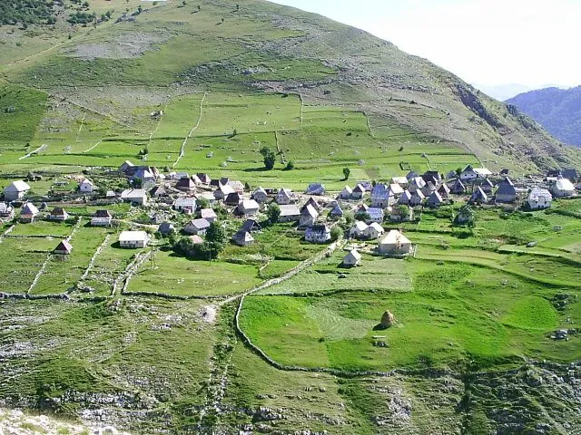
Lukomir
Lukomir is a herders' village on the southern edge of Bjelašnica, right above the Rakitnica gorge. Since 2009 its cultural landscape has been protected as a National Monument of Bosnia and Herzegovina. The village has small stone cottages with tall roofs, a mosque, the old school and medieval stećci.
1 place to stay View
Sight
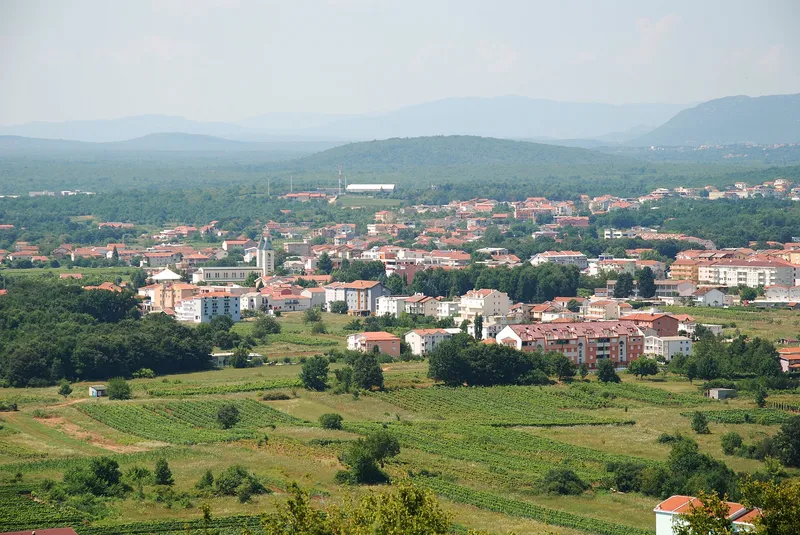
Medjugorje
Medjugorje is a village in Herzegovina that has been known as a Catholic pilgrimage site since 1981. That year six local children reported apparitions of the Virgin Mary; today an estimated one million people visit each year.
6 places to stay View
Sight
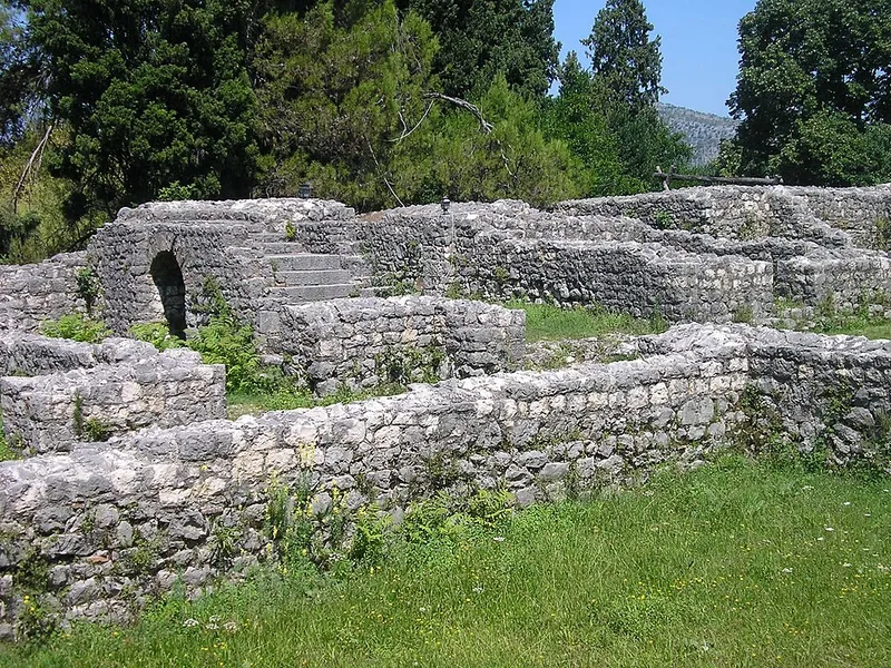
Mogorjelo Roman villa
Five kilometres south of Čapljina, on a hill between the Trebižat and Neretva rivers, stand the walls of Mogorjelo, a Roman villa from the early 4th century. With its corner towers, the rectangular complex resembles a fort. It is a national monument of Bosnia and Herzegovina.
5 places to stay View
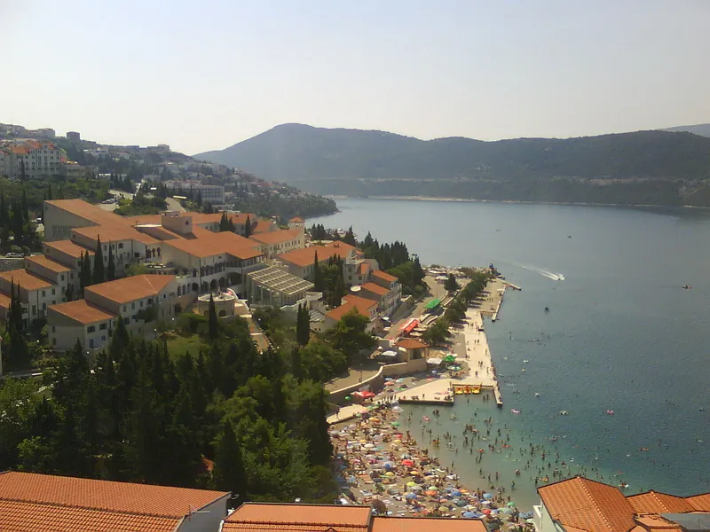
Swimming
Neum
Neum is the only town on Bosnia and Herzegovina's Adriatic coast, which is about 20 kilometres long. The town lies in a bay behind the Klek peninsula, with Pelješac beyond it, and has a barren hinterland with a fortress, medieval tombstones and olive groves.
View
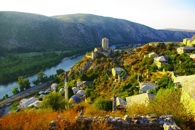
Sight
Počitelj
Počitelj sits on a steep rocky slope above the left bank of the Neretva, enclosed by fortress walls. A medieval castle and a small Ottoman town survive here in a compact space, with a mosque, madrasa, hammam and clock tower.
5 places to stay View
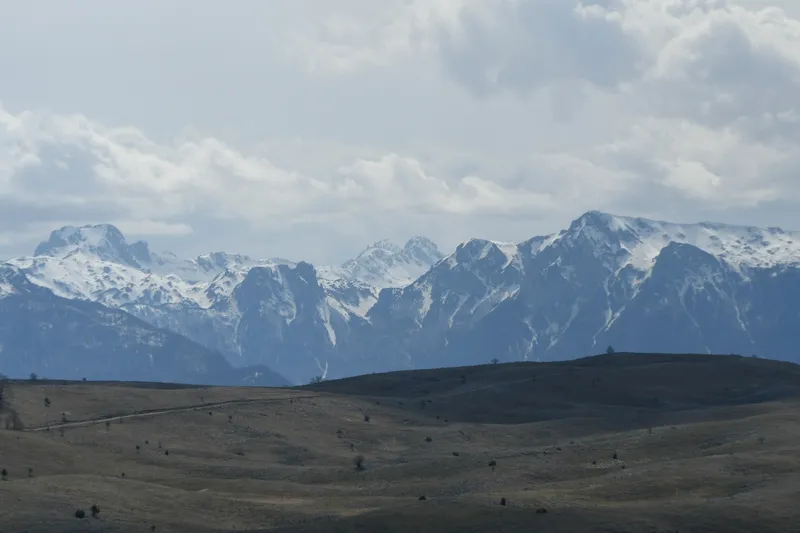
Hiking
Prenj mountains
Prenj is a massif made mostly of limestone and dolomite in northern Herzegovina. It lies in a great bend of the Neretva between Glavatičevo near Konjic and Bijelo Polje near Mostar, with Konjic, Jablanica and Mostar at its foot. Because of its sharp, jagged ridges it is often called the “Herzegovinian Himalayas”.
2 places to stay View
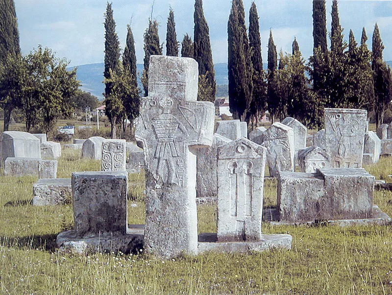
Sight
Radimlja necropolis
The Radimlja necropolis lies in Vidovo polje, 3 km west of Stolac on the road to Čapljina. It has 133 stećci, the medieval tombstones of the region, many of them carved with reliefs, and has been part of UNESCO World Heritage since 2016.
View
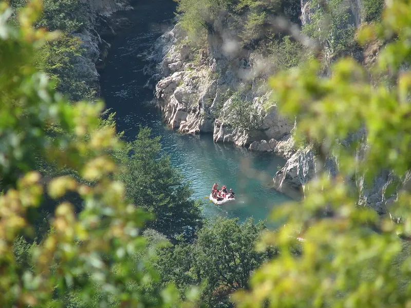
Kayak & rafting
Rafting on the Neretva
Above Konjic, the Neretva runs fast, green and clear through a canyon. The stretch from Glavatičevo to Konjic is used for rafting: about 23 kilometres with wild sections of grade 2 to 3.
2 places to stay View
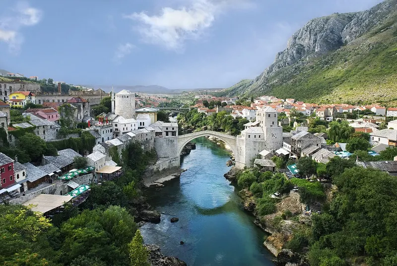
Sight
Stari Most (Old Bridge)
Stari Most, the Old Bridge, crosses the Neretva in a single stone arch, and Mostar itself is named after the bridge keepers. Destroyed in the war in 1993 and rebuilt as faithfully as possible, the bridge now stands at the heart of the UNESCO World Heritage site around Mostar's old town.
1 place to stay View
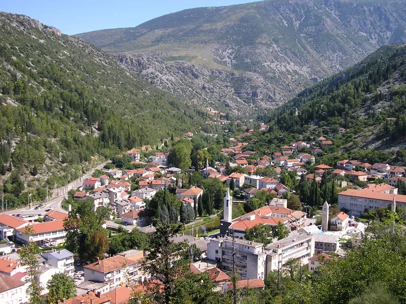
Sight
Stolac
Stolac lies in the southeast of Bosnia and Herzegovina, at the far eastern edge of Herzegovina-Neretva Canton, on the Bregava river. Below Vidoški fortress, the small town keeps traces of many periods, from the Old Stone Age and Hellenistic Daorson to mosques of the Ottoman era, mills and bridges.
View
Sight
Tito's nuclear bunker ARK D-0
Inside Zlatar hill near Konjic, well hidden on the banks of the Neretva, lies a nuclear bunker from the Cold War. The Yugoslav People's Army built ARK D-0, known as Tito's bunker, between 1953 and 1979 for Josip Broz Tito and up to 350 members of the state and military leadership. Today the complex is a national monument and also a venue for contemporary art.
2 places to stay View
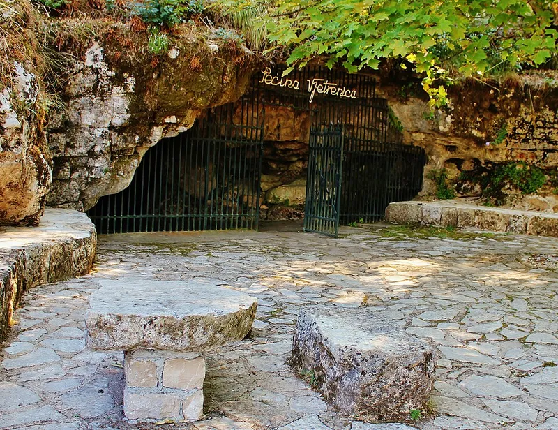
Sight
Vjetrenica Cave
Vjetrenica Cave lies on the edge of Popovo polje near Zavala in southern Herzegovina, just 12 kilometres as the crow flies from the Adriatic. It is known for its underground wildlife, and since 2024 it has been on the UNESCO World Heritage List for its biodiversity. Part of the cave can be visited on a guided tour.
View
Istočno Sarajevo region
Sight
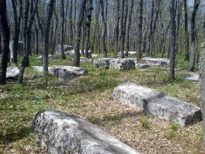
Borak necropolis
The Borak necropolis lies in the northwest of Rogatica municipality on the hill of the same name above the village of Burati, southeast of the road from Sokolac to Rogatica. In a young oak wood more than 200 stećci stand or lie, one of them carved with a hunting scene featuring a deer and a bear. Since 2016 the necropolis has been part of the UNESCO World Heritage property of the stećci.
1 place to stay View
Sight
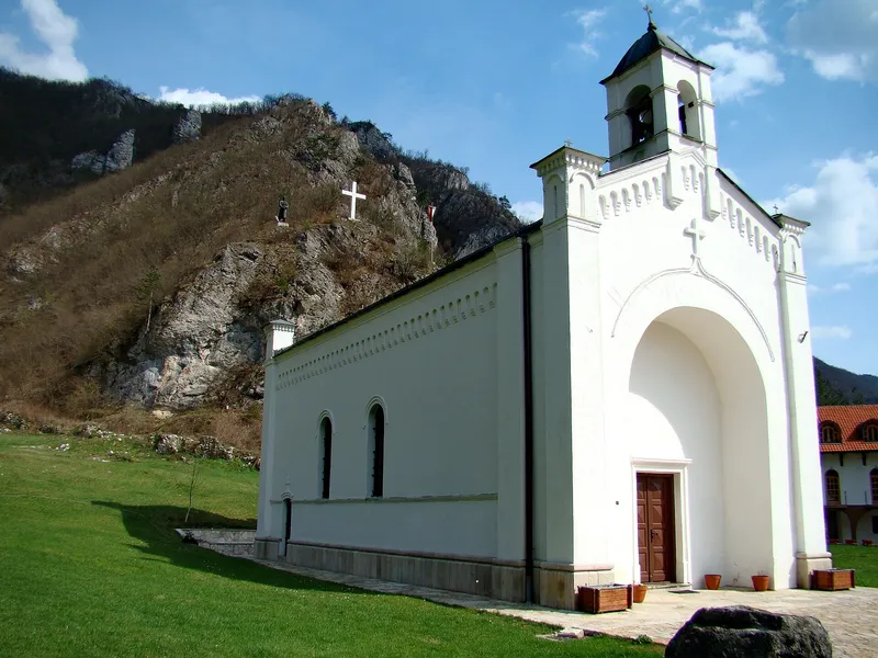
Dobrun Monastery
The Serbian Orthodox monastery of Dobrun, also known as Kruševo, lies about 12 kilometres from Višegrad in the Rzav valley, close to the border with Serbia. It is dedicated to the Dormition of the Mother of God, belongs to the Metropolitanate of Dabar-Bosnia and is on the provisional list of national monuments of Bosnia and Herzegovina.
View
Hiking
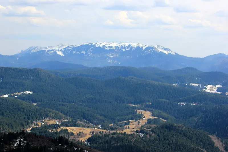
Jahorina
Jahorina is a mountain in the Dinaric Alps whose highest peak, Ogorjelica, reaches 1,916 metres. On its slopes lies the Jahorina Olympic Center, where the women's alpine events of the 1984 Winter Olympics were held; in summer it draws hikers and mountain bikers.
View
Sight
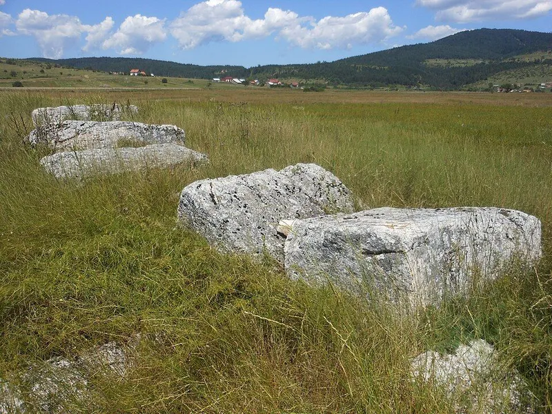
Luburića polje necropolis
The Luburića polje necropolises lie near the village of Košutica, about 6 km northeast of Sokolac, on the wide expanse of Luburića polje in the Glasinačko polje area. Two groups of stećci stand here, one of them on a prehistoric burial mound, a sign that people were buried at this spot over a very long period. Since 2016 they have been part of the UNESCO World Heritage property of the stećci.
View
Nature
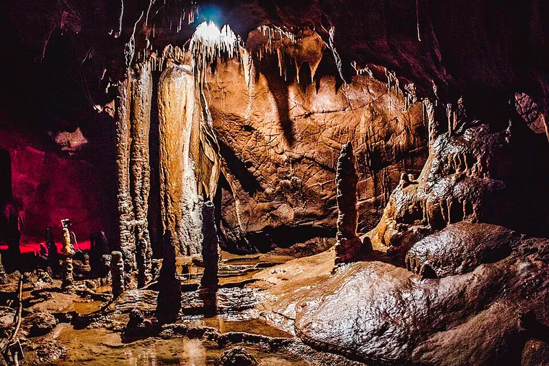
Orlovača Cave
Orlovača is a show cave on the hill of the same name near Sumbulovac in the municipality of Pale. Locals also call it Savina pećina. Of more than 2.5 kilometres of passages, around 560 metres have been fitted with lit paths for visitors.
3 places to stay View
Nature
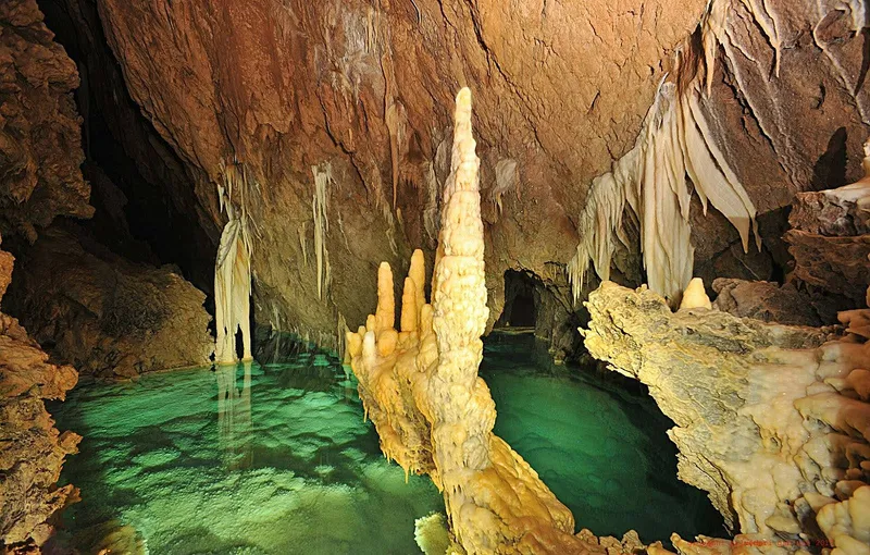
Prača gorge and Govještica cave
In the east of Republika Srpska the Prača has cut deep into the limestone; in its gorge lies Govještica cave, a system 9682 metres long and not yet fully explored. Since 2021 the area has been protected as Prača Nature Park.
1 place to stay View
Nature
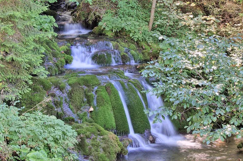
Source of the Paljanska Miljacka
The Paljanska Miljacka, one of the two headwaters of the Miljacka, rises at Vrelo Paljanske Miljacke in Gornje Pale. The spring lies at 1,010 metres at the foot of Jahorina, about 20 kilometres south-east of central Sarajevo, and is a well-known excursion spot near Pale.
1 place to stay View
Hiking
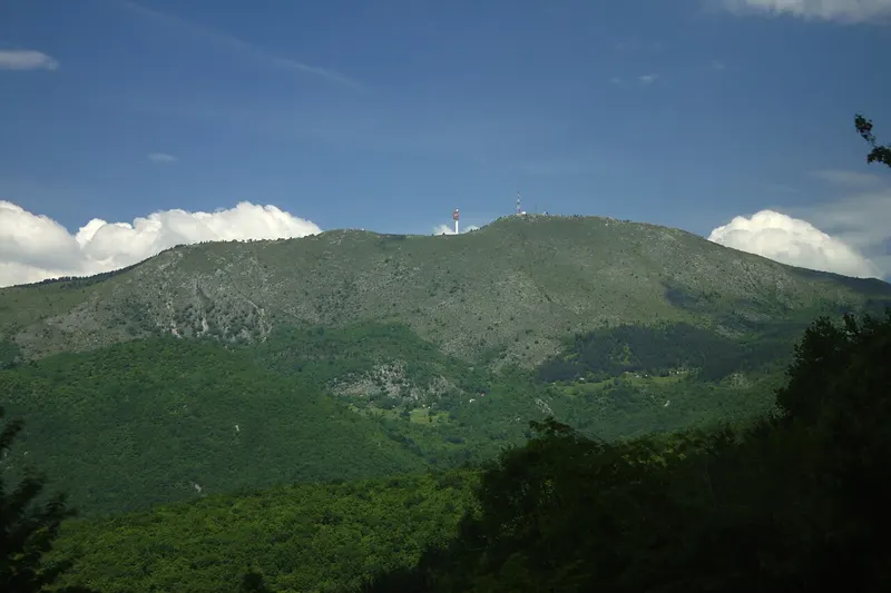
Trebević
Trebević rises south-east above Sarajevo and has been a popular place for outings among the city's residents since Austro-Hungarian times. A cable car climbs up from Bistrik, and the bobsleigh track of the 1984 Winter Olympics lies in the forest.
2 places to stay View
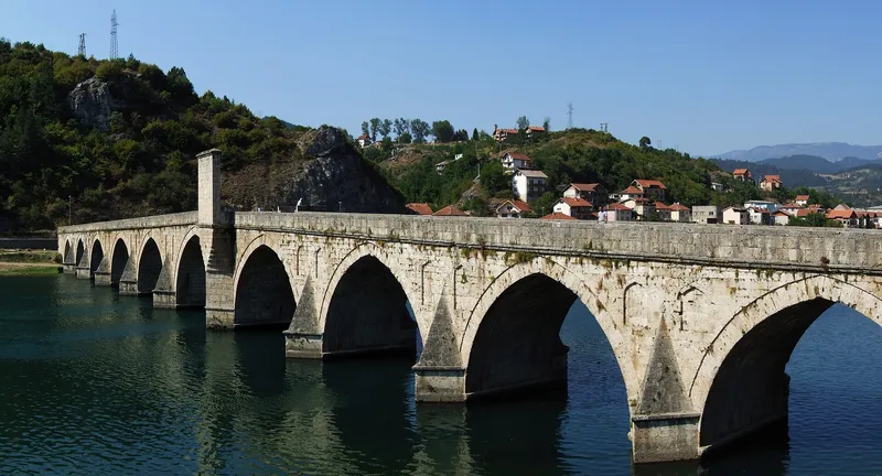
Sight
Višegrad
Višegrad lies in eastern Bosnia and Herzegovina on the right bank of the Drina, where the Rzav flows into it. The small town is known for the 16th-century Mehmed Paša Sokolović Bridge, a UNESCO World Heritage site and the setting of Ivo Andrić's novel The Bridge on the Drina.
View
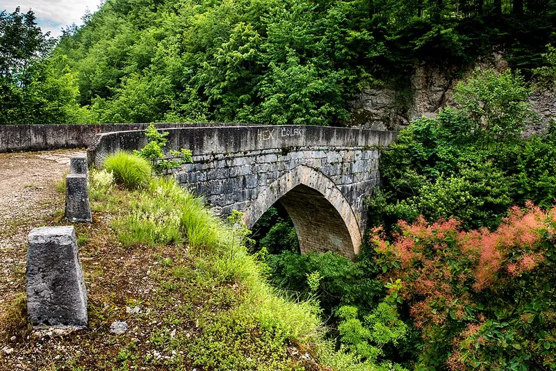
Sight
Žepa Bridge
With just one pointed arch, the Ottoman stone bridge spans the Žepa below the village of the same name in the municipality of Rogatica. It was built in the second half of the 16th century and was moved to its present site before the Drina was dammed. Ivo Andrić devoted a short story to it.
View
Prijedor region
Sight
Azizija Mosque (Kostajnica)
The Azizija Mosque marks the centre of the Užice quarter of Kostajnica on the Una. It was built in 1862 at the wish of Sultan Abdülaziz and bears his name. Destroyed in July 1992, it was rebuilt and reopened on 12 July 2008.
View
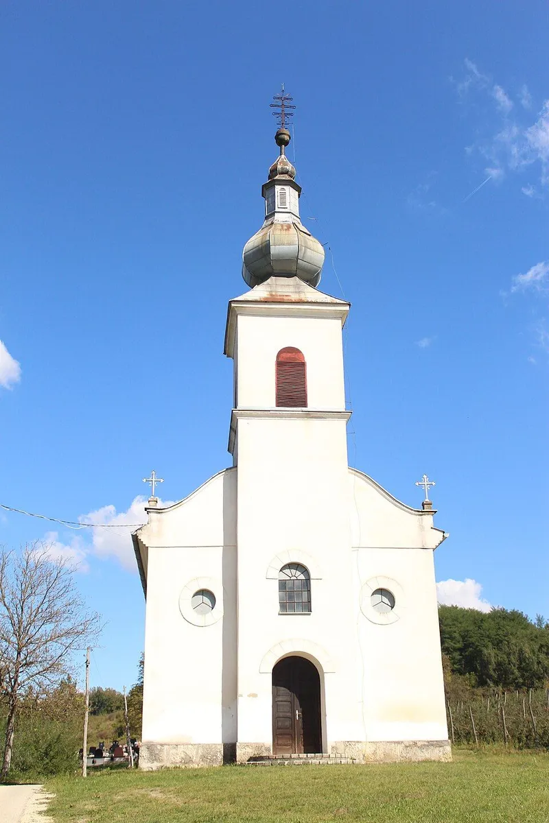
Sight
Church of St Nicholas (Dobrljin)
Dobrljin lies on the right bank of the Una in the municipality of Novi Grad, on the railway line to Banja Luka. Its Serbian Orthodox parish church is dedicated to the Translation of the Relics of St Nicholas and replaced an older wooden church on the same spot. Its story reflects what the village went through in the Second World War and afterwards.
View
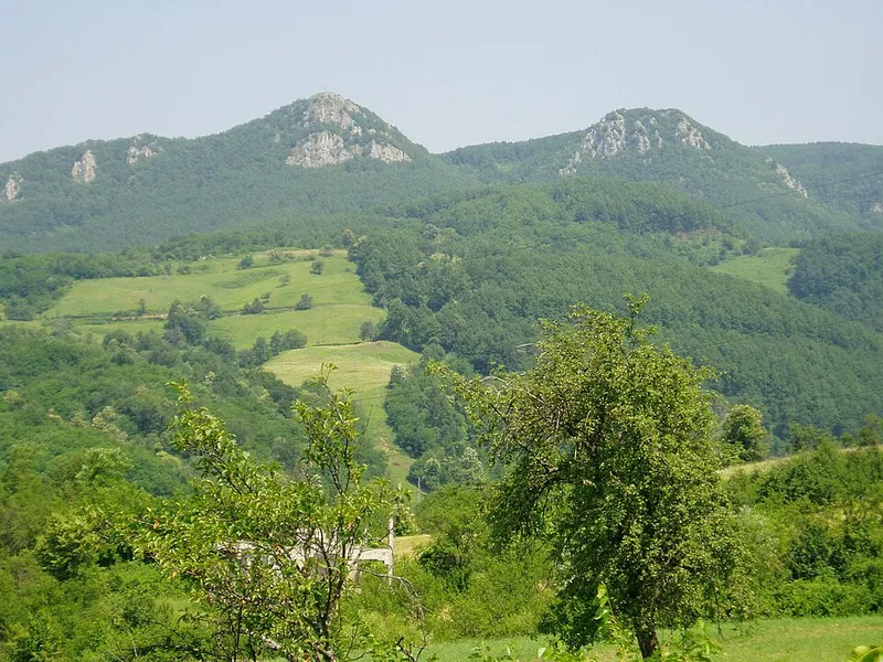
Nature
Kozara National Park
Kozara National Park lies in the central part of the mountain of the same name, between the Una, Sava, Sana and Vrbas rivers. It covers 3,907 hectares of forest, clearings and streams, centred on the Mrakovica plateau with its memorial to the fighting of the Second World War.
View
Sight
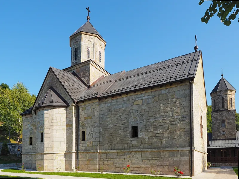
Moštanica Monastery
The Serbian Orthodox monastery of Moštanica lies in the wooded valley of the stream of the same name on the northern slopes of Kozara, about 12 kilometres from Kozarska Dubica. It belongs to the Eparchy of Banja Luka, is dedicated to the Archangel Michael and is protected as a cultural monument.
View
Sarajevo Canton
Go to the region page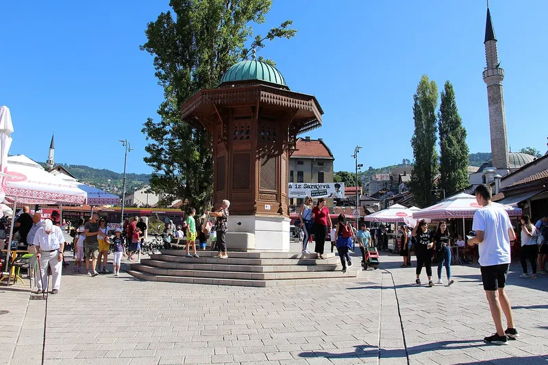
Sight
Baščaršija, Sarajevo
Baščaršija is Sarajevo's old bazaar and the historic heart of the city. Its mosques, craft streets and coffee houses show how the Ottoman town grew in the 15th and 16th centuries.
4 places to stay View
Nature
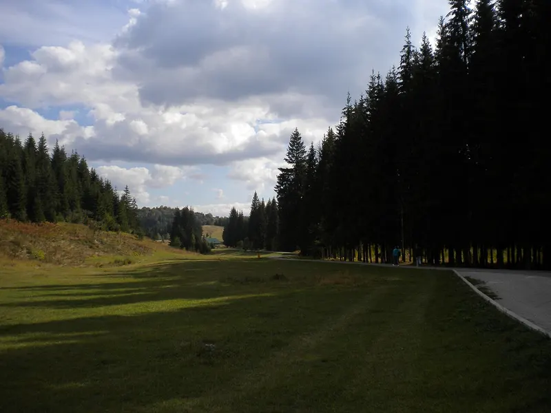
Bijambare caves and nature park
Bijambare is a protected landscape on the Nišići plateau in the north of Sarajevo Canton, right by the Sarajevo–Tuzla road. It is known above all for its eight caves, one of which is lit and fitted out for visitors.
5 places to stay View
Hiking
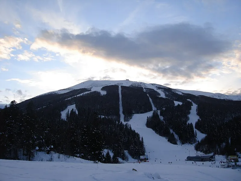
Bjelašnica
Bjelašnica is a mountain range in the Dinaric Alps south-west of Sarajevo, with its main summit at 2,067 metres. The men's alpine events of the 1984 Winter Olympics were held here; in summer hikers come for the summit trails and the mountain villages on the edge of the Rakitnica canyon.
1 place to stay View
Sight
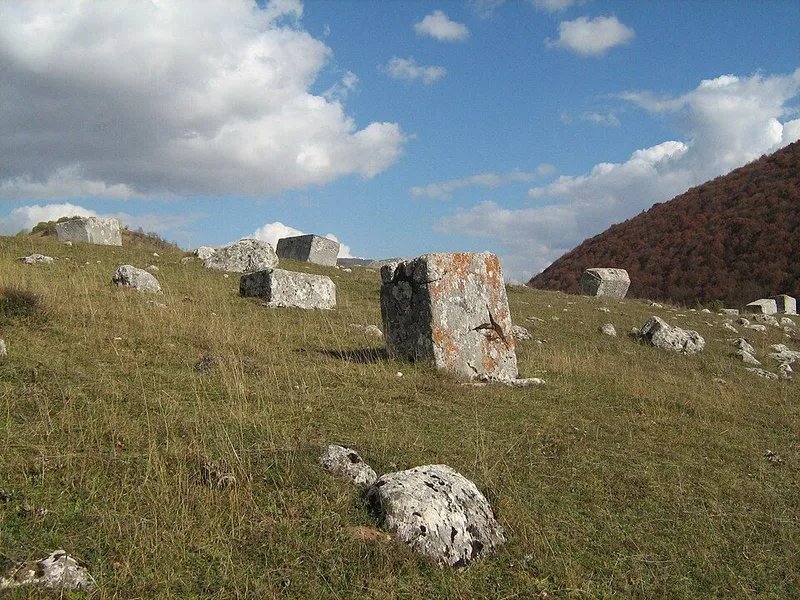
Dolovi (Umoljani) necropolis
The Dolovi necropolis lies outside the mountain village of Umoljani in the municipality of Trnovo, on the Bjelašnica plateau between the mountains of Bjelašnica, Treskavica and Visočica. On open pasture stand 53 stećci, the medieval tombstones of the region, together with 11 old nišani. Since 2016 the site has been part of the UNESCO World Heritage property of the stećci.
1 place to stay View
Hiking
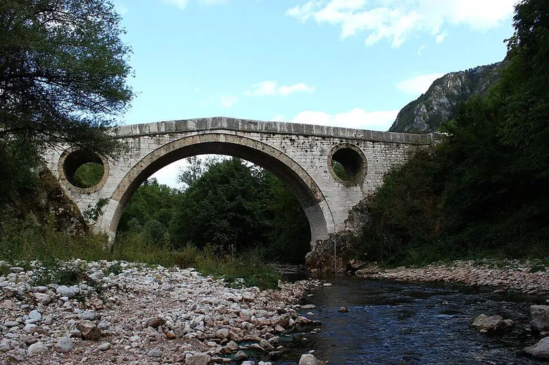
Goat's Bridge (Kozija ćuprija)
Kozija ćuprija, the Goat's Bridge, is an Ottoman stone arch bridge in the Miljacka canyon east of Sarajevo's old town. Today it is the destination of a popular riverside walk.
4 places to stay View
Hiking
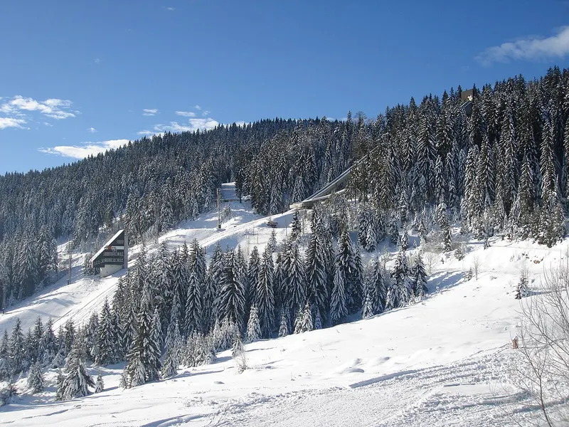
Igman
Igman is a forested mountain plateau south-west of Sarajevo, between Bjelašnica, Hadžići and Ilidža. During the 1984 Winter Olympics it hosted the Nordic events and ski jumping, and in the war of 1992–1995 almost the only supply road into the besieged city ran across it. Today it is a popular place for hiking, cycling and skiing.
3 places to stay View
Nature
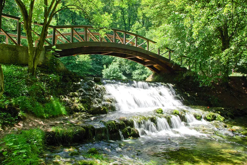
Ilidža and the source of the Bosna
At the foot of Igman, south-west of Sarajevo, rises the Bosna, the river after which the whole country is named. Its source area, Vrelo Bosne, is a park of ponds, islets and bridges, reached from the spa town of Ilidža along the Velika aleja avenue.
3 places to stay View
Sight
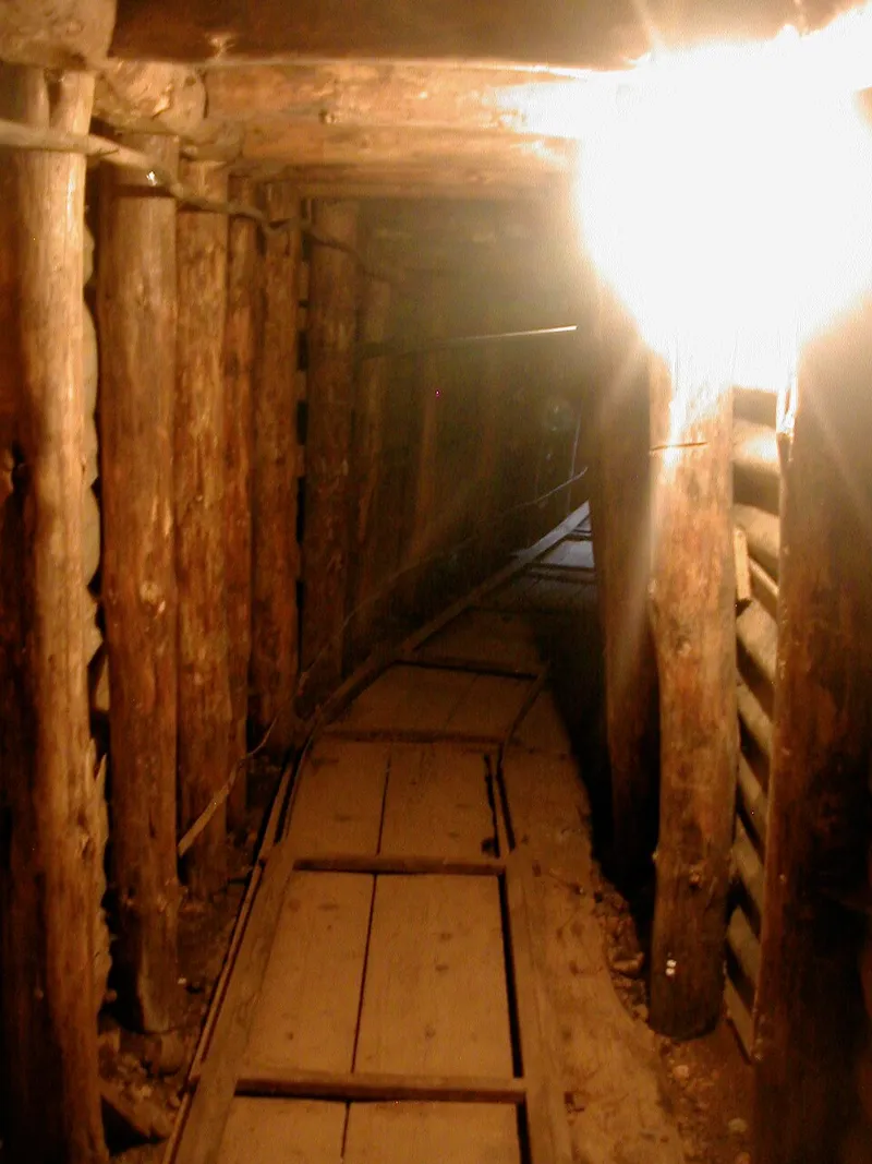
Sarajevo Tunnel Museum
In 1993 Bosnian soldiers dug a tunnel under the runway of Sarajevo airport, linking the besieged city with Butmir on the other side. The Kolar family house at the tunnel entrance in Butmir is now a museum, and part of the tunnel can be walked through.
3 places to stay View
Hiking
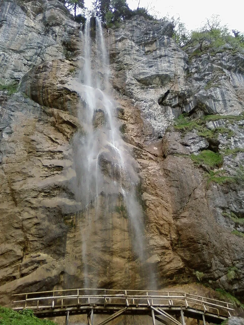
Skakavac waterfall (Sarajevo)
Skakavac Waterfall drops 98 metres down a rock face about 12 km from the centre of Sarajevo. It lies above the village of Nahorevo in the Skakavac Natural Monument, which protects some 1,430 hectares on the slopes of Ozren and Bukovik.
5 places to stay View
Hiking
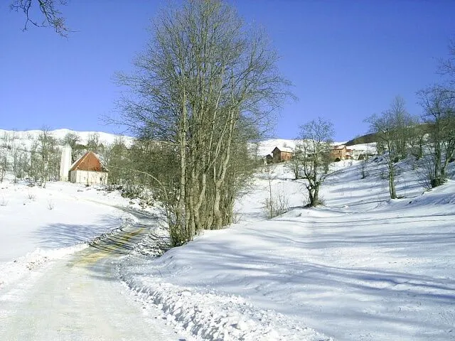
Umoljani
Umoljani is a mountain village in the municipality of Trnovo on Bjelašnica, set above 1200 metres over the canyon of the Rakitnica. A mosque with an unusual minaret, the stećci of Dolovi and a dragon legend make it as well known as the hiking trails that start here.
1 place to stay View
Sight
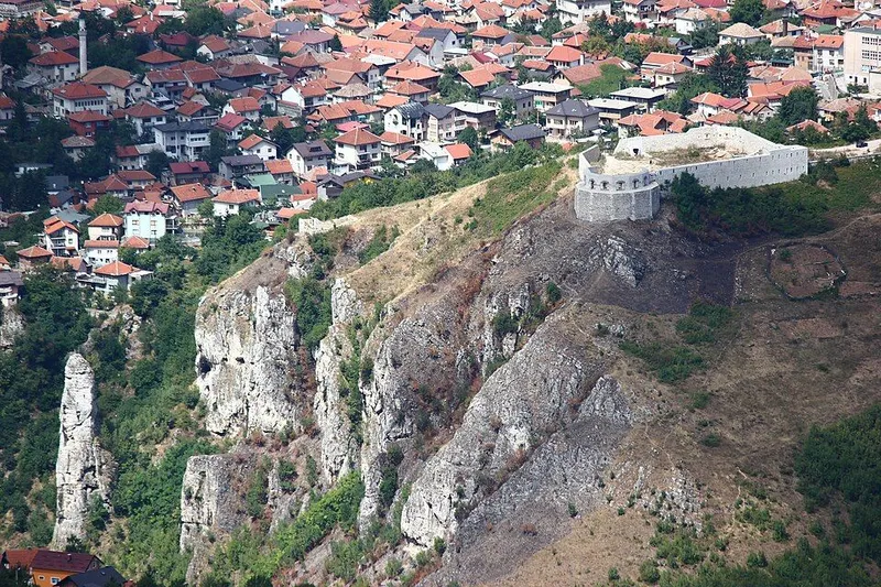
White Bastion (Bijela tabija)
Bijela Tabija, the White Bastion, is a fortress above the historic core of Sarajevo. It stands at 667 metres on the eastern edge of the city and looks out over the entrance to the valley, the Miljacka canyon and the old town.
4 places to stay View
Trebinje and Foča region
Go to the region pageSight
Aladža Mosque
The Aladža Mosque in Foča was built around 1550 and is regarded as the first mosque in Bosnia and Herzegovina in the classical Ottoman style. It was destroyed in 1992 and, after being rebuilt to the original plans, reopened on 4 May 2019.
3 places to stay View
Sight
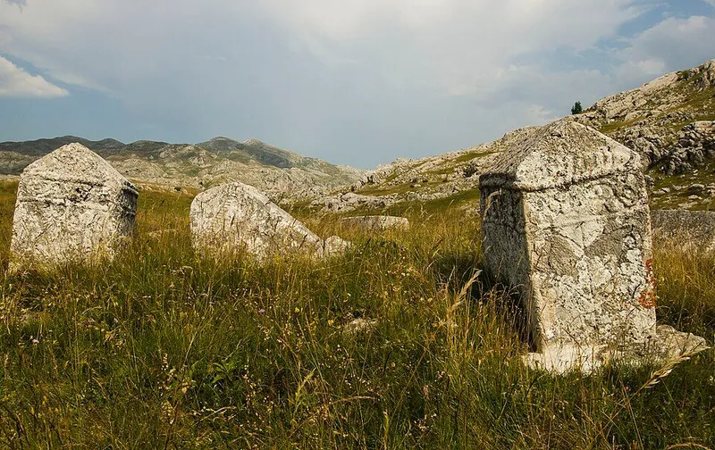
Čengića Bara necropolis
The Čengića Bara necropolis lies at 1370 metres on Zelengora, about 11 km southwest of Kalinovik, on a gentle rise in the middle of the karst field of Kladovo polje. Beside a summer herders' settlement stand 52 stećci, among them tall gabled stones and one stone with an inscription. Since 2016 the necropolis has been part of the UNESCO World Heritage property of the stećci.
1 place to stay View
Sight
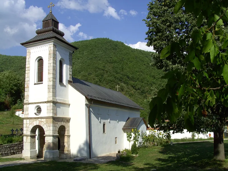
Church of St George (Sopotnica)
On the left bank of the Drina, four kilometres north of Goražde, the Church of St George stands in the village of Donja Sopotnica at the foot of Gradina hill. Herceg Stjepan Vukčić Kosača had it built in 1454. Since 2008 the ensemble has been a national monument of Bosnia and Herzegovina.
1 place to stay View
Sight
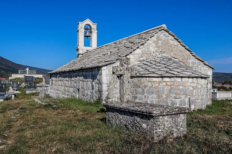
Church of St Nicholas (Srđevići)
The Church of St Nicholas in Srđevići stands on a gentle rise in the village's Orthodox cemetery, on the edge of Gatačko polje. Its exact building date is unknown, but it already existed before 1598. Fragments of frescoes survive inside, and since 2005 the church and cemetery have been a national monument of Bosnia and Herzegovina.
1 place to stay View
Nature
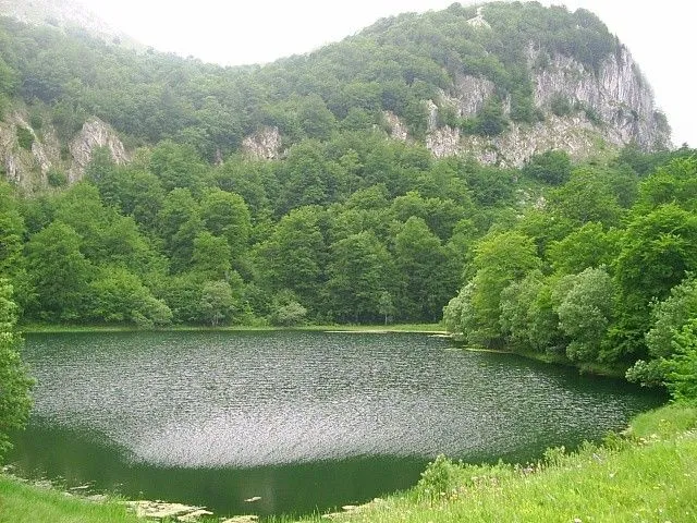
Donje Bare
Donje Bare is a natural mountain lake on Zelengora in Sutjeska National Park. It lies at about 1,475 metres at the foot of Tovarnica, some 20 kilometres from Tjentište. A short path leads from the lake to the Borić viewpoint on the rim of the Sutjeska canyon.
2 places to stay View
Sight
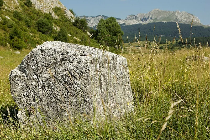
Gvozno necropolis
The Gvozno necropolis lies in Gvozno polje, a small karst field on Treskavica near Kalinovik, at the foot of Gradac hill. An area of 46 x 23 metres holds stećci carved with hunting and round-dance scenes, dogs and winged dragons. Since 2016 Gvozno has been part of the UNESCO World Heritage property of the stećci.
1 place to stay View
Sight
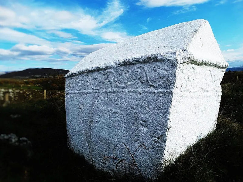
Kalufi necropolis
The Kalufi necropolis lies on the southern slope of Crvanj north of the village of Krekovi in the municipality of Nevesinje. With 462 stones spread over some 18,000 square metres it is one of the large stećci graveyards, although its richly carved showpiece was taken to Belgrade in 1960. Since 2016 Kalufi has been part of the UNESCO World Heritage property of the stećci.
2 places to stay View
Swimming
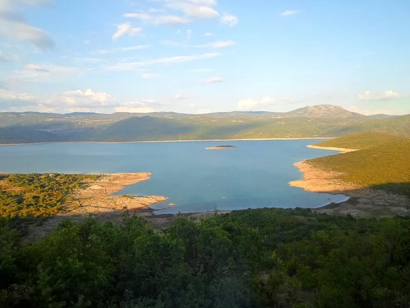
Lake Bileća
Lake Bileća is a reservoir on the Trebišnjica near Bileća in eastern Herzegovina. It was created in 1968 when the Grančarevo dam was built, and a small part of the lake lies in Montenegro.
View
Sight
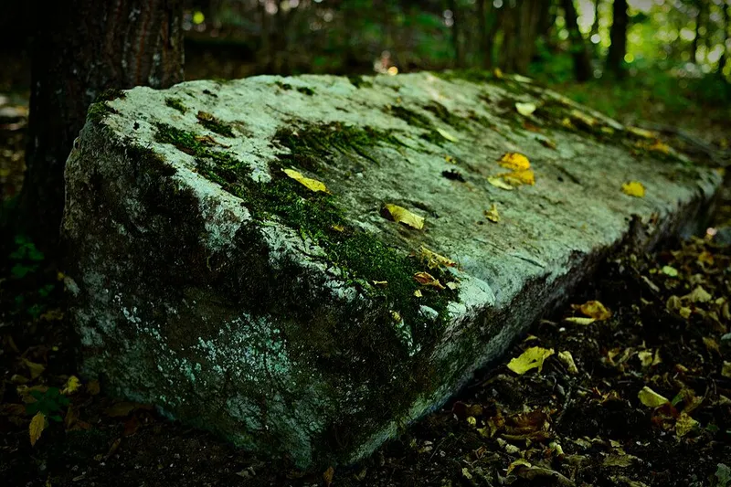
Mramor (Vrbica) necropolis
The Mramor necropolis lies at the site of Crkvina in the hamlet of Vrbica near the village of Čelebići, about 20 km southeast of Foča at 948 metres. On a hill in a hornbeam wood, medieval stećci stand beside late antique grave slabs and a Roman altar. Since 2016 the necropolis has been part of the UNESCO World Heritage property of the stećci.
2 places to stay View
Hiking
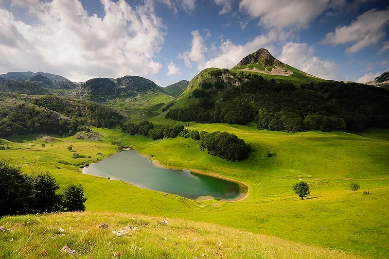
Orlovačko Lake
Orlovačko Lake is a natural mountain lake at 1,438 metres on Zelengora and lies within Sutjeska National Park. The area around the lake is regarded as the centre of the range, and day hikes from here reach large parts of Zelengora.
2 places to stay View
Sight
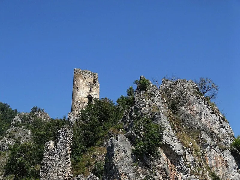
Samobor Fortress
The ruins of Samobor crown a rocky summit on the slopes of Borovska planina, above the point where the Janjina flows into the Drina. The fortress was built by Sandalj Hranić and became one of the favourite strongholds of the noble Kosača family. Since 2006 the site, in the municipality of Novo Goražde, has been a national monument of Bosnia and Herzegovina.
1 place to stay View
Nature
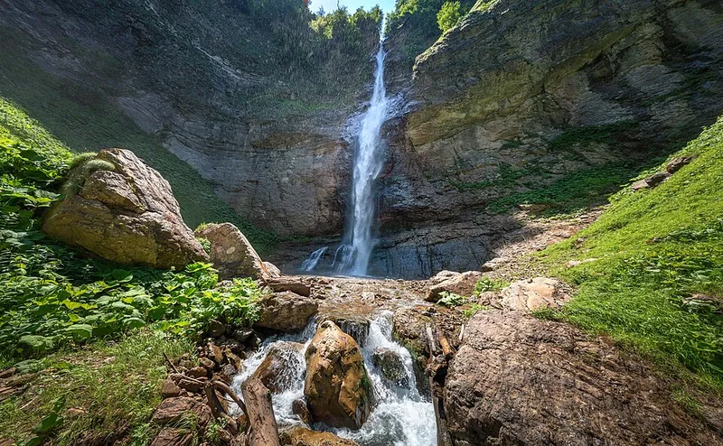
Skakavac waterfall (Perućica)
Skakavac plunges more than 70 metres over a limestone cliff in the heart of the Perućica primeval forest. Forest and waterfall belong to Sutjeska National Park near the border with Montenegro; the falls can be seen from the Dragoš sedlo viewpoint.
2 places to stay View
Nature
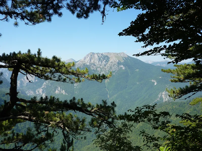
Sutjeska National Park
Sutjeska National Park in south-eastern Bosnia and Herzegovina stretches from the Sutjeska valley to the 2386-metre Maglić on the border with Montenegro. It includes the Perućica primeval forest with the Skakavac waterfall, the mountain lakes of Zelengora and the Tjentište memorial.
2 places to stay View
Sight
Tjentište, Valley of Heroes
Tjentište is a village and valley on the Sutjeska river in the municipality of Foča, lying entirely within Sutjeska National Park. Here the memorial complex in the Valley of Heroes commemorates the 1943 Battle of the Sutjeska. At its heart stands the monument by sculptor Miodrag Živković, erected in 1971, with two concrete wings 19 metres high.
2 places to stay View
Sight
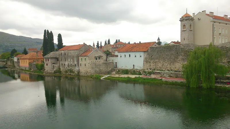
Trebinje
Trebinje lies in the far south of Bosnia and Herzegovina, on the Trebišnjica river below Mount Leotar. The town in Republika Srpska combines an Ottoman old town with a centre from the Austro-Hungarian period shaded by plane trees, with monasteries and vineyards in the surrounding countryside.
View
Sight
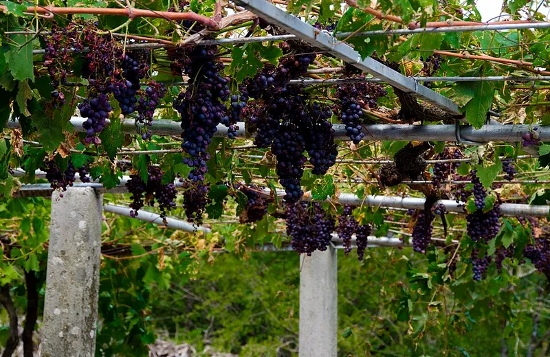
Tvrdoš Monastery
The Serbian Orthodox monastery of Tvrdoš stands on rocks on the right bank of the Trebišnjica west of Trebinje. Its church rests on foundations from the 4th century, and the monastery is also known for its wine and its wine cellars.
View
Tuzla Canton
Sight
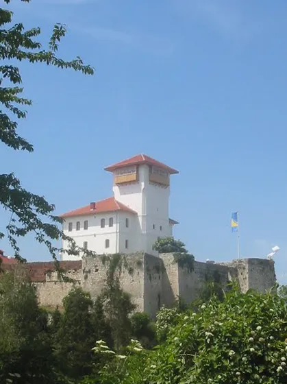
Gradačac Castle
Above the centre of Gradačac rises the fortress with the tower of Husein-kapetan Gradaščević, the symbol of the town. From here the ‘Dragon of Bosnia’ led an uprising against the sultan's centralising reforms in 1831. The old town with its walls has been a national monument of Bosnia and Herzegovina since 2004.
View
Nature
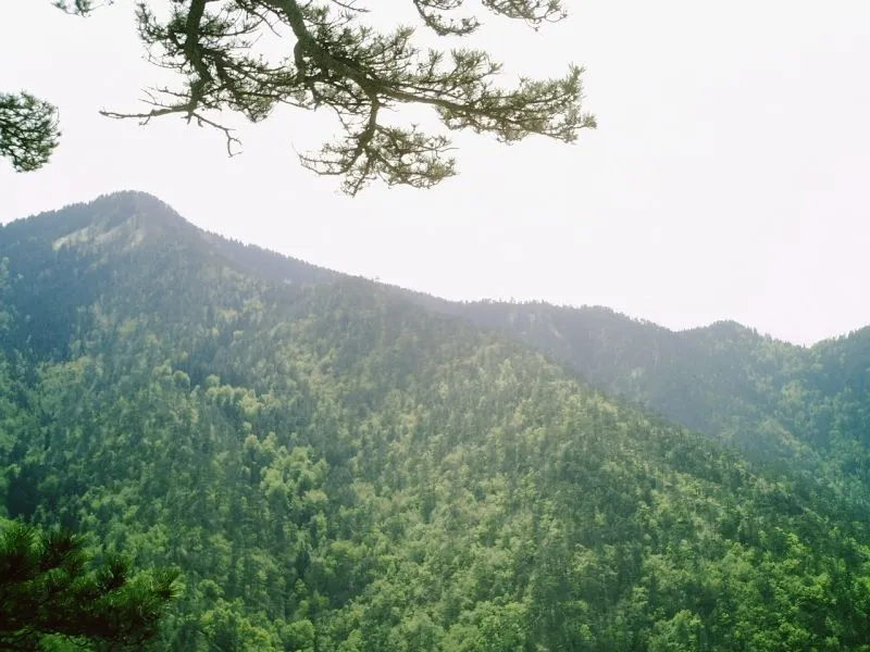
Konjuh: Paučko Lake
Paučko Lake, also known as Gorsko oko, is a small natural mountain lake on Mount Konjuh, about 10 kilometres from Kladanj. It lies in the forested part of the mountain near the Muška voda excursion area, inside the Konjuh protected landscape.
4 places to stay View
Swimming
Modrac Lake
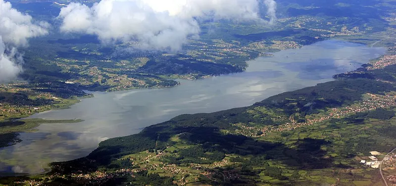
Modrac Lake lies in the municipality of Lukavac, about 6 kilometres from the town of Lukavac and 9 kilometres from Živinice. It was created in 1964 by a dam on the Spreča; many species of fish live in the lake, and it is popular with anglers.
View
Sight
Olovci necropolis
The Olovci necropolis lies about 10 km northwest of Kladanj beside the road from Olovci to Tuholj, on a forested slope that falls gently towards the road. A fenced plot of 24.5 x 14 metres holds 18 stećci, among them a stone with an inscription in Bosnian Cyrillic. Since 2016 this small necropolis has been part of the UNESCO World Heritage property of the stećci.
3 places to stay View
Swimming
Pannonian salt lakes, Tuzla
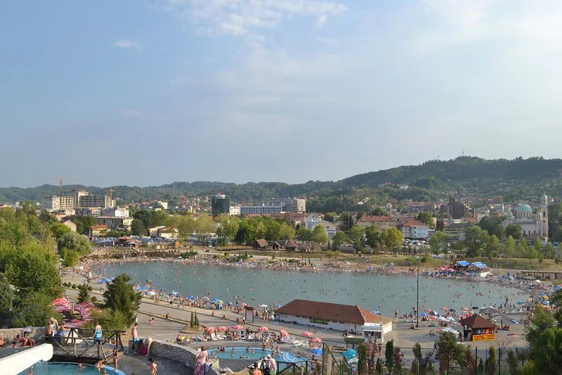
In the middle of Tuzla, only a few hundred metres from the main square, lie three artificial lakes filled with salt water from underground. People swim in the Pannonian Lakes in summer, and the lakes recall the sea that once covered this region. Salt has always shaped the town, right down to its name.
View
Sight
Srebrenik Fortress
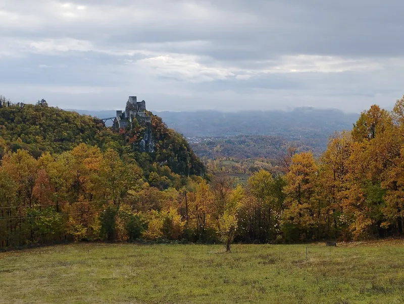
Srebrenik Fortress stands on a high, steep and almost inaccessible crag above the valley of the Tinja, on the north-eastern slopes of the Majevica. It lies in the village of Gornji Srebrenik, about 5 kilometres from the small town of Srebrenik, and has been a national monument of Bosnia and Herzegovina since 2004.
View
Sight
Teočak Fortress
The remains of Teočak Fortress sit on a steep rock above the small Tavna river, on the slopes of Majevica in north-eastern Bosnia. The heritage institute of Tuzla Canton dates the site to the 14th century. At its foot stand the Fethija Mosque of 1548, old gravestones and granite balls.
View
Una-Sana Canton
Go to the region page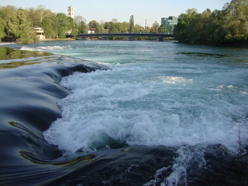
Sight
Bihać
Bihać lies in north-western Bosnia and Herzegovina, on the Una river close to the Croatian border. The administrative centre of Una-Sana Canton has an old town with buildings from the medieval, Ottoman and Austro-Hungarian periods. Una National Park also lies within the city's territory.
1 place to stay View
Nature
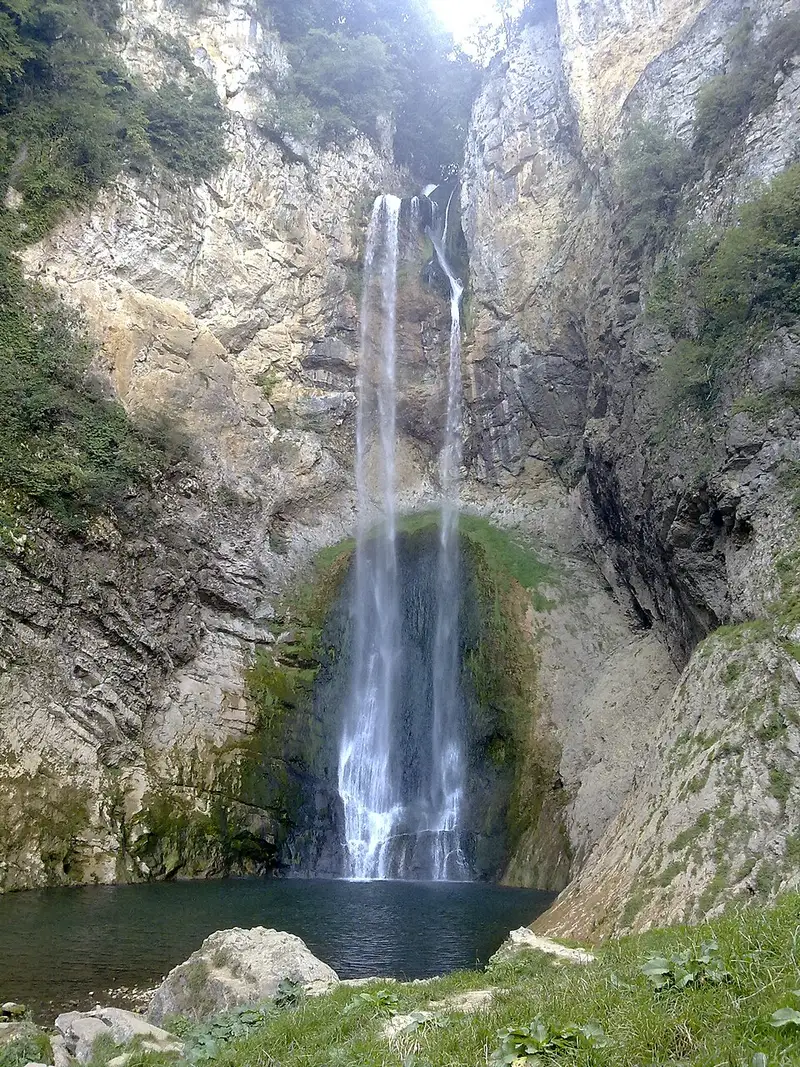
Bliha Falls
About 14 kilometres west of Sanski Most, the Bliha river plunges over a cliff 56 metres high. Locals call the waterfall Blihin skok, ‘Bliha's leap’. It has been protected as a natural monument since 1965.
View
Sight
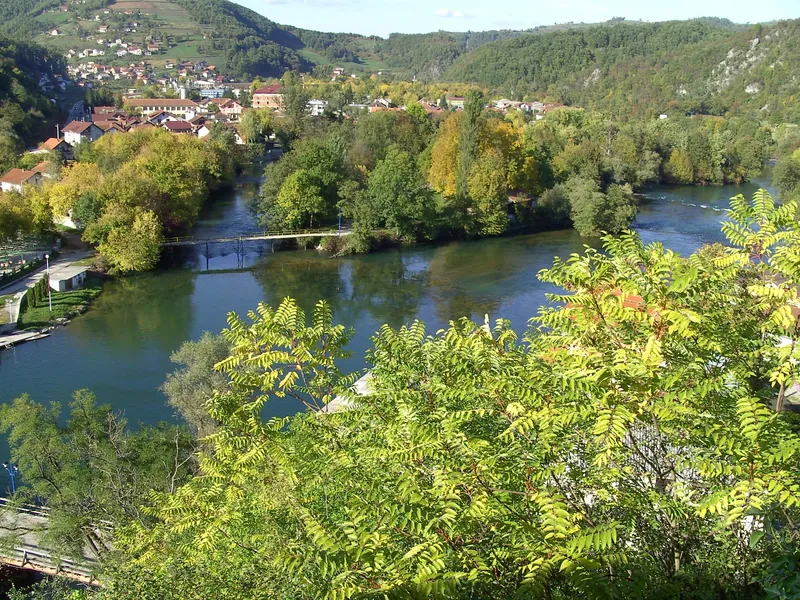
Bosanska Krupa
Bosanska Krupa lies in north-western Bosnia and Herzegovina on the rivers Una and Krušnica, north-east of Bihać. On a rock above the town stands the fortress, below which the centre of the settlement developed; it has been a national monument since 2007.
1 place to stay View
Sight
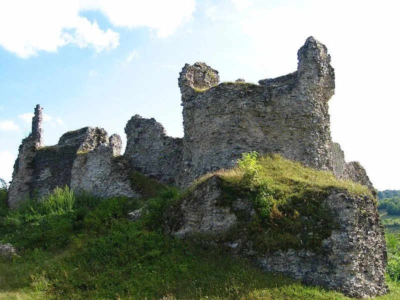
Bužim Fortress
Bužim Fortress stands on a hill at an altitude of 325 metres above the town of the same name, where the Bužimkovac and Pomojdan brooks meet at its foot. The ruin, made up of an older inner castle and a later outer ring of walls, was a major medieval fortress of the Krajina and has been a National Monument of Bosnia and Herzegovina since 2003.
View
Nature
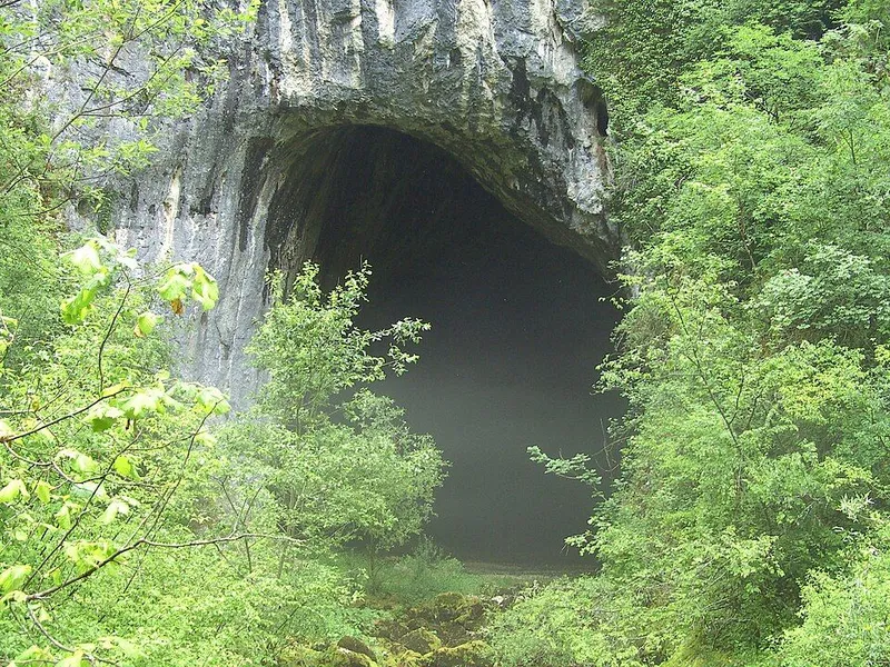
Dabar Cave
Dabar Cave lies in the municipality of Sanski Most, in the hamlet of Donji Dabar south of the town. The Dabar, a small karst river that flows into the Sana, rises directly below its large entrance portal. The name means Beaver Cave.
View
Nature
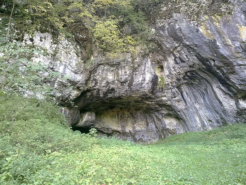
Hrustovača Cave
Hrustovača Cave lies near the village of Hrustovo in the municipality of Sanski Most, about 12 kilometres from the town, in north-western Bosnia and Herzegovina. It is known for its dripstones and for Copper Age finds that gave their name to a regional variant of the Vučedol culture.
View
Sight
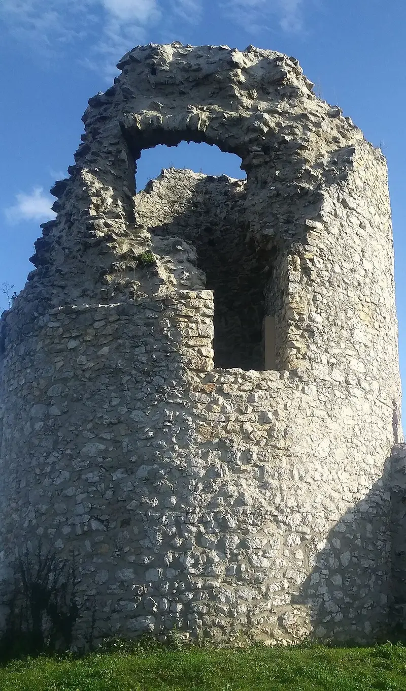
Jezerski Fortress
Jezerski Fortress, called Jezersko in the heritage commission's decision, lies about four kilometres west of Bosanska Otoka in the municipality of Bosanska Krupa. It has been a National Monument of Bosnia and Herzegovina since 2003, with protection covering the old fort and the mosque inside its walls.
View
Sight
Kamengrad Fortress
The ruins of Kamengrad Fortress stand at 417 metres on a crag above the village of Donji Kamengrad, about 9 kilometres from Sanski Most. Since 2008 the fortress has been a National Monument of Bosnia and Herzegovina as a historic site.
View
Sight
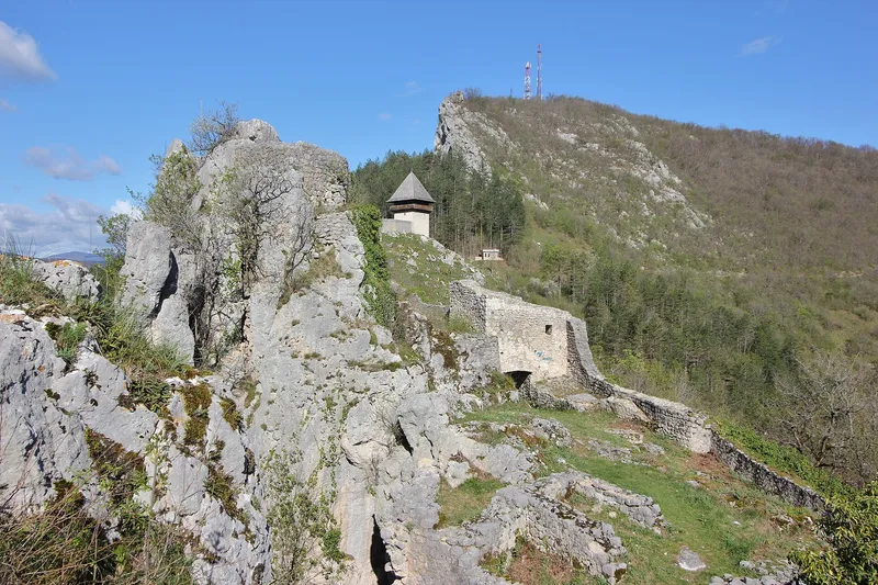
Ključ Fortress
Ključ Fortress stands at 521 metres above the left bank of the Sana and the modern town, where the river enters a gorge between Breščica and Ljubinska planina. Since 2003 the medieval and Ottoman fortress, the Tabori and the Ljubica tower have together formed a National Monument of Bosnia and Herzegovina.
View
Fishing
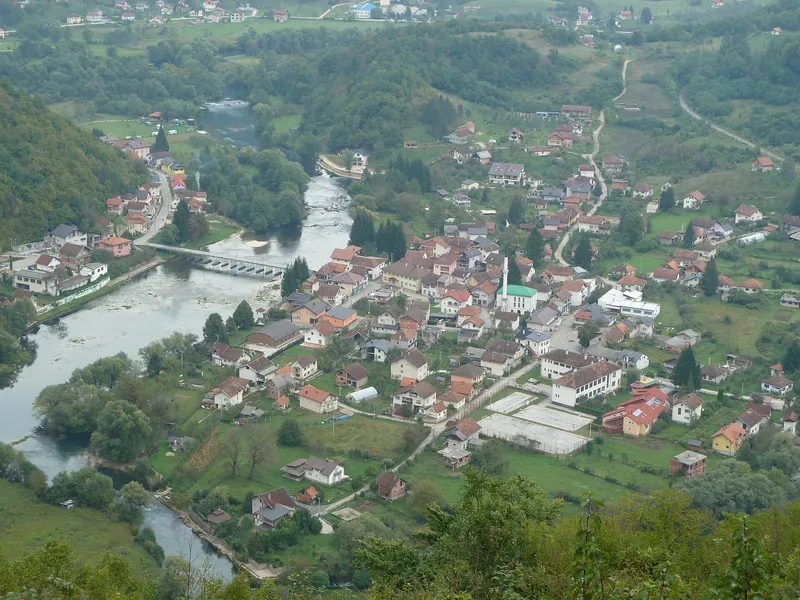
Kulen Vakuf
Kulen Vakuf is a small town on the upper Una, about 40 kilometres south-east of Bihać and close to the Croatian border. The fortress of Ostrovica towers above it, and visitors come mainly for water sports and fly fishing.
1 place to stay View
Nature
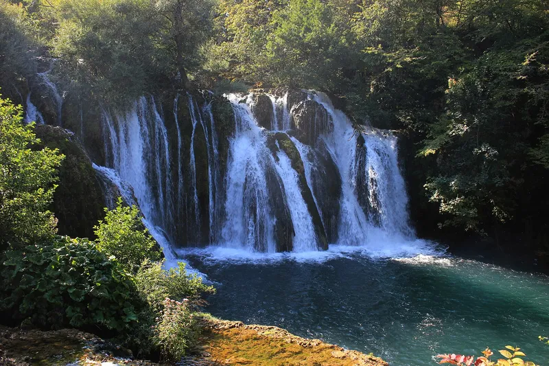
Martin Brod (Una National Park)
Martin Brod lies in a valley basin where the Una and the Unac meet, a few hundred metres east of the Croatian border. The Una flows right through the village, forming countless waterfalls, side channels and tufa cascades that belong to Una National Park.
1 place to stay View
Sight
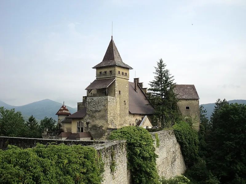
Ostrožac Castle
Ostrožac Castle stands on a height above the left bank of the Una by the village of the same name, where the road to Cazin branches off. Within its walls lie a medieval fort, an Ottoman extension, the manor of the Berks family and a park of stone sculptures.
View
Sight
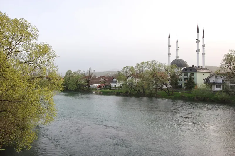
Sanski Most
Sanski Most lies in north-western Bosnia and Herzegovina on the Sana river, in the Bosanska Krajina region between Prijedor and Ključ. Because eight smaller rivers flow through the municipality besides the Sana, the town is known as the “town of nine rivers”; it also goes by the nickname “town of flowers”.
View
Sight
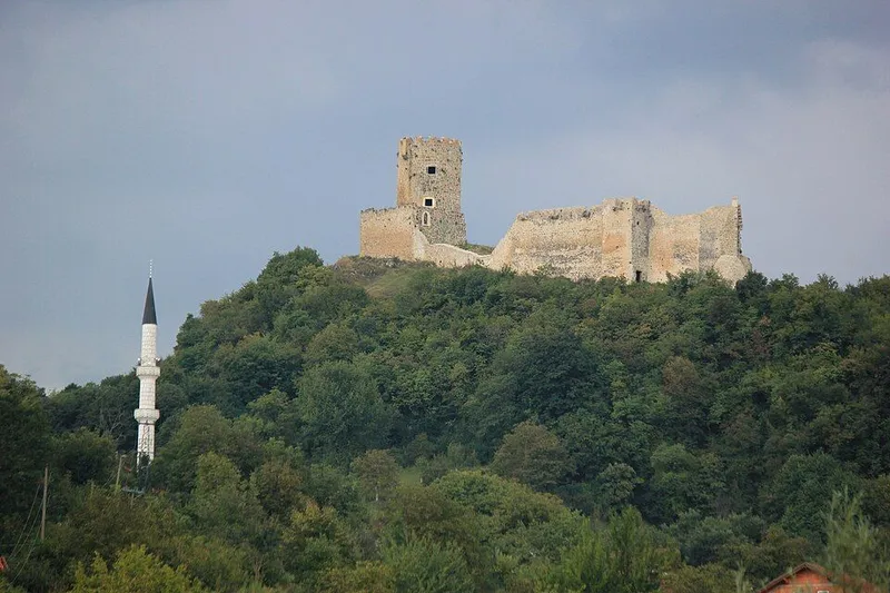
Sokolac Fortress (Bihać)
Sokolac Fortress stands on a rise on the left bank of the Una above the village of the same name, on the road from Bihać to Štrbački buk. Walls and towers survive of a medieval and Ottoman castle, on a site occupied by a hillfort as early as the Bronze Age.
1 place to stay View
Nature
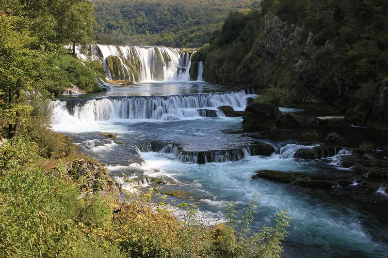
Štrbački buk (Una National Park)
At Štrbački buk the Una tumbles over several travertine steps on the border with Croatia. The 24.5-metre waterfall is one of the main features of Una National Park and a starting point for rafting trips on the Una.
1 place to stay View
Sight
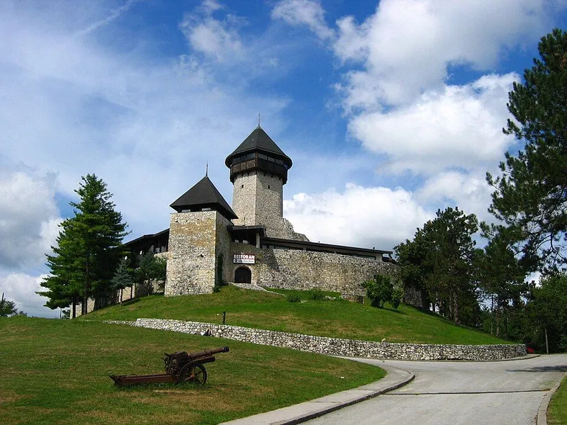
Velika Kladuša Castle
Velika Kladuša Castle, also called Stari grad, stands on a hill above the right bank of the Grabarska, a tributary of the Kladušnica. The town lies in the far north-west of Bosnia on the border with Croatia, and for centuries its castle was an outpost on that frontier.
View
West Herzegovina Canton
Go to the region page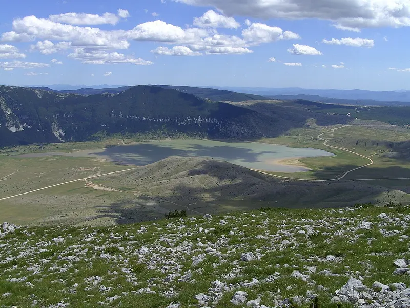
Hiking
Blidinje Nature Park
Blidinje Nature Park lies in the central Dinarides and takes in the Čvrsnica and Vran massifs with the Dugo polje depression between them. The area was declared a nature park on 30 March 1995 and takes its name from the shallow Blidinje Lake.
3 places to stay View
Sight
Franciscan friary of Široki Brijeg
The Franciscan friary and its Church of the Assumption gave the town of Široki Brijeg its name and are its emblem. Founded in 1846, it was the first Franciscan friary built in Herzegovina after the Ottomans destroyed all the monasteries there in the 16th century. Today it is the religious centre of western Herzegovina.
7 places to stay View
Sight
Franciscan Museum Humac
The museum in the Franciscan friary of St Anthony of Padua in Humac near Ljubuški was founded in 1884 and is regarded as the oldest museum in Bosnia and Herzegovina. It displays archaeological finds from the wider Herzegovina region covering a span of almost 16,000 years, from the Old Stone Age to the late Middle Ages.
5 places to stay View
Swimming
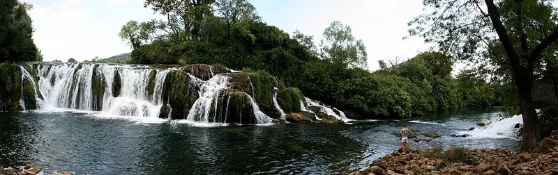
Koćuša waterfall
Koćuša is a wide, low waterfall by the village of Veljaci in the Ljubuški area. The water drops only about 5 metres but across a width of some 50 metres, and in summer people swim here.
5 places to stay View
Swimming
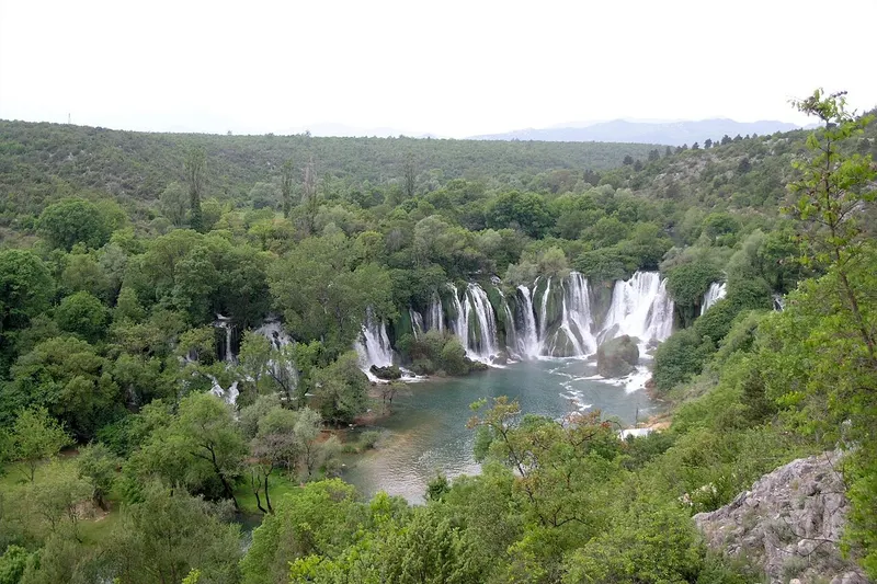
Kravica waterfalls
Near Ljubuški the Trebižat river tumbles over a semicircular rim of tufa and forms a wide pool below. Kravica is a favourite day-trip destination in Herzegovina, and in summer people swim in the pool beneath the falls.
5 places to stay View
Nature
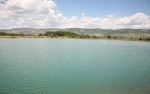
Lake Krenica
Lake Krenica lies near the village of Drinovci in the municipality of Grude, in Imotsko-bekijsko polje, a karst field straddling the border between Bosnia and Herzegovina and Croatia. How deep it is has still not been firmly established, and a legend about its origins links it to the lakes of Imotski.
6 places to stay View
Nature
Lake Tribistovo
Lake Tribistovo (Tribistovo jezero) is a reservoir in the north of West Herzegovina Canton, created in 1989 about 7 kilometres north-east of Posušje. It stores drinking water for the town and the surrounding villages and lies on the road that runs from Posušje via Rakitno towards Blidinje.
1 place to stay View
Sight
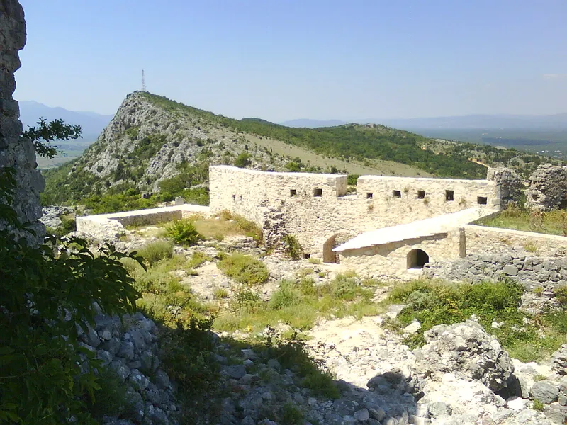
Ljubuški
Ljubuški lies in the west of Herzegovina, on the left bank of the Trebižat and close to the Croatian border. Herceg Stjepan fortress stands on Buturovica hill above the town, and in neighbouring Humac the Franciscan monastery museum displays finds from many millennia along with the Humačka ploča.
5 places to stay View
Sight
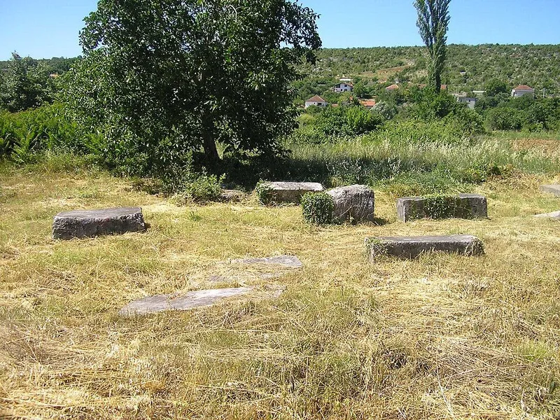
Mramorje (Studenci) necropolis
The Mramorje necropolis lies in the village of Gornji Studenci, about 5 km as the crow flies southeast of Ljubuški, right next to today's Catholic cemetery of St John. It has 74 late medieval stećci, a striking number of them marked with a cross, and has been a national monument of Bosnia and Herzegovina since 2008.
5 places to stay View
Nature
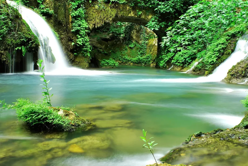
Peć Mlini: Tihaljina spring and Ravlića cave
Peć Mlini is a hamlet of Drinovci in the municipality of Grude. Here the Tihaljina emerges from a cave below the reddish limestone cliffs of Cvitanjske stine, some 150 metres high. High above the spring lies Ravlića cave, an important prehistoric site.
6 places to stay View
Zenica-Doboj Canton
Go to the region page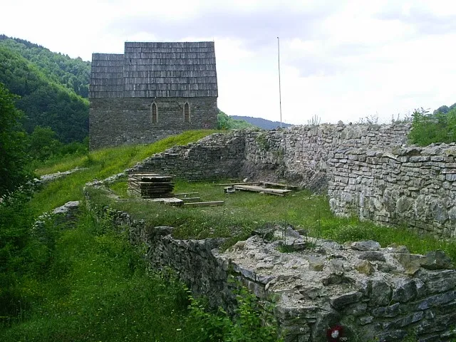
Sight
Bobovac royal fortress
The ruins of Bobovac royal fortress lie southwest of Vareš on a steep, stepped rock above the point where the Mijakovska rijeka joins the Bukovica, on the boundary between the Vareš and Kakanj municipalities. In the 14th and 15th centuries the fortress was the seat of the Bosnian rulers and the place where the royal crown was kept.
5 places to stay View
Sight
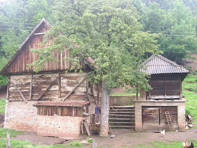
Breza
Breza is a small town in the Stavnja valley, about 25 kilometres north of Sarajevo, shaped by mining since its coal mine opened in 1907. Its history goes back much further: a centre of the Illyrian Daesitiates lay here, and on the Crkvina site stand the remains of a late antique basilica, on one of whose columns a Germanic runic alphabet was found.
6 places to stay View
Sight
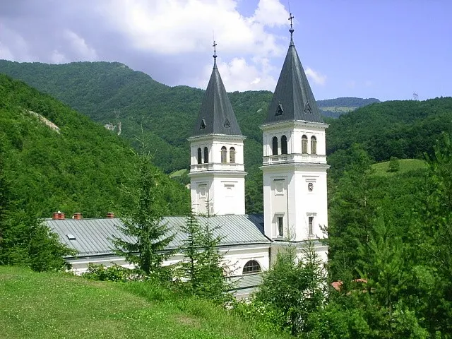
Kraljeva Sutjeska
Kraljeva Sutjeska lies 12 km northeast of Kakanj, in a basin of the Trstionica stream at the foot of Zvijezda mountain. In the Middle Ages the Bosnian bans and kings kept a court here; today the village is defined by its Franciscan friary and the Church of St John the Baptist.
6 places to stay View
Sight
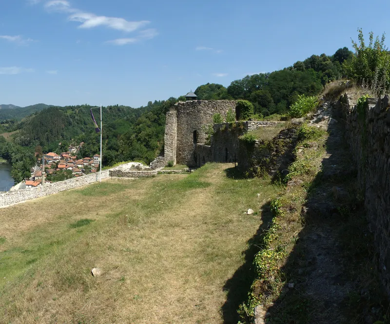
Maglaj Fortress
Maglaj Fortress stands on a crag of igneous rock that drops steeply to the right bank of the Bosna; a small hollow separates it from the last foothills of the Ozren. The fortress, dating from the medieval and Ottoman periods, has been a national monument of Bosnia and Herzegovina since 2005.
1 place to stay View
Sight
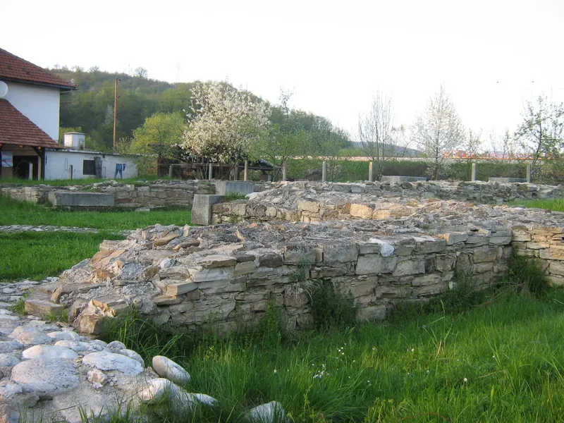
Mile (Arnautovići)
In Arnautovići near Visoko lie the foundations of the medieval church of Mile, regarded as the coronation and burial church of the Bosnian kings. King Tvrtko I was buried here, and Bosnian state assemblies met here; the site has been a national monument since 2003.
6 places to stay View
Nature
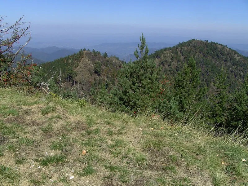
Ponijeri and Tajan Natural Monument
Ponijeri is a mountain excursion area about 20 kilometres from the centre of Kakanj and forms part of the Tajan Natural Monument. The monument has been protected since 2008 and covers about 4,950 hectares of forest and karst with gorges, caves, sinkholes and waterfalls.
4 places to stay View
Hiking
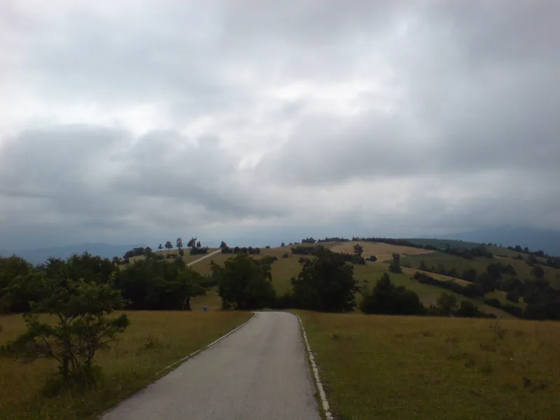
Smetovi
Smetovi is a mountain in the municipality of Zenica, about eight kilometres from the centre; its highest summit reaches 1,025 metres. For the people of Zenica it is a recreation area with walking, cycling and hiking trails and a Partisan memorial from 1968.
1 place to stay View
Sight
Sultan Ahmed Mosque (Zenica)
The Sultan Ahmed Mosque, popularly known as the Čaršijska džamija, stands in the centre of Zenica on Ulica Muhameda Seida Serdarevića. Together with the madrasa opposite, it has been a national monument of Bosnia and Herzegovina since 2007.
2 places to stay View
Sight
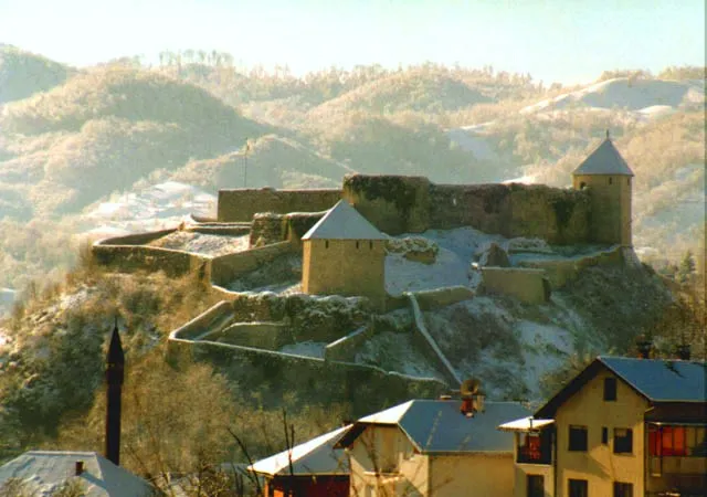
Tešanj Fortress
Tešanj Fortress stands on a steep, rocky hill in the middle of the town, which lies on the small river Tešanjka, a right-bank tributary of the Usora. Since 2003 the fortress has been a national monument of Bosnia and Herzegovina as an architectural ensemble.
1 place to stay View
Sight
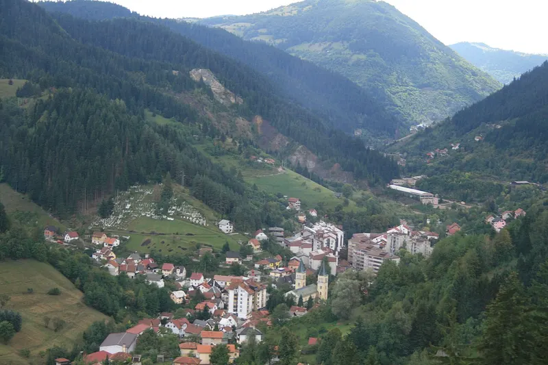
Vareš
Vareš is a small mountain town in central Bosnia, set at 829 metres in the narrow valley of the Stavnja, about 45 kilometres from Sarajevo. Since ancient times its people have lived from mining and working iron ore, from timber, farming and trade.
5 places to stay View
Sight
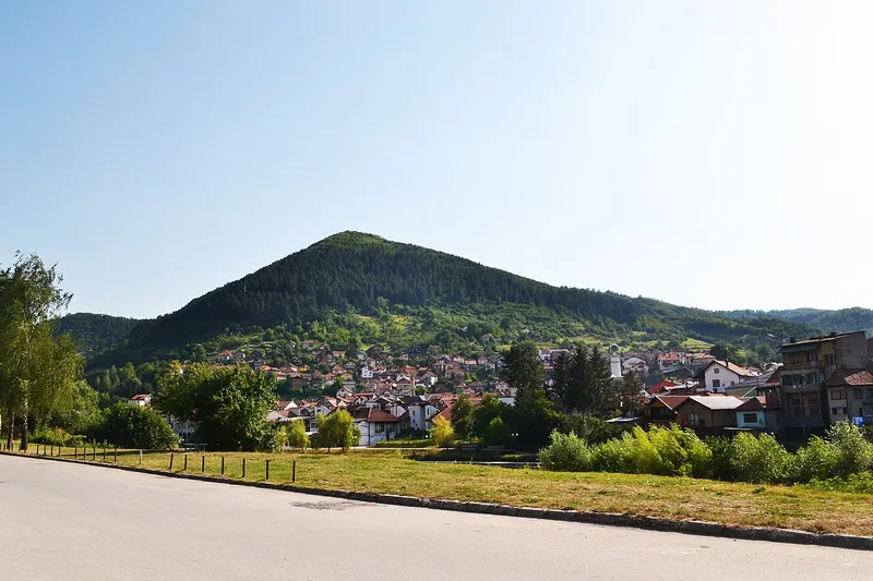
Visoko and the “pyramids”
Visoko lies between Sarajevo and Zenica, where the Fojnica river joins the Bosna. Since 2005 the town has been known for the claim that the surrounding hills are pyramids; geologists and archaeologists have shown that they are natural formations. What is documented is a different story: Visoko was an early centre of medieval Bosnia.
7 places to stay View
Sight
Vozuća Monastery
Off the road from Žepče to Banovići, near Vozuća in the municipality of Zavidovići, stands the Serbian Orthodox monastery with its Church of the Holy Trinity. It probably dates from the 16th century. Since 2004 the ensemble of church, spring, cemetery and the sites of the old cottages and school has been a national monument of Bosnia and Herzegovina.
3 places to stay View
Sight
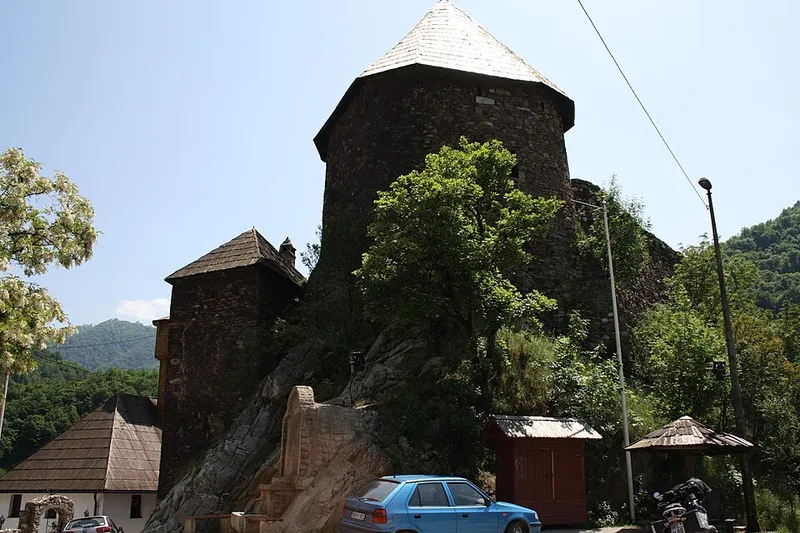
Vranduk Fortress
About 10 kilometres downstream of Zenica, the Bosna squeezes through a narrow gorge. High above its left bank stands the medieval fortress of Vranduk, with the village of the same name around it. Together, fortress and village form a national monument of Bosnia and Herzegovina.
1 place to stay View
Nature
Zvijezda mountains
Zvijezda is a wooded upland in central Bosnia between Vareš and Olovo. Its main summit, which gave the range its name, reaches 1,349 metres. Since 1 April 2025 it has been home to a protected area with sustainable use of natural resources.
5 places to stay View