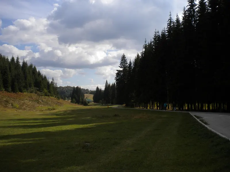
Setting and landscape
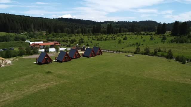
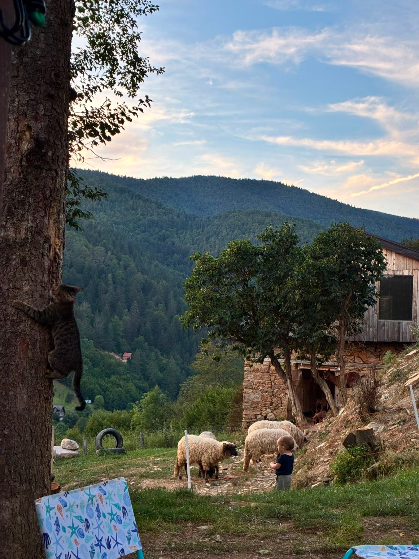
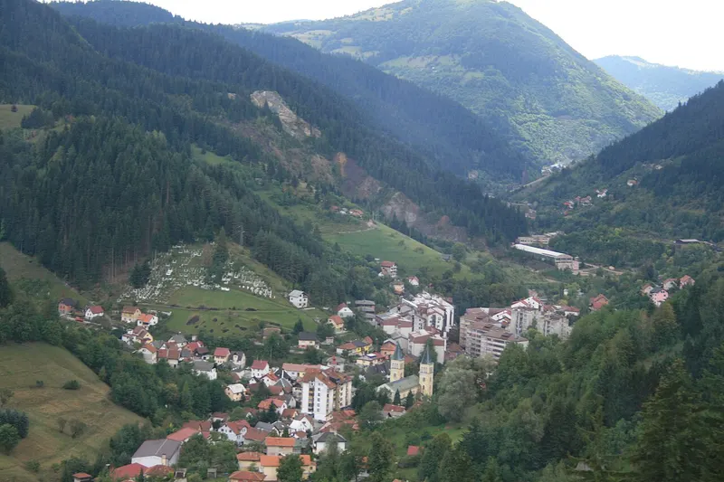
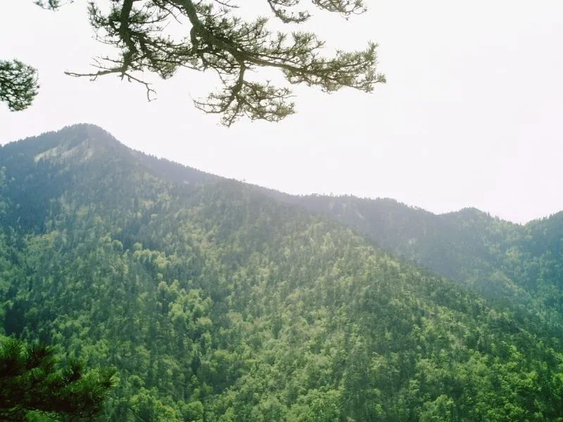
The area belongs to the municipality of Ilijaš and lies between the villages of Nišići and Krivajevići. Rolling mountain meadows stretch to the west and north, while large, dense and mostly coniferous forests cover the south and east, and in several places rocky limestone ridges rise up. As karst terrain, Bijambare is rich in sinkholes, dolines and caves.
On 25 September 2003 the Assembly of Sarajevo Canton passed the law declaring Bijambare a protected landscape. It falls under protection category V, covers 497 hectares and is divided into three zones: the first, of 137 hectares, encloses the caves, the second covers 308 and the third 52 hectares.
The Middle Bijambare Cave
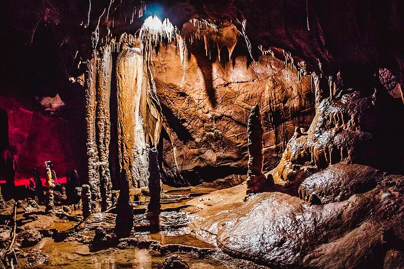
Of the eight caves, only the Srednja (Glavna) bijambarska pećina, the Middle or Main Bijambare Cave, has been developed, lit and opened to visitors. It consists of four halls linked by a 400-metre path with electric lighting, and it is visited with cave guides. The fourth hall is called the “concert hall” because of its acoustics. Lesser and greater horseshoe bats hibernate here, mostly using this warmer part of the cave.
The cave is known for its formations: stalactites, stalagmites, flowstone curtains and rimstone pools, created as water flowed over deposits of calcium carbonate and clay. A stalactite needs 100 to 150 years to grow 1 centimetre. A project funded by the European Commission renewed the paths, lighting and an information building, and the cave was opened to visitors in the summer of 2007.
The Upper Cave and the other caves
The caves of Bijambare also include the Upper and Lower Bijambare caves (Gornja and Donja bijambarska pećina), Đuričina pećina, Ledenjača, Dimšina pećina, Ledenica and Nova pećina. The Upper Cave is not large, but it is an important archaeological site. Its entrance is 16 metres wide and 12 metres high and faces south-west. In 1967 the Croatian palaeontologist M. Malez carried out research here. Finds include Stone Age tools and weapons, now kept in the National Museum in Sarajevo, and bones of animals such as cave bear, ibex and chamois. They show that people of the Epigravettian culture used the cave during the last Ice Age. A prepared path leads to the Upper Cave, which is freely accessible.
In Đuričina pećina snow collects in winter after falling through an opening in the roof. Trees and rock walls shield it from the sun, so ice and snow last into late spring and sometimes all year.
Plants, water and trails
The protected area has 133 plant communities with more than 800 species of higher plants, many of them medicinal, aromatic or edible, as well as plants valued by bees. The Bjelila stream runs through forests and clearings and disappears into sinkholes; there are also springs such as Banjevac, Studenac and Junakovac.
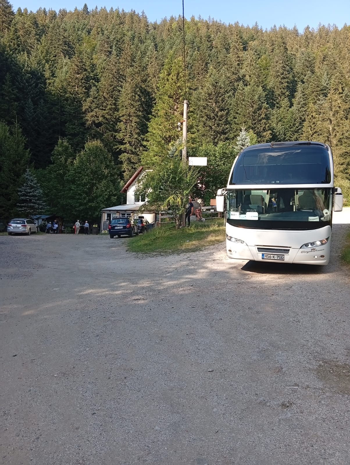
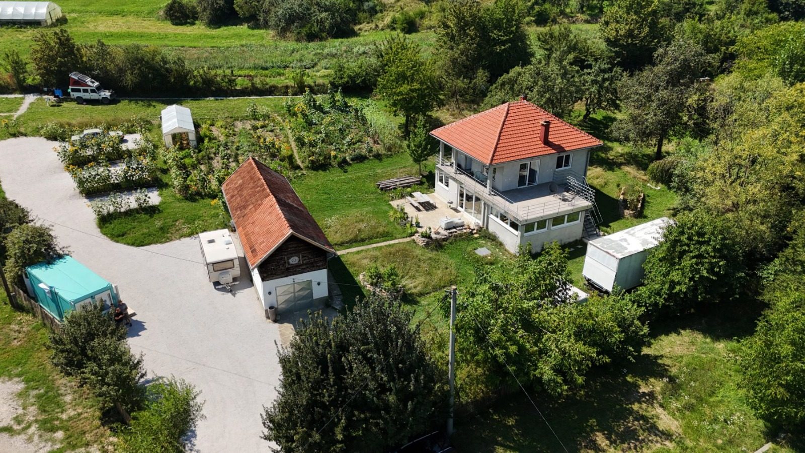
Walking and cycling trails cross the area, along with a 1.5-kilometre educational trail and a 2-kilometre forest path. A tourist train runs from the entrance to the core zone. The education and information centre was once the mountain hut of the Zvijezda mountaineering club from Ilijaš, built in 1971 and rebuilt in 2013. For children there is the “Drveni grad” playground. Medieval tombstones, known as stećci, have also been brought here from the necropolis at Čevljanovići.