Peaks, karst and ore
Zvijezda is a karst plateau on the watershed between the Bosna and its tributary, the Krivaja. East of the main summit rise further peaks such as Bijeli kamen (1,325 m), Tremošnjak (1,320 m), Jelovo brdo (1,318 m) and Pogladin (1,246 m). Numerous dolines, funnel-shaped, round or elongated hollows, have formed where limestone and dolomite were dissolved.
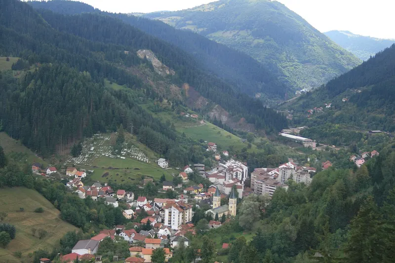
Geologically the area belongs to the so-called ophiolite zone: serpentinite, gabbro and diabase alternate here with limestone. The range is rich in ores, including iron, zinc, manganese and lead, and there is also coal. The Stavnja, a tributary of the Bosna, rises on Zvijezda; the town of Vareš lies in its valley.
Forests and bogs
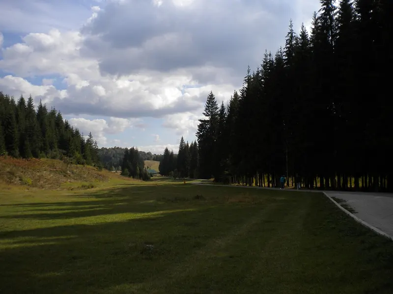
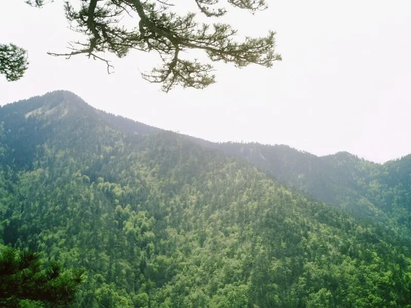
Zvijezda is covered in forest, mostly conifers. Spruce forests of the hill and montane belts dominate, along with beech woods and mixed forests of spruce, beech and fir. The peat bogs are of particular biological value; they are mostly tied to forested areas and have been recorded at Šimin Potok, Krčevačka Bara, Karina Bara and Gavrino Brdo. The flora shows features of a relict flora from the Tertiary. Many medicinal plants and fungi grow in the forests and meadows.
Seven species of bat have been recorded in Ponikva Cave. These finds are regarded as an indication of the area's high biodiversity.
Forges, church and stećci
The village of Oćevija has three traditional forges. Known locally as majdani, they are named after the families who own them: Jozeljić, Gogić and Vijačkić. In 2011 the Commission to Preserve National Monuments declared them a national monument. For centuries the Oćevija river has driven their heavy hammers. The key tool is a large wedge-shaped hammer of about 50 kilograms mounted on a wooden lever, and the bellows that fan the embers are water-powered too. The equipment has been preserved in its original form. Products include horseshoes, axes, pans, shovels, hoes and baking bells (peka and sač).
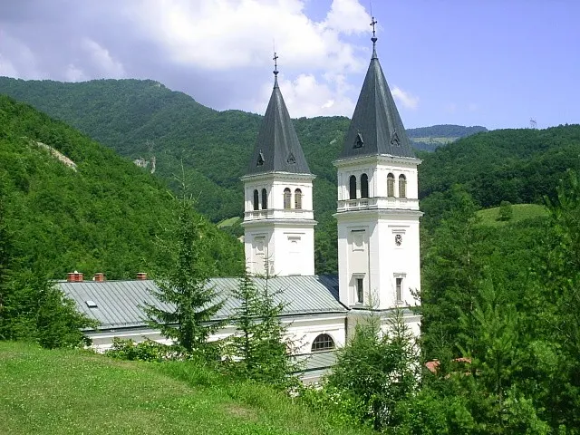
The Catholic Church of the Assumption stands in the village of Vijaka. The parish of Vijaka is first mentioned in writing in 1637, and the present church was completed in 1929 after three years of construction. An ethnological museum with objects from the lives of the people of the area opened in Gornja Vijaka in 2006. Two sites with stećci, medieval tombstones, also lie inside the protected area: Vidak and Studenac.
The protected area
The protected area covers about 7,090 hectares, lies almost entirely in the municipality of Vareš and belongs to Category VI. Its natural boundaries are the Nišići plateau to the south, Konjuh to the north, the Bioštica river to the east and the wider valley of the Bosna to the west. Villages within it include Gornja Vijaka, Gornja Oćevija, Javornik, Ponikva, Šimin Potok and Osoje.
Its aim is to preserve ecosystems and habitats together with the cultural values linked to them and the traditional use of natural resources. To this end the area is divided into four zones. The strict protection zone (Zone A) covers 1,116.79 hectares and safeguards, among other things, important water supply services and significant habitats. The area is managed by the cantonal forestry company based in Zavidovići.
Getting around Zvijezda
The main road between Tuzla and Sarajevo runs along the south-eastern foot of the range. A regional road leads from Vareš over Zvijezda into the Krivaja valley and passes through Ponikva Cave, whose main passage serves as a tunnel. The cave also has two smaller, active passages: the Ponikva stream flows into one of them, and water comes out of the other at high water. A gravel road leads to Oćevija through the Krivaja gorge and then along the Oćevijica river.