Coal town on the Stavnja
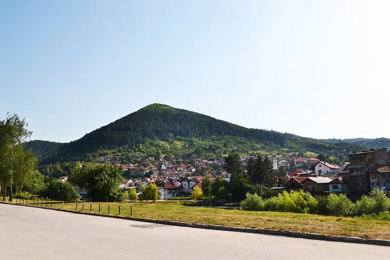
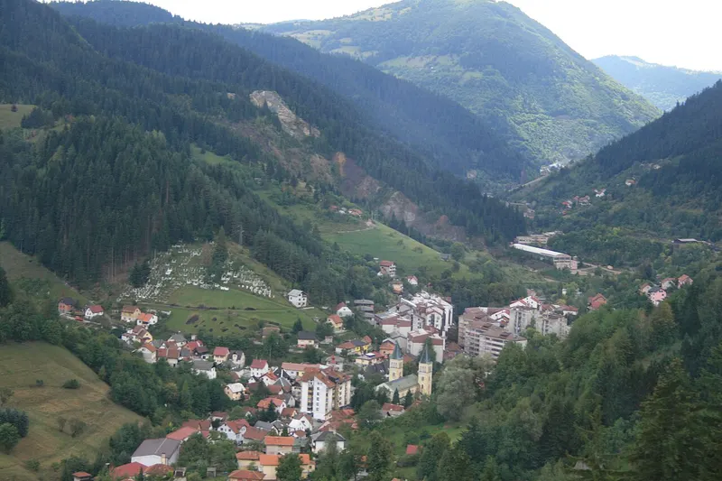
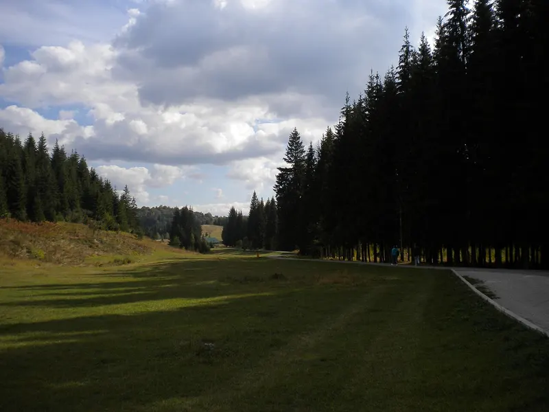
The municipality of Breza belongs to Zenica-Doboj Canton, covers 72 square kilometres and borders Ilijaš, Vareš and Visoko. The terrain is hilly to mountainous and ranges from 450 to 1100 metres, with the course of the Stavnja forming the valley floor. The brown coal mine opened in 1907, turning the small settlement into a mining centre. According to the municipality’s development strategy, coal is its main natural resource. Mining history here includes Alija Sirotanović, who came to the pit in 1941 and became known throughout Yugoslavia, but also grave accidents: on 14 March 1970, 50 miners died in the Sretno pit, and on 5 August 1976 another 17.
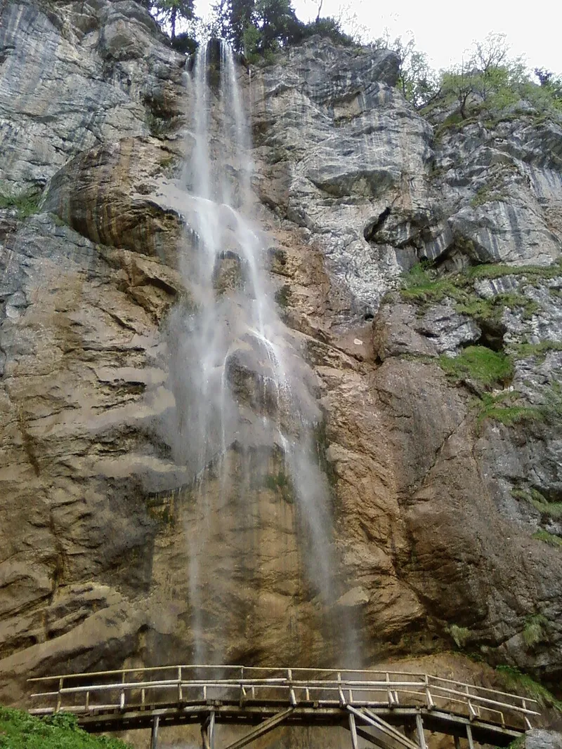
About 3 kilometres upstream of the town, thermal water emerges in the Stavnja valley from cracks in tufa, at around 20 degrees. The strategy sees potential in it for healing water and fish farming.
The Daesitiates and Hedum castellum
In pre-Roman and Roman times the area belonged to the territory of the Daesitiates, an Illyrian tribe that inhabited the upper Bosna valley as far as the Vrbas and Rogatica. They were organised into 103 decuriae and rose against Rome in AD 6. In the 3rd and 2nd centuries BC they also began to build settlements on the plains along rivers, one of them at Breza, where a Daesitiate necropolis was discovered. One of their more important centres grew up here, probably the Hedum castellum named in written sources. Researchers place the fort near Breza or between Breza and Kiseljak; it stood on a Roman road leading from Salona through central Bosnia to the Drina region, whose section up to the fort was finished in the year 19/20.
During the excavation of the basilica in 1930, a Roman inscription for Ulpia Procula came to light, reused as building material. It names Valens, son of Varro, a leading man of the Daesitiates, and a fort of the Daesitiates.
The basilica at Crkvina
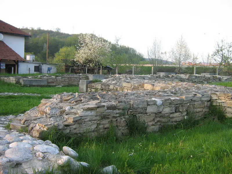
Two late antique churches have been found in Breza: one on the left bank of the Stavnja at Srđ, over whose ruins a cemetery of the 10th to 12th centuries and a stećak necropolis later developed, and one on the right bank at Crkvina, now in a residential area near the centre. The Crkvina basilica is broadly dated to the 6th century, between 536 and 614, when the region belonged to the Eastern Roman Empire. The building measures 31.5 by 19 metres, was surrounded by porticoes on three sides and ended in a semicircular apse; its north–south orientation, with the apse facing south, is unusual.
The stone decoration stands out: the columns were turned on a lathe and decorated with rings of shallow grooves, capitals of smaller columns show a cross in a mandorla, and stylised boars’ heads lay by the apse. One column bears the Latin alphabet, another an almost complete Elder Futhark of 24 characters, between 0.5 and 2.6 centimetres high; the shape of the h-rune points to a West Germanic origin. The basilica was destroyed by fire, probably in the course of a war. Shards of early Slavic pottery from the 7th century show that its walls stood for some time afterwards. The site has been a national monument since 2004.
Excavations and other monuments
The first excavation was led in 1930 and 1931 by Gregor Čremošnik, curator of the National Museum in Sarajevo; the movable finds went to that museum and are kept there. Conservation and restoration followed from 1961 to 1968: the walls were raised and parts of the colonnade rebuilt. The protection decision provides for the site to remain accessible to the public. Further national monuments in the municipality are the mosque in Podgora and several stećak necropolises, including those in Hočevlje, Slivno and Lopate.