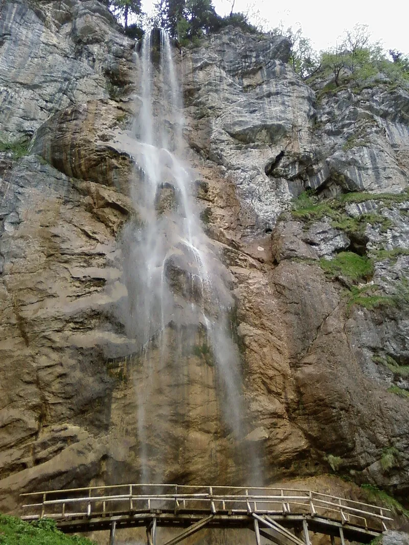
The waterfall
The Skakavac stream has cut into limestone and dolomite, overlain by younger flysch. It does not carry much water, and in winter ice covers the cascade in changing shapes. Tufa along the stream bed shows that much more water flowed here in the geological past.
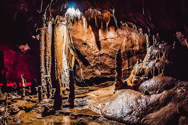
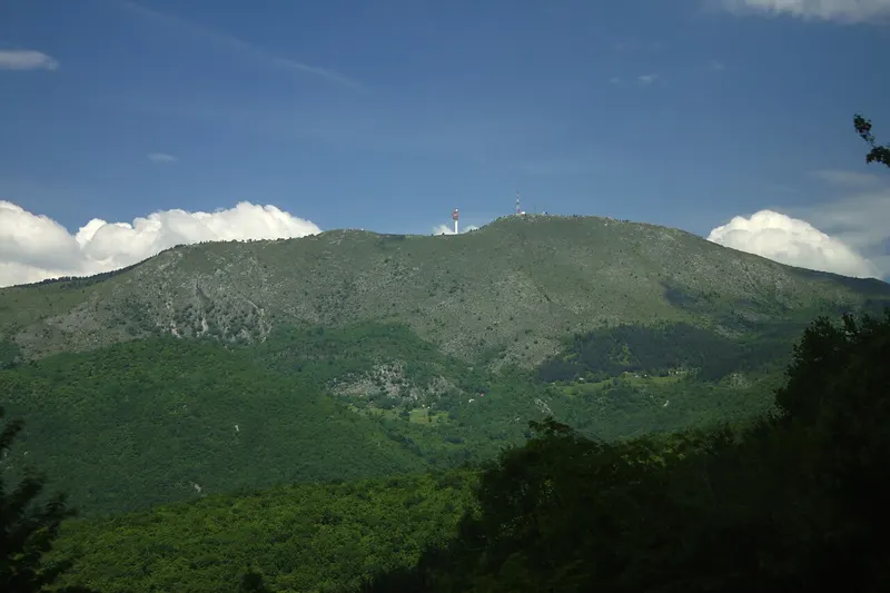
The Skakavac runs below the 1,532-metre Bukovik into Perački potok, the backbone of the whole area. Downstream of the village of Perca it becomes the Vogošća river. All around are numerous springs, rocks, caves, gorges and karst features, such as Crvene stijene, Uževica and the Sušica gorge.
Plants and wildlife
Some 1,500 higher plants have been recorded in the area, including around 100 species with a Dinaric, 120 with a Balkan and 40 with a wider south-eastern range. Spruce-fir and beech-fir forests dominate; near the waterfall, on shallow limestone soils, grow warmth-loving woods and thickets of hop hornbeam, autumn moor grass and manna ash. The rocks around the falls hold many endemic and relict species, such as Edraianthus jugoslavicus, Dianthus kitaibelii and Daphne alpina.
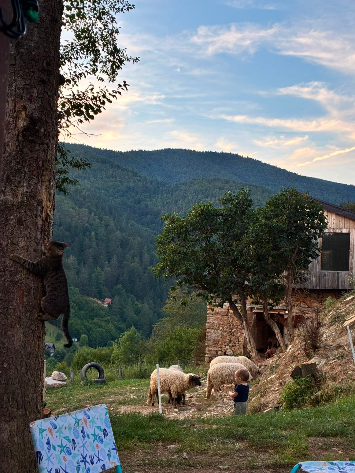
There is also rich forage for bees, several hundred medicinal and aromatic plants, such as willow gentian, and many kinds of fungi. Game includes roe deer, wild boar, bear, hare, hazel grouse, wolf, fox, wildcat, badger and marten, along with numerous birds, some of them considered endangered.
The natural monument
The protected area lies in the north of Sarajevo Canton and takes in the southern slopes of Ozren and the summit and northern slopes of Bukovik. The decision to declare the wider surroundings of the waterfall a natural monument was taken in 2002, followed by a law in 2010. There are three protection zones, and under IUCN criteria the area falls into Category III. It is managed by the cantonal public institution for protected natural areas. In 2026 Skakavac received the Green Destinations Bronze Award.
The rules differ from zone to zone: hunting and fishing are banned throughout, and open fires are also banned in the two inner zones, where only landowners may gather medicinal plants, mushrooms and forest fruits.
Traces of the past
There are no listed cultural monuments within the boundaries. A protection study does, however, mention two Orthodox cemeteries, an old Muslim cemetery and, at several spots, stećci, the medieval tombstones of the region. At the end of 2008 a significant site with stećci from the 13th and 14th centuries was found at Babin potok.
Hiking in and around Sarajevo has a tradition of more than a century; as an organised activity it began in the Austro-Hungarian period. As early as 1913, a guidebook mentioned that the path to Skakavac was marked.
Getting there and hiking
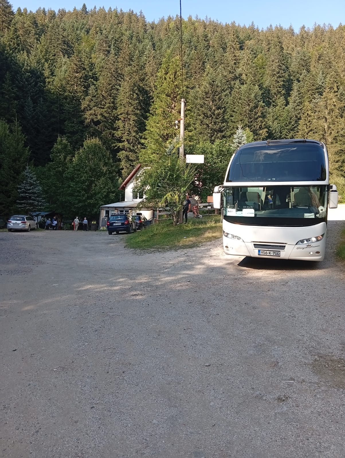
By car, head from the centre towards the Juan Antonio Samaranch (Zetra) hall and on to Nahorevo, as far as the barrier at the entrance to the area; from there it is about 1 km on foot to the waterfall. Parking is limited. A minibus runs from Sutjeska Street, by the Second Gymnasium, to Nahorevo; from the last stop it is about 4 km on foot to the edge of the protected area and another 4 km to the falls.
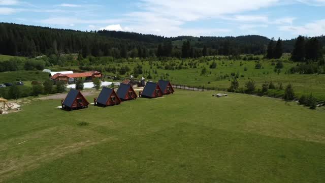
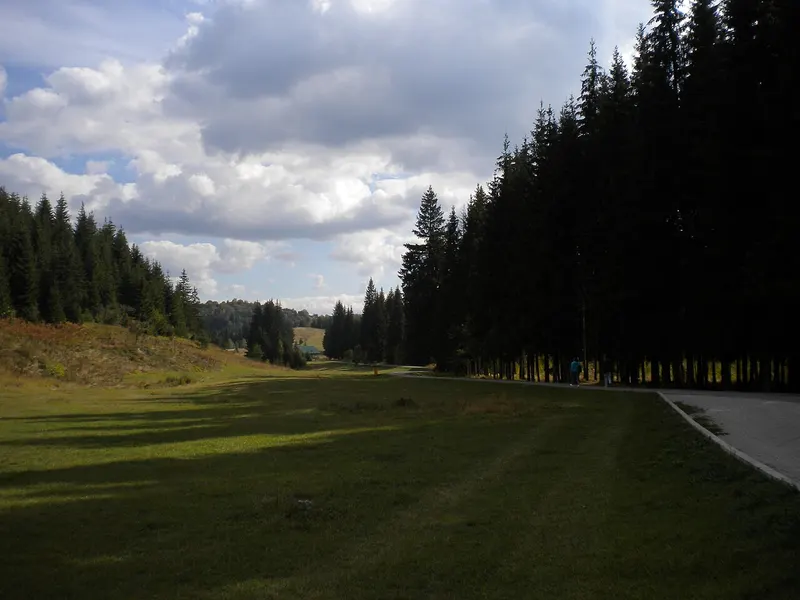
The area has benches and rest spots and is suited to hiking, mountain biking and other outdoor sports.