The lake
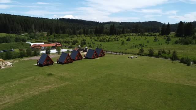
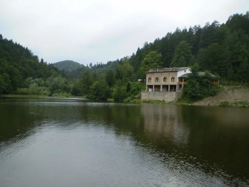
Depending on the source, the lake lies at about 650 or 711 metres, near the villages of Zagrađe and Brateljevići and just under 2 kilometres from Muška voda. It is natural in origin and formed in a small hollow fed by streams and springs. A small dam later raised the water level and kept it steadier.
Water flows through the lake: it is fed from the east, where small springs run almost all year, and its outflow ends up in the Gornja Drinjača. It is about 150 metres long, around 60 metres wide and mostly 3 to 4 metres deep.
Fish and fishing
Paučko Lake is known as a fishing water. Recorded species include carp, tench, pike, grass carp, chub, trout and Prussian carp. The presence of the river crayfish is taken as a sign of clean water. The fishing area is managed by the Drinjača sport fishing association from Kladanj, which supervises it and from time to time organises work to tidy and clean the shore. Visitors come for outings, recreational fishing, walks and short stays in nature.
Mount Konjuh
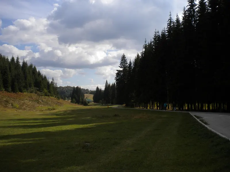
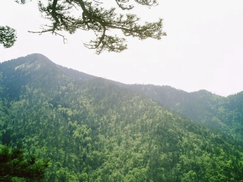
Konjuh lies in Tuzla Canton in north-eastern Bosnia and Herzegovina. To the south and west it is bounded by the Krivaja. Together with Ozren, Javor and Javornik it belongs to a chain of marginal mountains that, with Trebavac and Majevica, form the transition from the Dinaric mountains to the Pannonian Plain. Its average height is 1,000 metres, above which rise summits such as Vrh Konjuha at 1,328 metres.
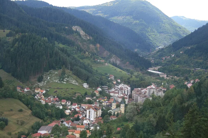
The law declaring the Konjuh protected landscape, which belongs to protection category Va (protected landscape), was passed on 9 November 2009. The mostly forested area covers just over 8,000 hectares in the municipalities of Banovići, Kladanj and Živinice in the south-west of the canton. Since an amendment in 2017 it has been divided into three protection zones. Built-up land accounts for only 0.4 per cent. The area drains north to the Oskova and south to the Drinjača.
Forests, plants and animals
Dense forests cover the massif, mainly conifers such as pine, fir and spruce, along with beech, maple and some oak. Thirty types of forest communities have developed in the protected area. Rare plants include the Bosnian lily, the Bosnian iris, the spring snowflake and the great yellow gentian.
Among the animals, the protected brown bear and the capercaillie stand out, a forest bird that has become scarce and lives only in original, undisturbed habitats. The waters are home to otters, the noble crayfish, native brown trout and the Balkan barbel.
Traces of history
Mount Konjuh has several necropolises of stećci, medieval tombstones; more than 500 are known in the municipality of Kladanj alone. There are also remains of a caravan route along which salt was carried from Tuzla, and several memorials from the People's Liberation War of the Second World War.