Pillars, chests and gabled stones
The tombstones are spread over the two sites of Ispod stijene and Pola stijene in the Brajinci area; a local road bounds the protected area to the north and south. How many there are depends on the count. According to the records of the Commission to Preserve National Monuments, 138 were visible, among them 77 pillars, 41 gabled stones, 15 chests and 4 slabs. The heritage institute of Republika Srpska recorded a total of 172 stones and fragments in 2012, including 74 pillars, and the scholar Šefik Bešlagić had listed 179 stećci here.
The pillars come in two basic forms: slabs set upright and chests set upright. Both widen towards the top and end in a gabled roof, a flat top or an arch, and the chest type also with a projecting arch. Only seven stones are decorated, two gabled stones and five pillars, with a crescent and sword, as well as a rosette and a hand. No inscriptions are known. How many stones really carry ornament can only be established once scrub and moss have been cleared.
Šekovići and the Drinjača country
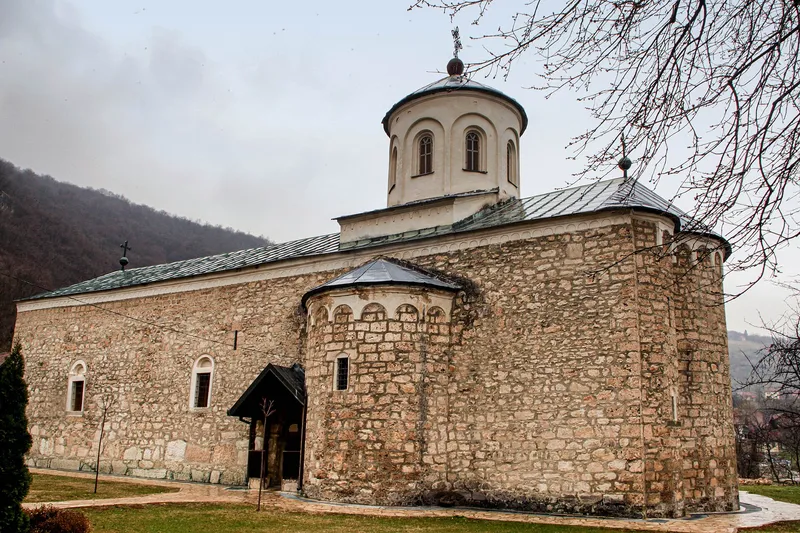
The Šekovići area has been settled since early times and lay on routes that linked the lands east of the Drina with central Bosnia as early as antiquity. Place names near Lomnica Monastery that refer, among other things, to a castle, a town or a church bear witness to this; in some places solid masonry still stands. These remains have not yet been excavated.
An important road linked the Drinjača valley via Vlasenica with central Bosnia, and many necropolises, some decorated with vines, reflect the busy life of the Middle Ages. Ottoman-era place names such as Varošište, Tabaci and Hanište point to a lively economy. Until the end of the 17th century the area was fairly densely populated; then military campaigns or epidemics almost wiped out the old inhabitants, and newcomers from Herzegovina now make up most of the population.
Protection and condition
In October 2010 the Commission to Preserve National Monuments declared the necropolis a national monument, and in 2016 it became one of 28 sites of the stećci World Heritage property. The inscribed area covers 0.39 hectares, the buffer zone 2.1 hectares.
The 2017 description calls the condition good. Some stones are nonetheless chipped, damaged, toppled or partly to wholly sunk into the ground, lichen and moss cover them, and some are so overgrown with thorns that they cannot be seen in full. In 2011 the site was surveyed and photographed stone by stone so that changes can be tracked.