Location and shape
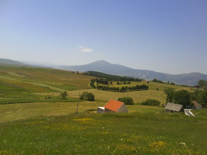
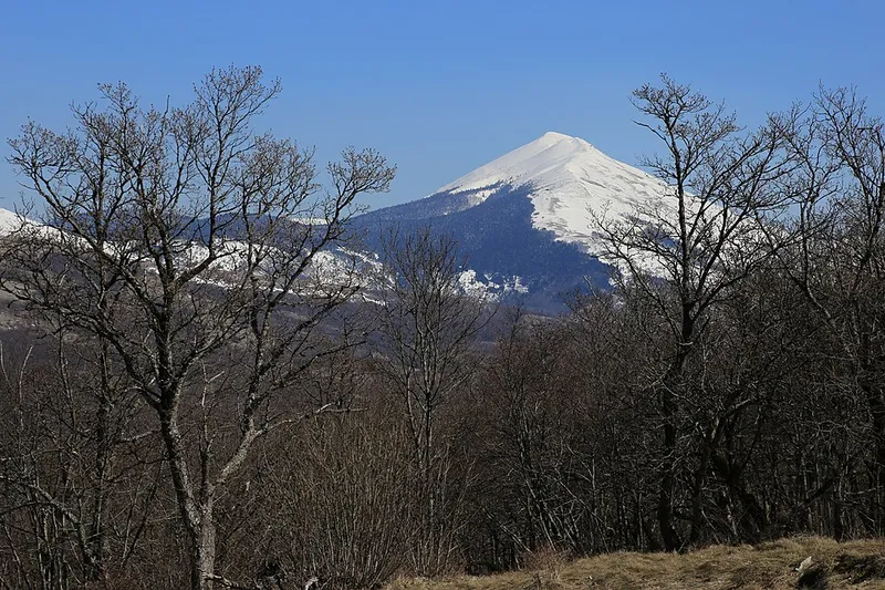
Cincar belongs to the Dinaric Alps in the west of Bosnia and Herzegovina. It lies north-east of Livno between the Kupreško and Glamočko polje, on the border of the municipalities of Glamoč and Livno. Besides the main summit, peaks such as Malovan (1826 m), Osječenica (1798 m) and Osin Glavica (1720 m) are scattered across a karst plateau, and about ten summits exceed 1700 metres.
Until the mid-20th century most documents called the mountain Cincer, while local Croats called it Ćinćer; the present name took hold after the Second World War. It is built mainly of limestone and dolomite, and on the northern slopes cirques and moraines bear witness to Ice Age glaciers. Below the south-western slopes stretches the Krug karst plateau, 1150 to 1350 metres high and dotted with sinkholes and other karst forms.
Climate and vegetation
Cincar separates the ranges with a sub-Mediterranean climate at their feet from the wetter, colder mountains of the interior. Snow usually lies from mid-October to mid-May, which draws skiers to the mountain. The bura wind can build into a storm and is one reason why there is hardly any forest on the south-western slopes.
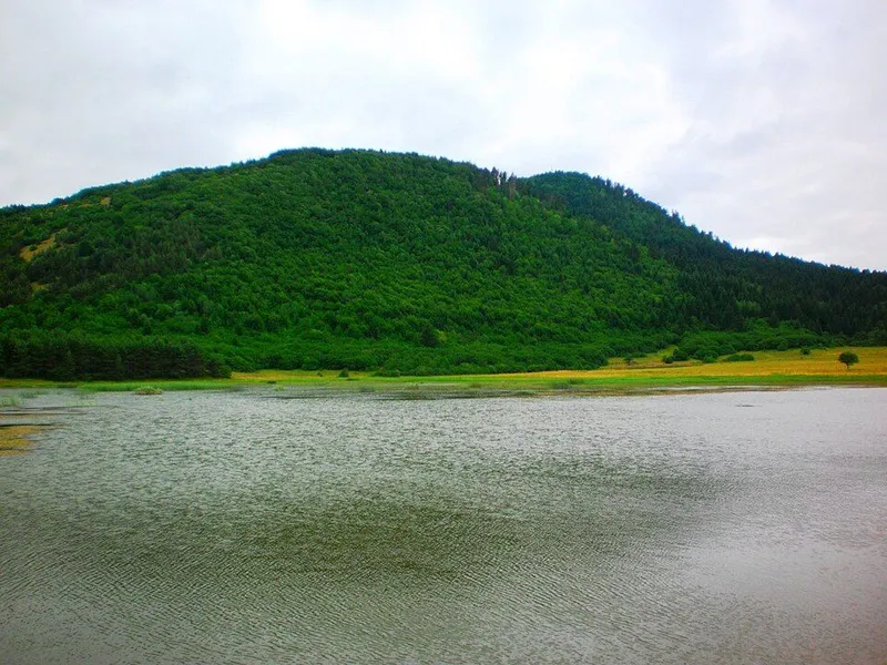
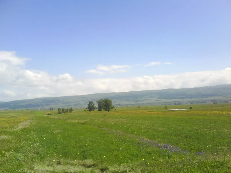
Mountain pastures cover the southern and south-western slopes, while dense, mostly coniferous forest grows on the north side. Higher up, crooked beech grows to about 1600 metres and mountain pine to about 1900 metres, and above that only grassland reaches the summits.
The horses of Kruzi
Free-roaming horses live on the plateau at the foot of Cincar. In a scientific sense they are not true wild horses but descendants of working horses that villagers around Livno released when tractors and machinery took over the field work. They have adapted to harsh winters and strong winds and live in seven herds. In 2013 there were 286 animals, and by 2019 there were 418.
The horses compete with livestock for scarce water. Along the main road the Borova Glava mountaineering and environmental society created two watering holes for them. The town of Livno placed the animals under protection but suspended it in 2017, when compensation claims from farmers and motorists increased. In winter the horses come down to the roads to lick the salt spread on them.
Hiking and practical notes
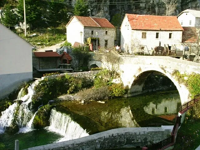
The starting point is Livno. A marked path passes the Duman spring and climbs below the cliffs through pine forest to the forester's house on Bašajkovac, then through oak forest onto the treeless Krug plateau and across it to Begovac. There is a spring here that never dries up, and the ruins of a former cattle farm. From there the path climbs steeply to the summit, which has a small concrete pillar. On clear days the view reaches as far as the island of Brač and the Adriatic.
The mountain is usually free of snow from June to October, but snow can fall at any time. In June everything is green and full of flowers, July and August are hot with hardly any shade, and in October the grass turns yellow and visibility is often clear. In remote mountain areas and in the countryside, unmarked landmines and unexploded ordnance still pose a risk in Bosnia and Herzegovina. Before a hike, check the current situation with the BHMAC mine action centre and stay on main roads and paved surfaces wherever possible. Anyone crossing the plateau by car should expect horses on the road all year round.