Kupreško polje and its mountains
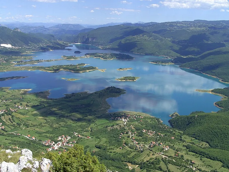
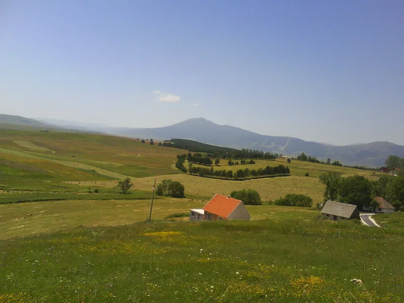
Kupreško polje is a large karst plateau east of Livanjsko polje and Glamočko polje and north of Duvanjsko polje. It runs from north-west to south-east and is 24 kilometres long, 10 kilometres wide and covers 93 square kilometres. The Kupres area also includes two much smaller plateaus, Vukovsko polje and Ravno, both at about 1135 metres.
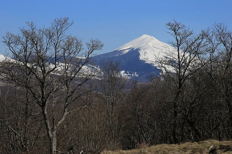
Mountains rise on all sides, among them Stožer at 1758 metres and, to the south, Malovan. The mountains to the north-east form a watershed: on one side the water flows to the Adriatic, on the other to the Black Sea. Locals say that Stožer has as many springs as the year has days.
Climate, winter and summer
The climate is harsh and mountainous, with an average annual temperature of 5.7 °C. Rain or snow falls on an average of 141 days a year, snow on 55 of them. Strong mountain winds make the cold severe, and snowdrifts are common.
In winter Kupres is a ski resort, with ski centres on Čajuša and Stožer for skiing and snowboarding. In summer the plateau is used for hiking and cycling, as well as paragliding and horse riding.
Traces of history
Despite the harsh climate, the plateau has been inhabited since prehistoric times, as forts and burial mounds show; a well-known find from an earthen mound at Pustopolje near Gornji Malovan is dated to around 1800 BC. Long stretches of Roman roads are preserved, such as the Solarski put between the Janja and Rama valleys.
Until 1326 the area was called Vrhovine; it then came to Bosnia under Stjepan II. The Venetian diplomat Katarin Zeno mentioned Kupres as the castle of “Cuprus” in 1550, and in the Ottoman period the town was fortified with three towers. Because it controls traffic between Dalmatia and central Bosnia, the plateau is of great strategic importance. In the war of the 1990s the town was badly damaged.
The stećci of Ravanjska vrata
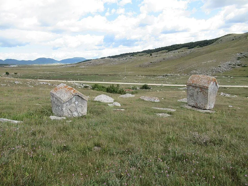
More than 40 necropolises with 1055 registered stećci are known on the high fields around Kupres, mostly along old Roman and medieval routes. The Ravanjska vrata necropolis lies in a passage about 100 metres wide between the Gradac and Gradina hills, linking Vukovsko polje with Ravanjsko polje; a gravel road runs right through it. It consists of a lower necropolis with 43 tombstones and an upper one with 25. The motifs include hunting and round-dance scenes, a hand holding a sword, rosettes, crescents and a deer.
Ravanjska vrata is a national monument and one of the stećci graveyards inscribed on the UNESCO World Heritage List in 2016. Its condition, however, is poor: many stones have sunk or toppled, and moss and lichen have made decorations unrecognisable.
Strljanica and Kukavičko Lake
Every July the mowing contest of the same name takes place on the Strljanica meadow. Grass is cut by hand with a scythe, and mowers are judged on time, effort and the amount mown, since mowing at this altitude takes strength and a special technique. Traditionally men aged 18 and over compete, while women rake the grass and serve food to guests. Folk costumes and scythe forging are part of the event too. In 2020 UNESCO added the custom to the Representative List of the Intangible Cultural Heritage.
South-east of the town, near the village of Kukavice, lies Kukavičko Lake, a small glacial lake with trout and crayfish. Legend has it that it was formed from the tears of a golden-haired fairy whose beloved knight vanished without a trace.