Setting and shape
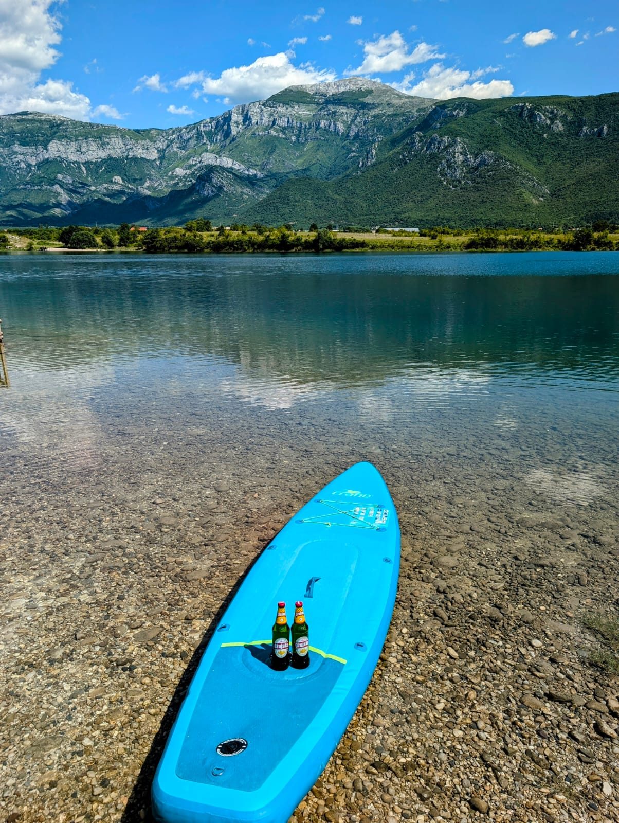
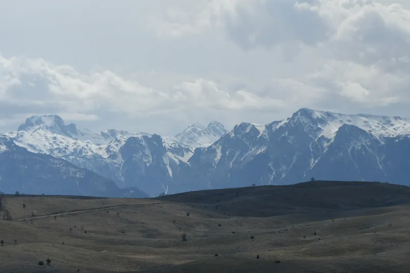
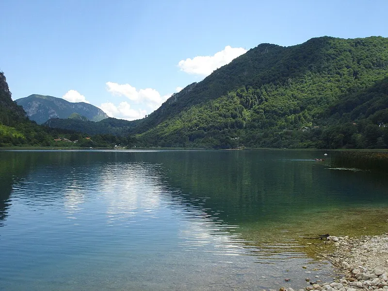
To the west rise the steep, wooded slopes of Crna gora; to the east, Tranjine reaches 1055 metres. Between them the lake fills the Boračka draga valley. It is elliptical, with a shoreline of 2.4 kilometres.
In August the water warms to about 25 °C, and in February it drops to 0 °C. Numerous springs rise beneath the surface, so the water is noticeably colder in places.
How the lake was formed
Boračko Lake is often called a glacial lake, and some accounts attribute its basin to glacial erosion in the Boračka draga valley. Among specialists, however, its origin is disputed. As early as 1897 the geographer Cvijić described the lake as a basin on a fault line, dammed by two lateral alluvial fans in the Borački potok valley.
In 2003 the Faculty of Science in Sarajevo produced an ecological study of the lake. It concludes that later sediment build-up in the valley's longitudinal profile dammed the lake and rules out a glacial origin, describing the lake as a post-glacial Holocene formation.
Inflow, outflow and the Šištica
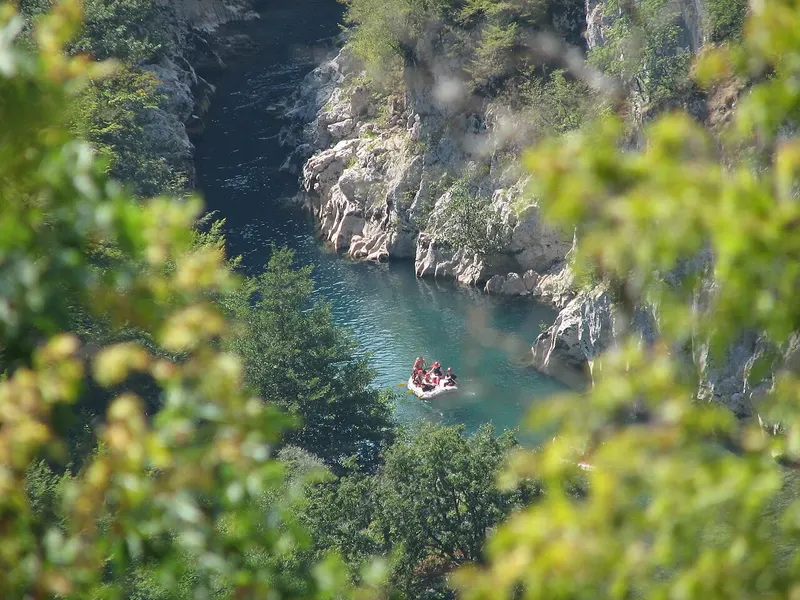
The lake is fed mainly by the Borački potok stream and by many springs along the shore and on the bottom. Its outflow, the Šištica, runs through a gorge and then drops over a waterfall into the Neretva, on a stretch known as Mali kanjon. The waterfall does not flow all year round; it is regarded as a geomorphological rarity.
With water constantly flowing in and out, the lake has a gentle current, which is unusual for standing water.
History around the lake
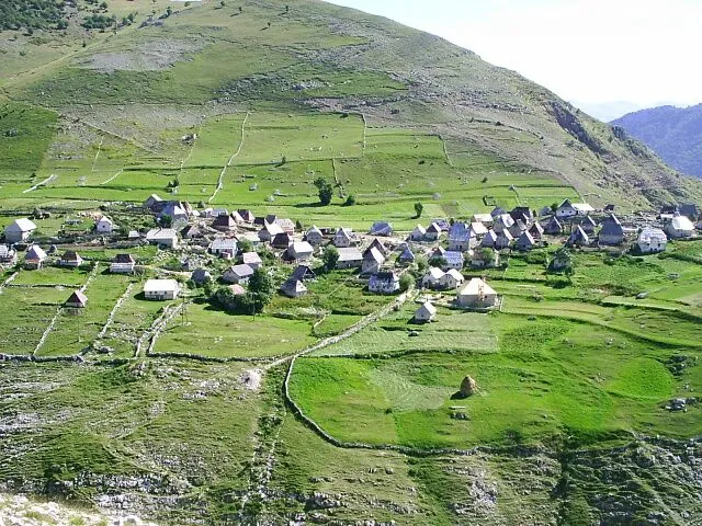
In Roman times a road led from Konjic through the Bijela valley, over the Vrabač saddle and the Borci plateau, past the lake and on across the slopes of Prenj towards Herzegovina and the sea. Later the Ottoman “Mostarska džada” route, lined with inns, passed through here. It was the main caravan route until 1868, when the Sarajevo–Mostar road through the Neretva valley was built.
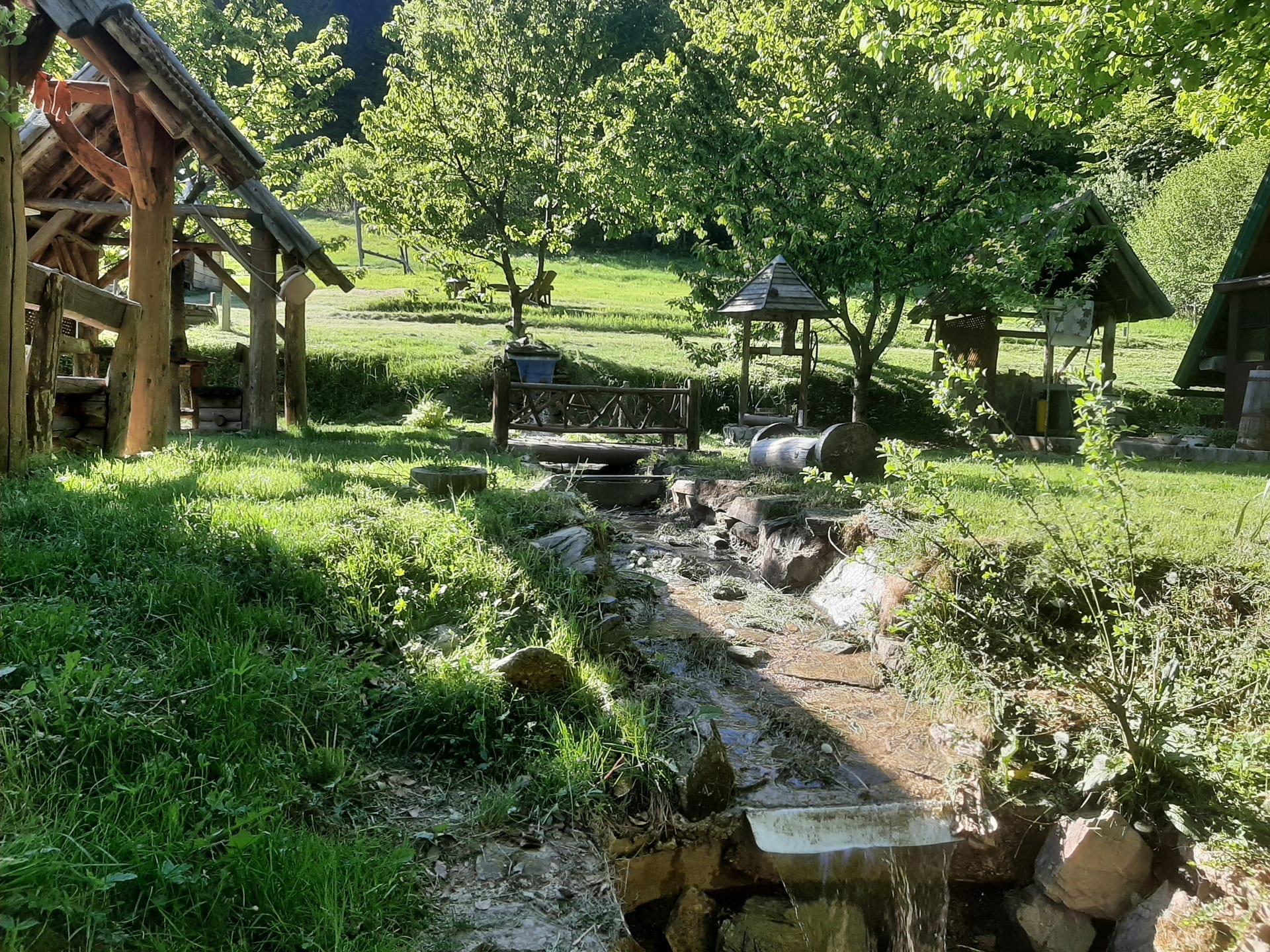
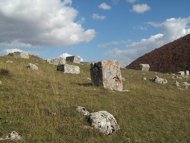
In 1902 Baron Benko had a villa built at Borci overlooking the lake. In 1910 the family of the poet Aleksa Šantić bought it, and it is still called Šantića vila. It was the last home of the painter Lazar Drljača; his grave lies right next to the villa, with a headstone shaped like a stećak. In 1934 the Sarajevo society “Prijatelj prirode” built the first recreational lodge on the shore. During the Second World War its members hid German anti-fascists there, who in gratitude built a spring well, the “Vrelo slobode”, still found on the main beach today. A road from Konjic to the lake was only completed in 1949.
A sensitive lake
In 1892 J. Karlinski surveyed the lake with 75 depth soundings and drew the first bathymetric map, recording a depth of 17.1 metres. At the last systematic measurement in 1980 it was only 13.8 metres. The delta of the Borački potok grew into the lake with dolomite sand, and eutrophication and silting are reducing its area and volume. Increasing human impact speeds up this process. The lake was placed under protection decades ago.
Among the species living in the water are carp, brown trout and lake trout as well as river crayfish, which also draws anglers.