The mountain
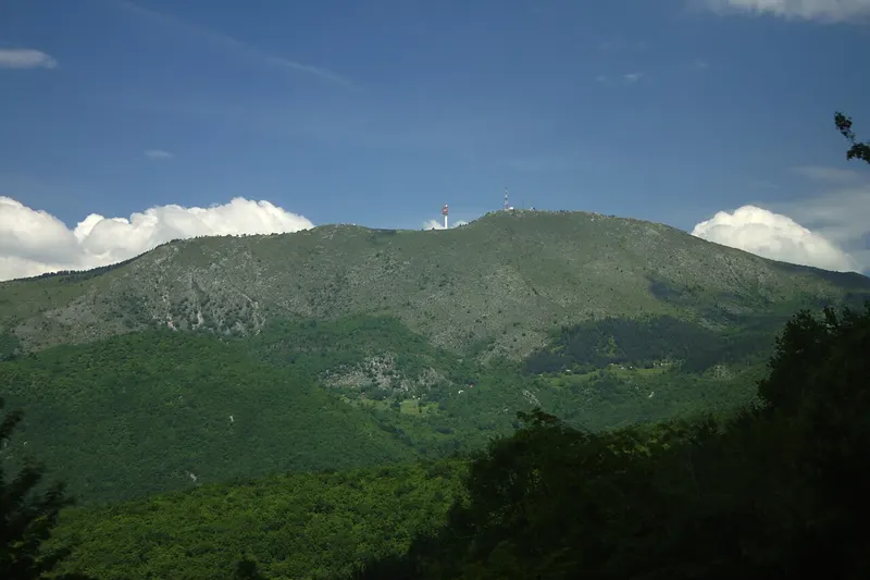
Bjelašnica borders Mount Igman to the north-east, while the Rakitnica forms its boundary to the south and the Neretva to the west. Other peaks include Krvavac (2,061 m), Mali Vlahinja (2,055 m) and Hranisava (1,964 m). The name comes from bijel, white, after the snow that can lie on the peaks until August. The range consists mostly of limestone and dolomite. The lower slopes are covered mainly in beech forest, and no trees grow above 1,500 metres. Small mountain lakes are scattered across the range, among them Blatačko and Lokvanjsko.
The weather is harsh: from November to May snowdrifts up to 4 metres high form, and even in midsummer a snowstorm can catch hikers by surprise.
Weather station and Olympic Games
In 1894 the Austro-Hungarian administration built a weather observatory on the summit, staffed all year round. In 1993, during the war, it was blown up together with the television transmitter. The damage was later repaired, and today staff of the Federation's Hydrometeorological Institute work at the observatory again.
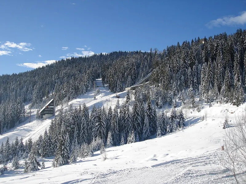
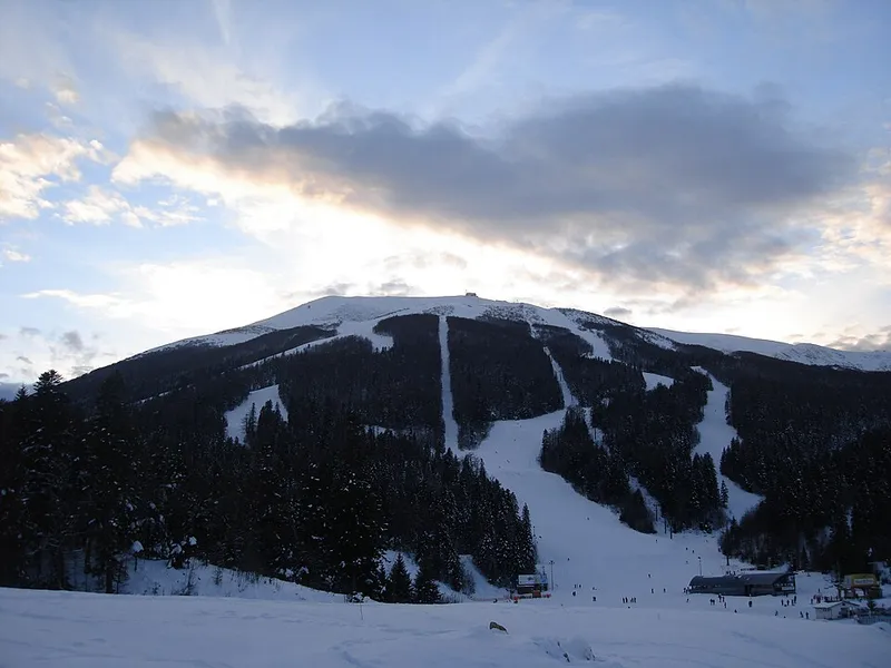
At the 1984 Winter Olympics, the men raced downhill, slalom and giant slalom on Bjelašnica. The runs were built for this, and Babin Dol was developed with a long lift up to the summit. The American Bill Johnson won the downhill, and twins Phil and Steve Mahre took gold and silver in the slalom. In the giant slalom Switzerland's Max Julen won ahead of Jure Franko, whose silver was Yugoslavia's first medal at a Winter Olympics. The medal ceremony for this race was moved from Bjelašnica to the square in front of the Skenderija centre in Sarajevo, where some 20,000 people gathered. During the war, the ski centre's facilities and hotels were destroyed.
Skiing at Babin Dol
The lifts and hotels have since been renewed. The downhill course runs from the summit down to Babin Dol; on its lower part, a 750-metre stretch is floodlit for night skiing. Practice slopes for ski schools, children and beginners are at Babin Dol. With its peaks and high plateaus, the range is also good for ski touring.
Lukomir, Umoljani and the Rakitnica
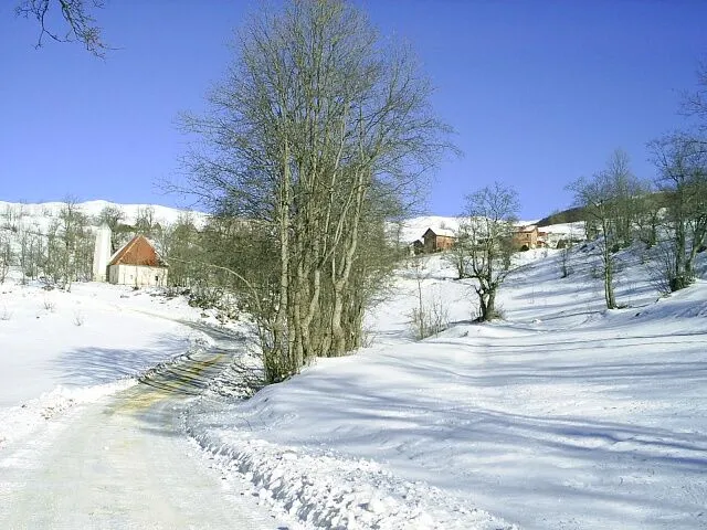
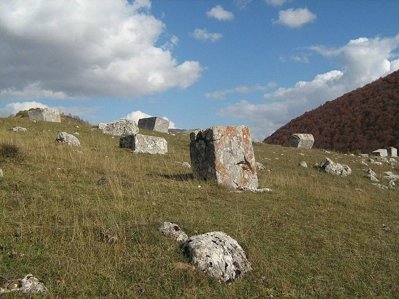
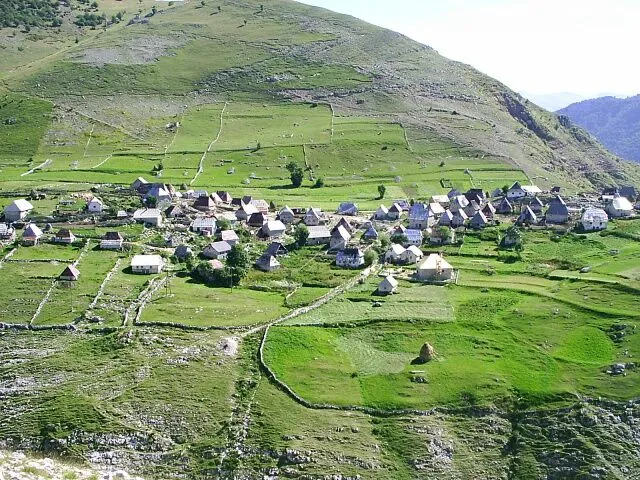
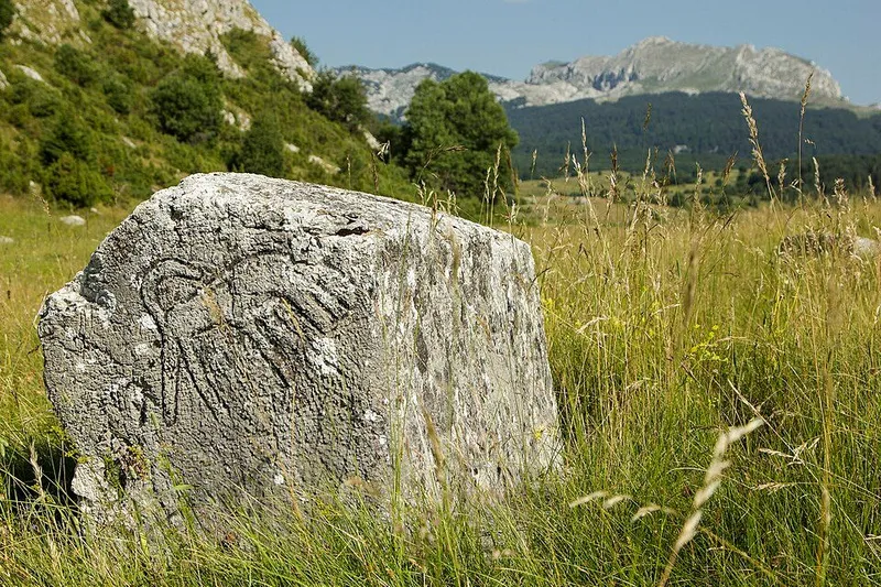
On the southern slopes lie villages that were destroyed or damaged in the war and have since been largely rebuilt, among them Umoljani at 1,275 metres. Lukomir sits at 1,495 metres on the edge of the Rakitnica canyon. Its stone houses are roofed with cherry-wood shingles, and from December to April the village can often be reached only on skis or on foot. Stećci from the 14th and 15th centuries show that people have lived here for centuries. Lukomir and its surroundings are protected as a national monument.
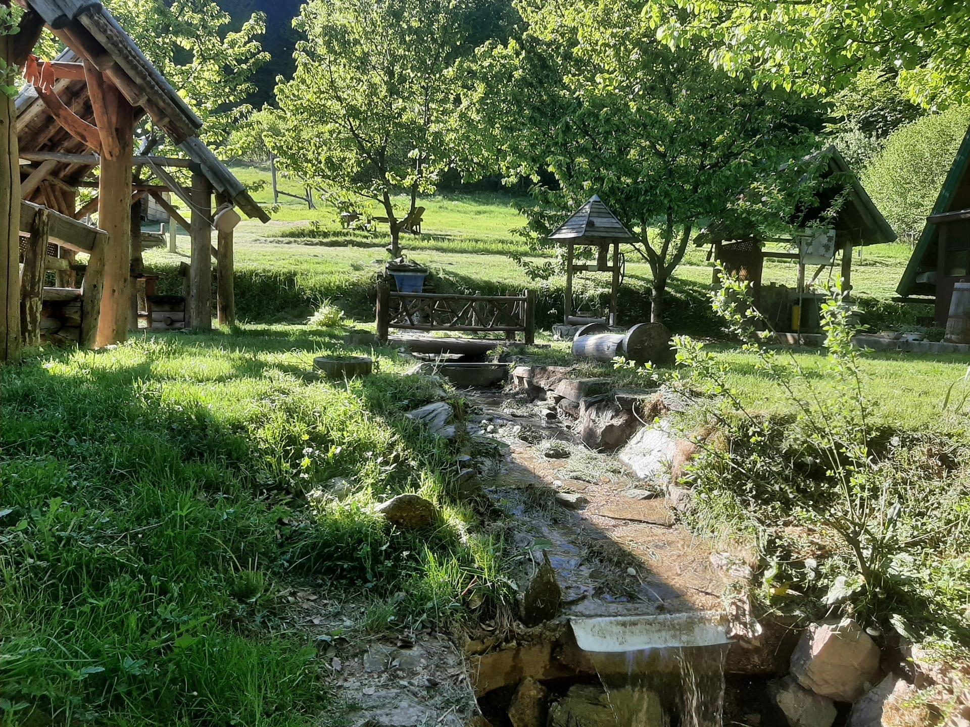
From Umoljani a waymarked trail leads north-west over Obalj (1,896 m) to Lukomir, and the way back runs above the canyon. Along the route are stećci necropolises, restored mills on mountain streams and viewpoint paths along the canyon rim.
Tips for your visit
Local mountain clubs maintain numerous trails to the bare summits. The Josipova staza, named after the alpinism pioneer Josip Sigmund, climbs to the main summit from the north. The Kotlovi rocks below the summit attract climbers. Mountain bikers can ride more than 30 kilometres of pistes and service roads up to the summit, and paragliders take off from the heights. Chamois, wolves and bears live in the remote parts.
There was fighting on Bjelašnica during the siege of Sarajevo, and some areas still carry a high mine risk. Extensive demining has been carried out around the recreation areas and especially around the ski runs. Before heading off the runs and marked trails, check the mine situation.