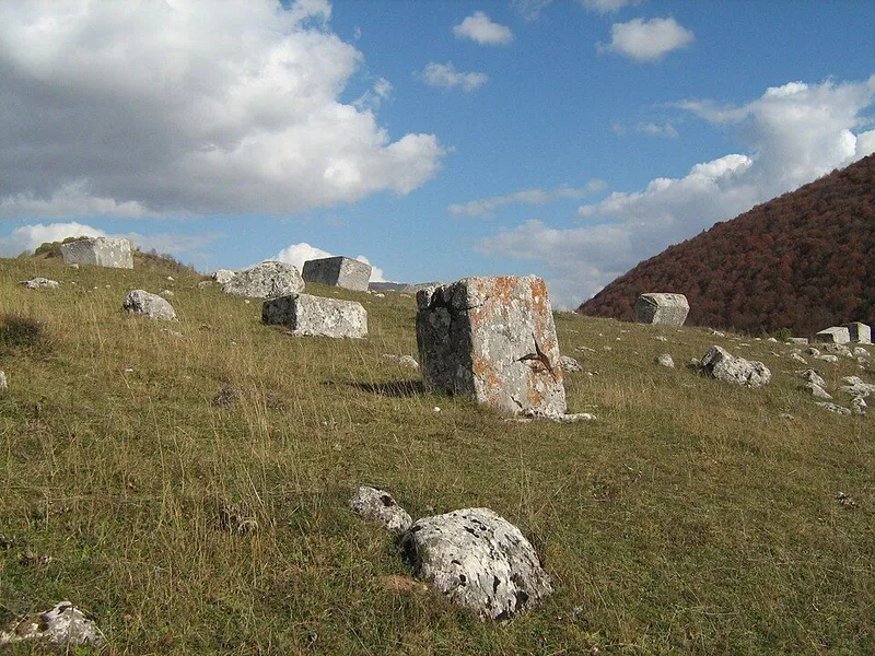
Tombstones and decoration
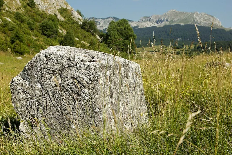
The tombstones are spread over the fields of Dolovi and Crkvina, on either side of the road before the village entrance. The count gives 6 slabs, 37 chests, 5 tall chests and 5 gabled stones, mostly cut from stone found nearby. Most are aligned roughly north to south, while 13 face west to east. There are also remains of the foundations of a building that has never been excavated and may have been a church.
14 stones carry decoration. You can make out twisted bands, double zigzag lines, lines in low and high relief, vines with trefoils or spirals, stylised and Latin crosses, a shield and sword, a circle and rosette, and a stylised tree with two pairs of symmetrical spirals. One scene shows a round dance, read as a ritual funeral dance. No inscriptions have been found.
Villages, herders and a small community
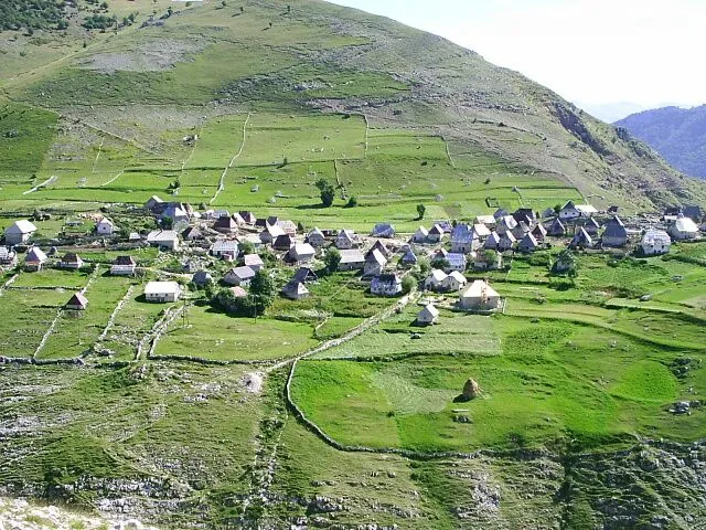
Together with Šabići, Kramari, Lukavac, Brda and Malešići, Umoljani forms a cluster of villages on the right bank of the upper Rakitnica. On the hill above the shepherds' settlement of Umoljani lies the prehistoric site of Gradina.
In the late Middle Ages the land between the Rakitnica and the Trešanica belonged to the district of Črešnjevo in the county of Neretva. The southeast of Bjelašnica seems to have been settled by Vlachs who raised livestock; place names such as Vlahinja, Katun or Vlaško groblje, the Vlach cemetery at Lukomir, support this view. The villages formed a small community of clan-based hamlets with a fort of their own, probably on the height called Grad above Lukavac. The place name Varda in Umoljani, Tušila and Šabići points to an organised guard service.
Church, mosque and Ottoman registers
Umoljani was probably the religious centre of this community and remained so. The field called Crkvina, a name meaning church, and the village mosque both point to this. Karl Patsch heard from the villagers the tale of a church below the village at Crkvina and noted worked stones sticking out of the waste ground there.
In the Ottoman summary register of the sanjak of Bosnia of 1468/69, part of Umoljani appears with 31 households among the reserve soldiers of Neretva. Further entries follow in 1488/89, in 1550 in the register of the sanjak of Klis, and in 1574. The village mosque is at least 200 years old.
Protection and condition
Since May 2009 Dolovi has been a national monument of Bosnia and Herzegovina as a natural and historic area, together with the old nišani and the remains of the medieval building. In 2016 the necropolis became one of 28 sites of the World Heritage property of medieval stećci graveyards. The inscribed area covers 22.38 hectares, the buffer zone 31.56 hectares.
The 2017 description of the site calls its condition unsatisfactory. Stones are chipped, toppled or completely sunk into the ground, moss and lichen wear them down, and because the land is not fenced it serves as pasture. Some 500 metres to the west a single fallen stone lies on a hill, near the outline of a building that may be the church mentioned in the literature.
In 2011 the whole site was surveyed and photographed stone by stone so that changes can be tracked. On 13 May 2026 specialists from the Institute for the Protection of Monuments of the Federal Ministry of Culture and Sport inspected the condition of the necropolis and possible threats.