Village and history
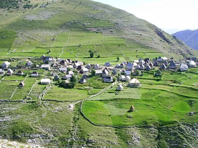
Umoljani lies with neighbouring villages such as Šabići and Lukavac on the right bank of the upper Rakitnica. Above the shepherds' settlement of Umoljani rises the prehistoric site of Gradina. In the Middle Ages the village was apparently the religious centre of a small rural community, as suggested by the place called Crkvina between Umoljani and Šabići, whose name points to a church.
The Ottoman summary register of the sanjak of Bosnia of 1468/69 lists part of Umoljani, with 31 households, as reserve soldiers, and further mentions follow in registers of 1488/89, 1550 and 1574. During the Bosnian war the villages on the southern slopes of Bjelašnica were not on the front line but suffered heavy damage from shelling. At the 2013 census Umoljani had 40 inhabitants.
The mosque
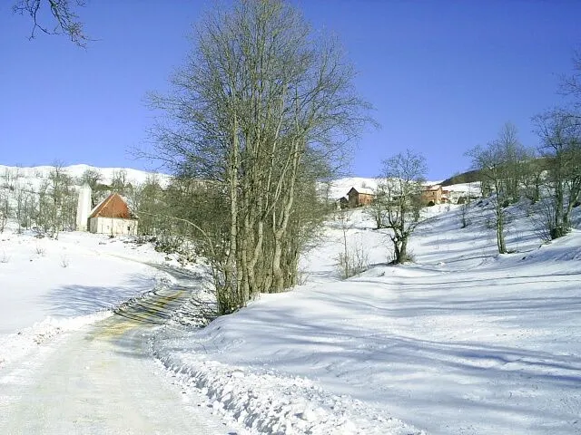
At the entrance to the village stands a mosque with an unusual minaret adapted to the harsh weather up here. When it was built is not recorded in writing. More than 20 stećci are said to be built into its foundations. Since 2008 the mosque has been a national monument of Bosnia and Herzegovina as an architectural ensemble.
The stećci of Dolovi
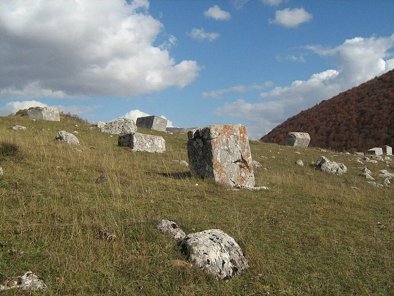
In front of the village, beside the road, lies the Dolovi necropolis. The recorded tombstones take the form of slabs, chests, tall chests and gabled stones, plus 11 old nišani and the foundations of a building that may have been a church. 14 stones are decorated, among other things with grapevines, crosses, a shield and sword, rosettes and a round-dance scene interpreted as a ritual funeral dance.
Dolovi has been a national monument since 2009, and in 2016 the necropolis was inscribed as one of 28 sites of the UNESCO World Heritage property Stećci. The cemeteries of this World Heritage property date from the 12th to the 16th century. Their condition is poor, however: many stones are damaged, sunken or covered with moss and lichen, and the land is used for grazing.
Dragon legend and hiking trails
Seen from afar, the Studeni potok behind the village looks like a snake. Legend has it that a dragon climbed out of the Rakitnica canyon to devour the villagers and left the winding streambed behind. The people fled to Pošiljak hill and prayed for it to turn to stone, which it did. The petrified dragon can still be seen as a rock, and the village is said to take its name from this pleading, umoliti. Another explanation traces it to shepherds from Herzegovina, the Humljani.
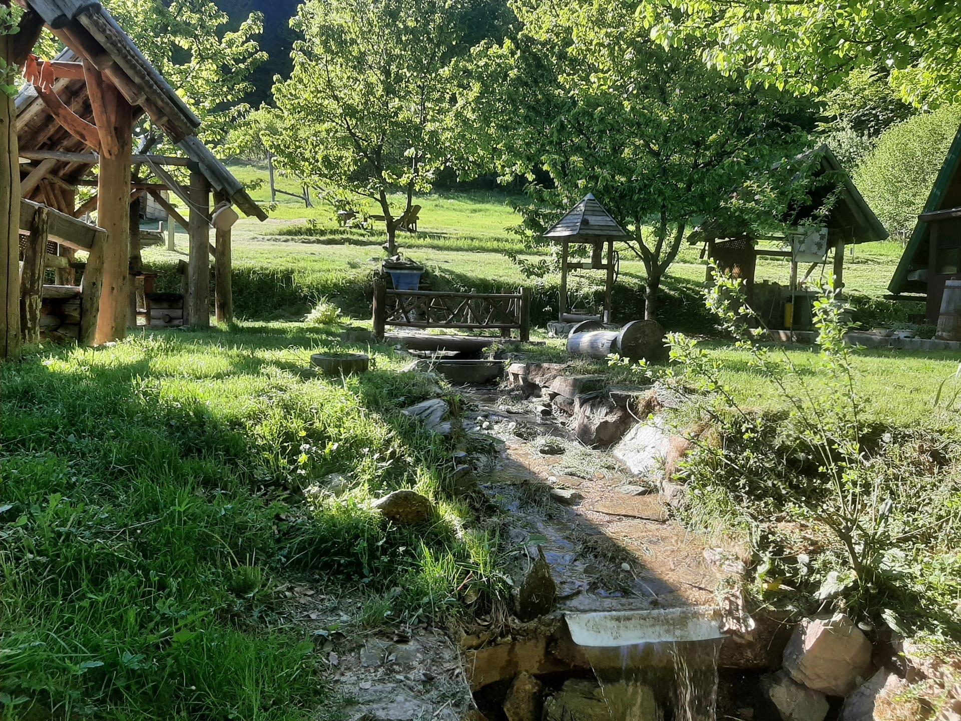
A path to the stream leads through the shepherds' settlement of Gradina. At its end the stream plunges into the Rakitnica canyon, which runs for 26 kilometres between Bjelašnica and Visočica. A hiking trail runs along the canyon from Umoljani to Lukomir. At the Sedrenik spring, which trickles from a rock, stand old wooden mill wheels. Off the trails, remote mountain areas of Bosnia and Herzegovina still carry a landmine risk.