Location and structure
Prenj belongs to the high karst of the Outer Dinarides and covers about 463 square kilometres. Visočica adjoins it to the east, Bjelašnica to the north-east, Bitovnja to the north, Čvrsnica to the west, Velež to the south and Crvanj to the south-east, and the lakes of Boračko, Jablaničko, Grabovica and Salakovac lie around it. The name is linked to Perun, the thunder god of the ancient Slavs.
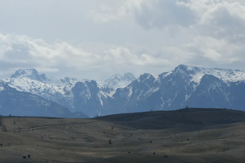
The massif rises in three tiers. The foothills between 180 and 1500 metres carry lush deciduous forest dominated by beech up to 1000 metres and above that, up to 1200 metres, mainly pines, which locals call smrč. Next comes a plateau up to 1400 metres; its western part, Glogovo, is mostly bare karst. At the top, the main ridge runs for about 15 kilometres from north-west to south-east. Former glaciers have left their mark here: wide cirques and sheer walls that fall up to 800 metres towards the Neretva canyon.
The peaks
Ten or eleven peaks rise above the 2000-metre mark; the number varies because the heights themselves differ from source to source. For Zelena glava, the highest summit, older topographic maps give 2103 metres, 2155 metres is marked on the summit itself, and other figures say 2115 metres. Other peaks include Lupoglav, Otiš, Herač, Osobac and Velika kapa. Vertical rock faces above green high valleys and dense mixed forests are typical. A popular goal is Zelena glava, reached by trails from Jablanica, Ruište and Boračko Lake.
Water, weather and huts
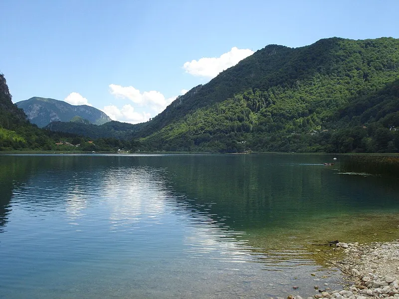
Although precipitation is high, the geology means there is hardly any running water on the surface. At the north-eastern foot, at 397 metres, lies Boračko Lake, which is of glacial and tectonic origin. Along the Neretva valley a modified Mediterranean climate reaches almost to Konjic; where it meets continental air masses, the weather changes often and suddenly. Such sudden changes were the main cause of several mountaineering accidents, four of them in the second half of the 20th century.
As shelter from bad weather, the Via Dinarica names the Jezerce hut, the Divova kuća bivouac and, below the Vršine peak, an unusual refuge: a truck cabin that the Mostar police had used for transporting prisoners and donated, and that Mostar mountaineers had flown up by military helicopter in 1989. In May 2025 a new 11-kilometre section of the Via Dinarica was cleared and marked, leading from Jablanica via Glogošnica to the Međuprenje hut at the foot of Izgorjela gruda and Cetina.
Landmines and safety
During the war of 1992 to 1995 the front line ran across Prenj, and heavy fighting took place in the mountains around the eastern Bijela valley and on the slopes above Konjic. Landmines and unexploded ordnance are a serious threat, especially east of a line from Čelebići over the summit of Zelena glava to the village of Ravni. Former positions reach as high as the shoulders of Otiš at around 2000 metres.
Marked routes to the main peaks have been re-established, and some huts, such as Bijele Vode and Hrasnica, have reopened. According to Via Dinarica, its White Trail is free of mines, but on some stages you may see signs reading “MINES”, so check the current conditions for each stage beforehand. Never take shortcuts across unmarked ground, even if it looks passable. Some trails also become overgrown and have to be cleared every few years, so their condition can change.