The upper Neretva
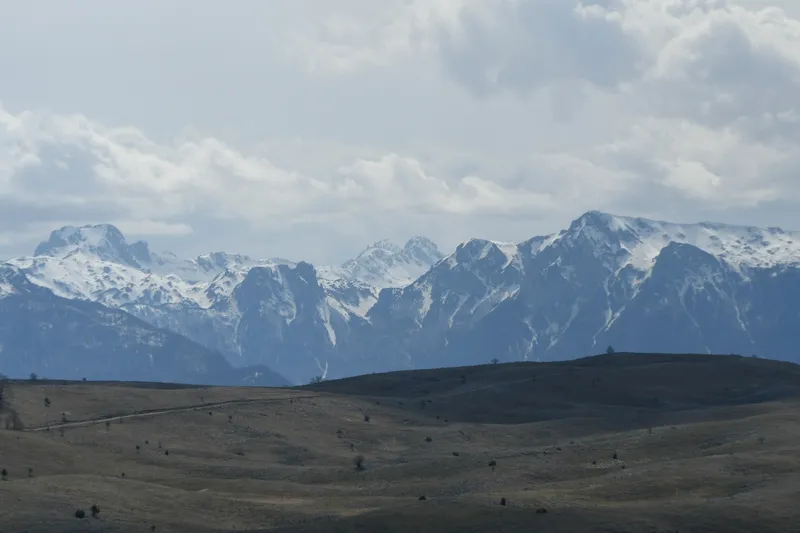
The Neretva rises at the foot of the Zelengora and Lebršnik mountains below the Gredelj saddle, from five small springs. Over its first 90 kilometres to Konjic, the Gornja Neretva, it cuts two deep, narrow canyons and flows through two wide, fertile valleys, around Ulog and in Župa Komska around Glavatičevo. The water of the upper Neretva is rated Class I. In its headwaters the river has carved gorges 600 to 800 metres deep, with rapids and waterfalls.
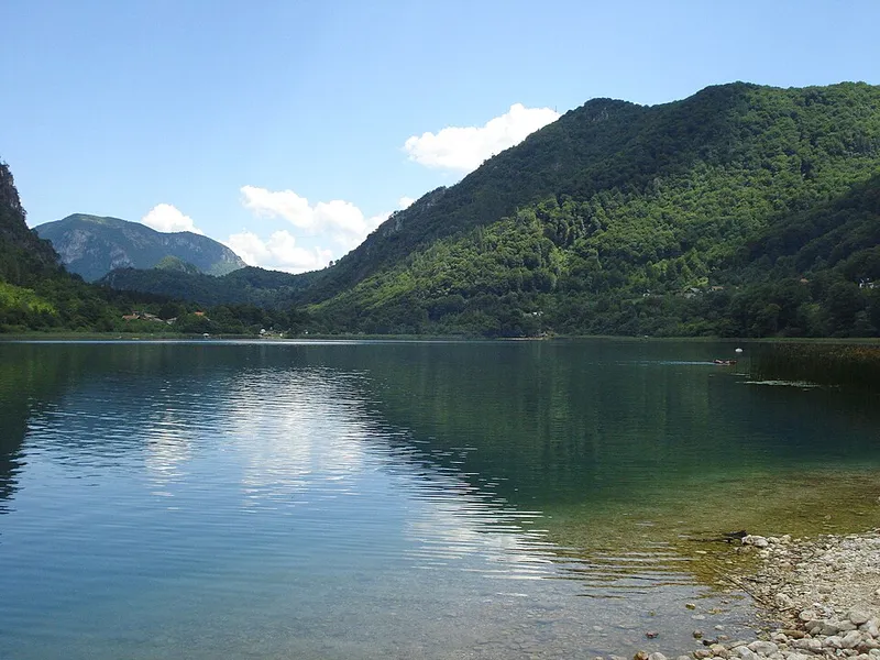
Below Konjic begins Jablaničko jezero, a reservoir that stretches to Jablanica. It was created in 1953 by the construction of an arch dam and flooded a fertile valley.
From Glavatičevo to Konjic
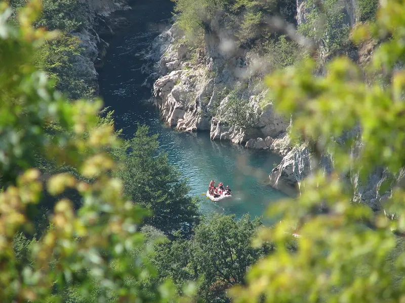
The tour from Glavatičevo to Konjic is about 23 kilometres long and has a few wild sections of grade 2 to 3. Along the way you pass through the Small and the Great Canyon and see waterfalls and untouched scenery hidden from the road. Four rapids follow one another so that each is more intense than the last.
The boats are steered by trained skippers who take the crew from start to finish. Competitions of the Bosnia and Herzegovina championship have also been held on the upper Neretva, but the focus is on the experience for visitors.
Tips for your visit
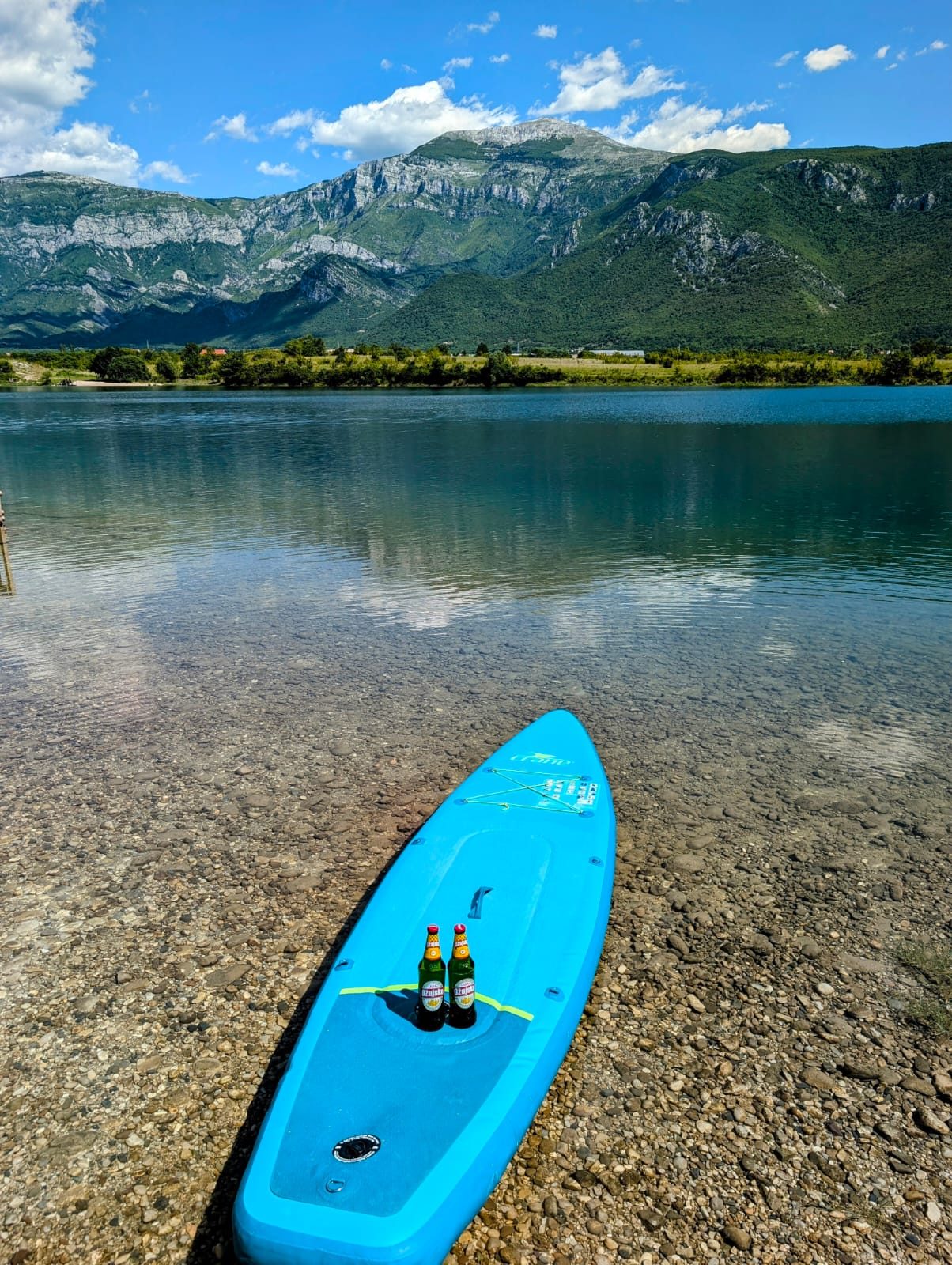
If you are after more adrenaline, come in April and May, when the Neretva carries a lot of water. If you would rather not get in a boat, there is more nearby: people swim and fish at Jablaničko jezero, and the lake is also good for water sports.
Konjic
Konjic lies where the upper Neretva ends. In the town stands the Stara ćuprija, the Old Bridge: Ali-aga Hasečić had it built in 1682 to 1683 on six slightly pointed stone arches. In March 1945 the retreating German army destroyed the arches, and between 2003 and 2009 the bridge was rebuilt in its original form. It is now a national monument.
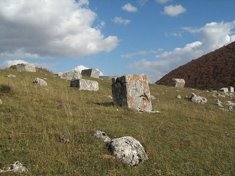
The municipality has about 4,160 stećci on almost 150 necropolises, and work by Konjic's woodcarvers is kept in valuable collections. Konjic is also home to D-0, popularly known as Tito's bunker, built in complete secrecy from 1953 to 1979.