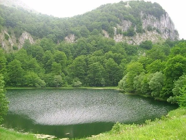
The lake
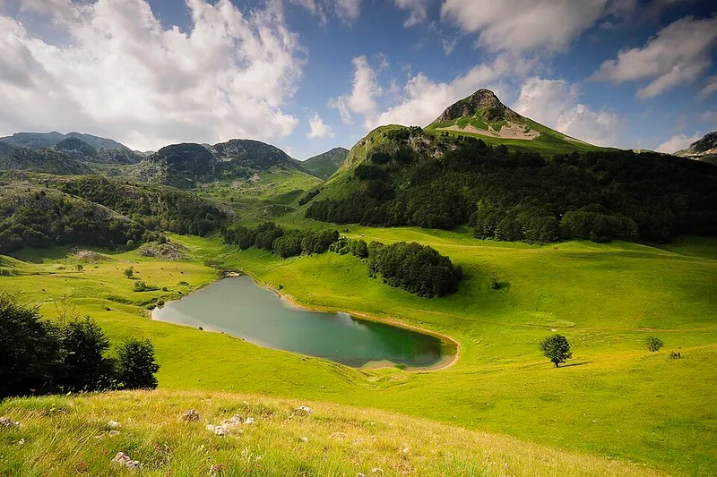
The lake lies on the north-western side of the Tovarnica massif below the peak of Planinica (1,722 m); Ardov (1,723 m) also rises nearby. Donje Bare is about 200 metres long, 140 metres wide and in places more than 4 metres deep. It is fed by springs on several sides, including a large spring on the western shore. The water is clean and clear, and the bed looks dark blue. In winter the lake freezes over completely.
There are no native fish in the lake; it is stocked with rainbow trout.
Meadows, pastures and forest
Meadows and forest alternate around the lake. There are also alpine pastures of mountain grass, dotted with dwarf mountain pine and other pines, while beech forest grows lower down. To the north-east lie mountain meadows with small ponds rich in marsh plants.
Borić viewpoint and Gornje Bare
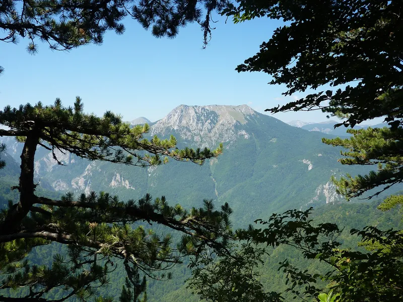
An easy path 1.2 kilometres long leads from the lake to the rim of the Sutjeska canyon and the Borić viewpoint. From there you look over the whole Sutjeska canyon, the mountains of Vučevo, Maglić and Volujak, the Perućica primeval forest, Dragoš sedlo, Prijevor and the Tjentište valley, as well as the remains of the old towns of Vratar and Vratac and Kosman.
A three-kilometre path links Donje Bare with the smaller lake of Gornje Bare on the eastern slopes of Uglješin vrh. The lake is about 150 metres long, 80 metres wide and up to 2 metres deep. A popular hiking tour combines both lakes with Uglješin vrh and the Tovarnica ridge, which offers views of Volujak, Maglić and Lebršnik.
Tito and the Partisans
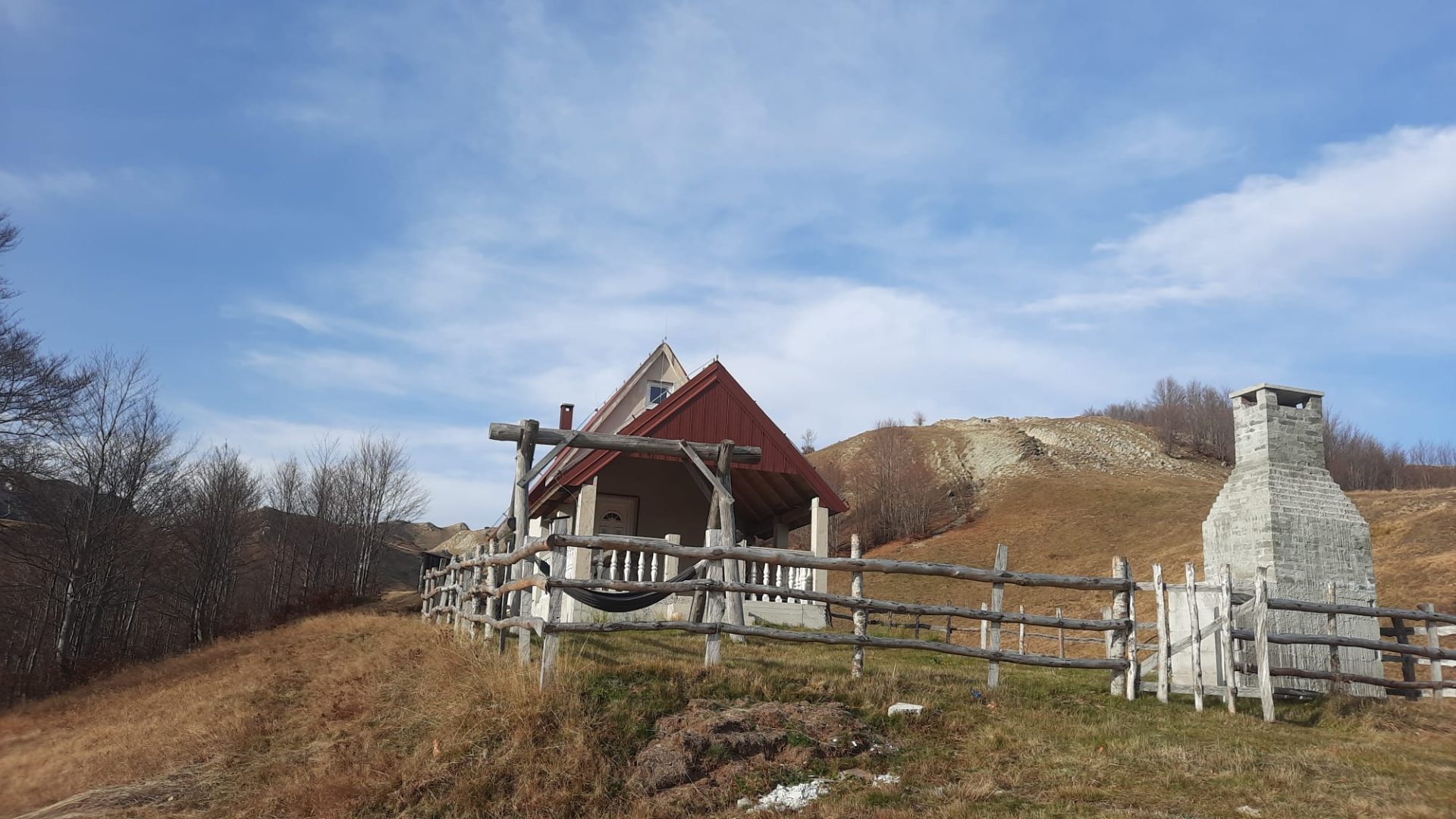
The landscape around the lake also appealed to the former Yugoslav president Josip Broz Tito, who had a mountain hut here. Its remains can still be seen by the lake. The site is regarded as a memorial to the Partisans who fell fighting the numerically superior German army.
Sutjeska National Park was established on 13 January 1962 by a law of the National Assembly of Bosnia and Herzegovina. It covers 16,052.34 hectares, more than 66 per cent of which is forest, the rest being meadows, pastures and bare ground.
Tips for your visit
For hikes to the lake, bring hiking boots, warm clothes in case it turns cold and a water bottle; from May to June, insect repellent and sunscreen are useful.