Mountains, forests and springs
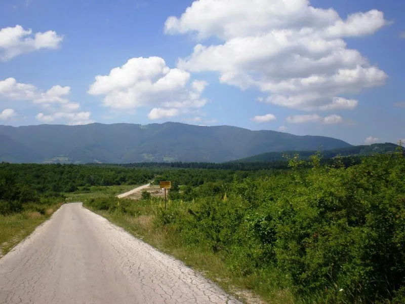
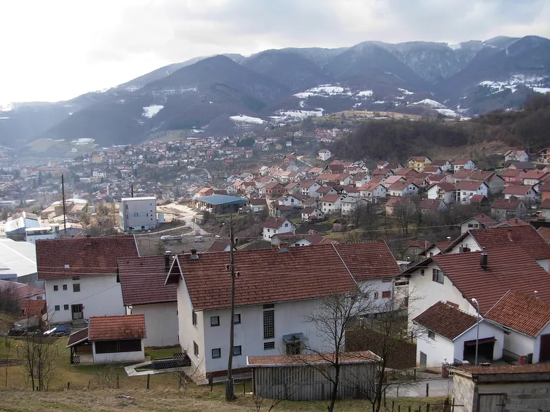
The municipality lies in the south-west of Republika Srpska and in the west of Bosnia and Herzegovina. It is ringed by Lisina (1,467 m) to the south-east, Dimitor (1,483 m) to the west, Čemernica (1,338 m) to the east, Manjača (1,239 m) with its spur Grabež to the north, and Ovčara near Mliništa (1,576 m). The villages are scattered, their wooden houses set among centuries-old woods of fir, spruce, pine and beech crossed by steep mountain streams.
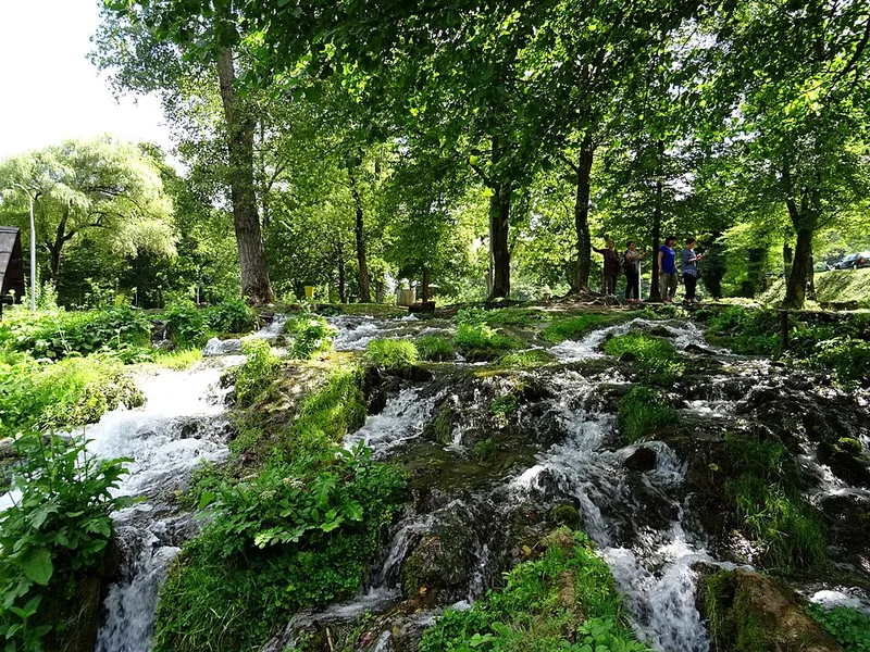
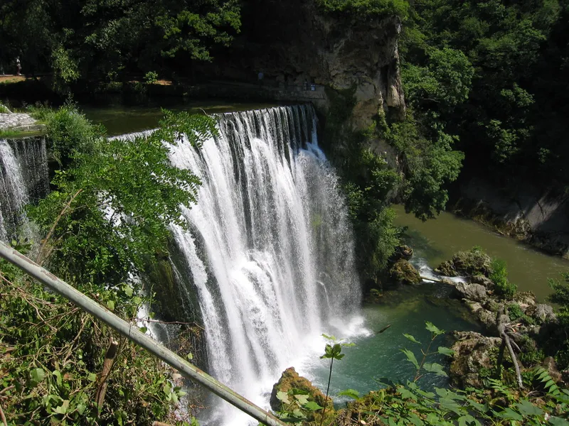
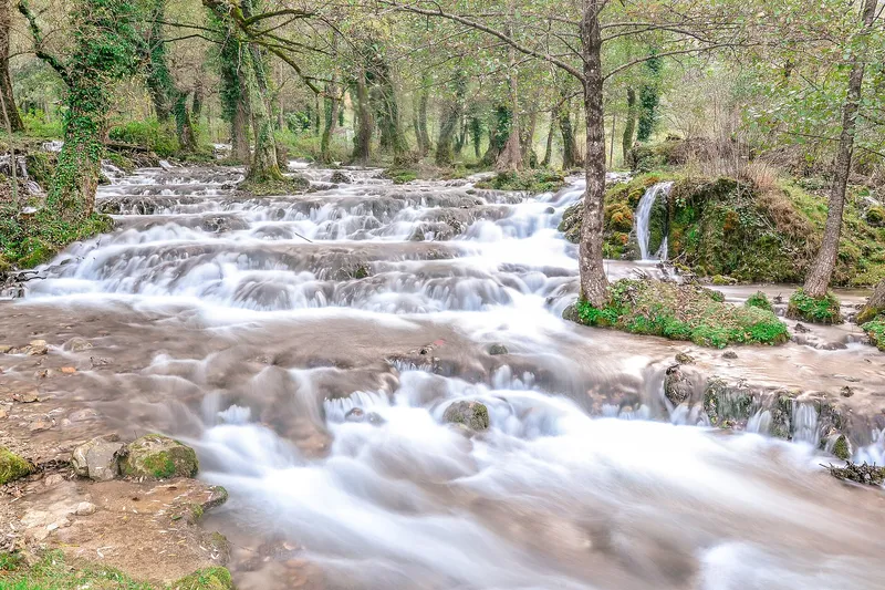
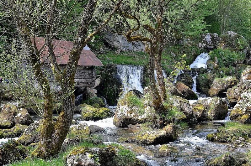
The area is very rich in water: Lisina alone has some 360 springs, and the whole region around 1,000. It is also home to about 1,300 species of fungi and more than 1,000 plant species. Golden eagles and eagle owls, which nested in the mountains in the past, are still found there today. The sources of the Sana are now protected as the “Vrela Sane” natural monument, which takes in three karst springs, the lower course of the Korana and Mračaj Cave.
From Leusaba to Mrkonjić Grad
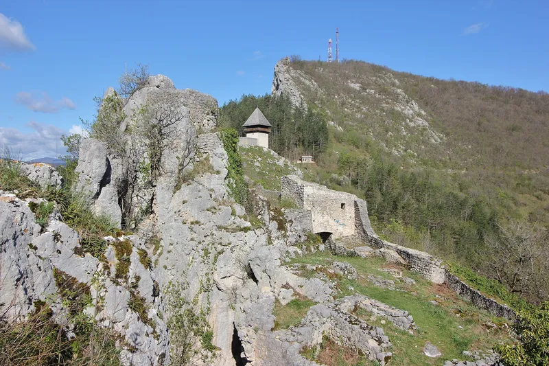
The first traces of settlement go back to Roman times. The Roman road from Salona to Servitium, which linked the Adriatic with the Sava and Pannonia across western Bosnia, ran through the area. Where several routes met, at the foot of Grabež, lay the settlement of Leusaba, from which the present town later grew. The Middle Ages left more than 500 stećci and the fortresses of Soko, Prizren and Bočac.
According to the municipality, in 1593 Krzlaraga, born a Đukanović, founded an endowment (vakuf) with a mosque, 24 shops, a water supply, a bakery and a library. Over time the town bore several names, among them Novo Jajce, Varcarev Vakuf and Varcar Vakuf. In 1924 it received its present name after King Petar I Karađorđević, who as Mrkonjić had taken part in the 1875 uprising against the Ottomans. On 25 November 1943 the first session of ZAVNOBiH, the State Anti-Fascist Council for the National Liberation of Bosnia and Herzegovina, was held here and decided that Bosnia and Herzegovina would become the sixth federal unit of Yugoslavia. The town was heavily damaged in the war of 1992 to 1995, and rebuilding began as its people returned.
Smiths, scythes and crafts
The area has long been known for forged tools, above all for the “Varcarka” scythe. Smithies still make tools by hand in the traditional way. Every year the Dani kosidbe mowing days are held at Balkana Lake in memory of the region's mowers and their scythes: the centrepiece is a contest between local and foreign mowers, accompanied by folklore performances, a swimming race and other events. Household crafts live on as well. Wooden barrels and rakija flasks are still made, and women still weave gloves, socks, colourful rugs and covers with traditional patterns.
Excursions nearby
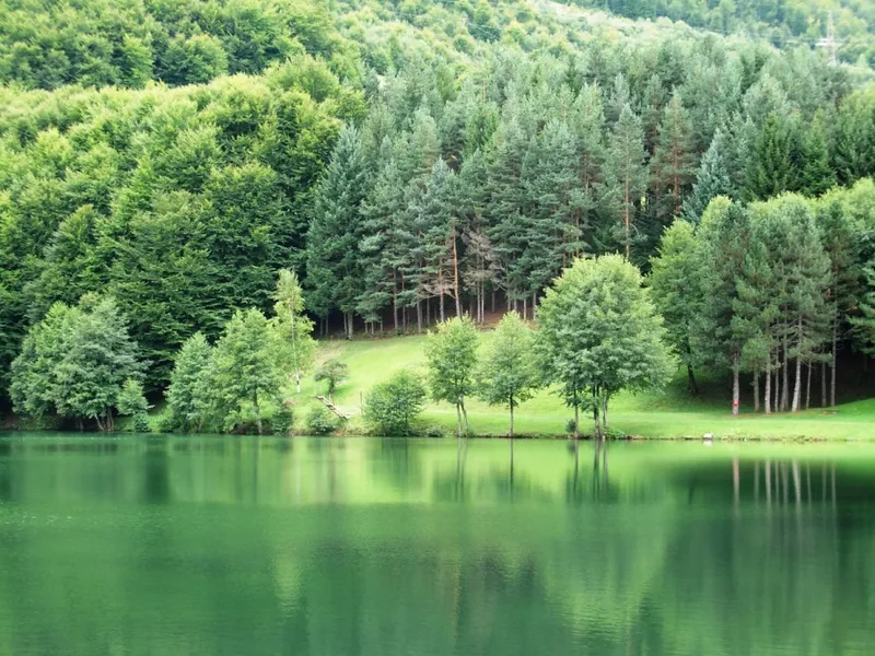
Balkana Lake consists of two artificial lakes, a small one and a large one, at 750 metres. They are fed by the mountain streams Cjepalo and Skakavac and by springs beneath the large lake. According to local tradition, the name goes back to two springs full of fish that were called Balukhana, after the Turkish word “baluk” for fish.
The Zelenkovac excursion area lies near the village of Podrašnica at 880 metres, in the valley of a stream that rises on the western slopes of Lisina and flows through pine forest. Around fifteen watermills were built along it centuries ago. In 1985 the painter Borislav Janković converted one of them into his studio and set up the gallery “Zašto nije otišao Boro!?” there. Since April 2002 Zelenkovac has had the status of an ecological zone.
About 15 kilometres north-east of the town, in the village of Baljvine, lies the medieval necropolis of Tešanovića krčevine, protected as immovable cultural heritage.
Tips for your visit
The Green Tour association has mapped more than 300 kilometres of cycling routes on asphalt and gravel roads in the area. They link villages, springs and farms with the Pecka visitor centre, which is housed in the former village school; the school was in use from 1931 to 1985.