The waterfall
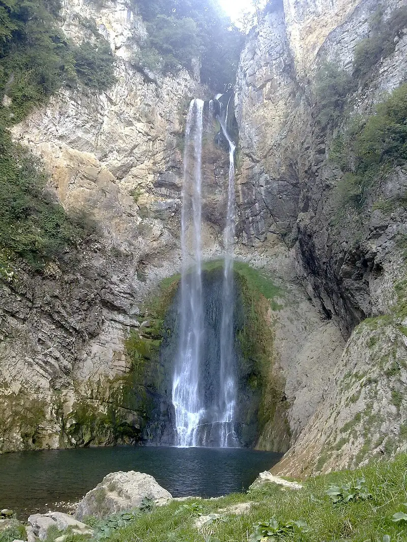
The waterfall lies between the villages of Fajtovci and Gornji Kamengrad in the municipality of Sanski Most. Here the Bliha drops 56 metres, and the fall is about 10 metres wide, although its width varies with the water level. The water breaks against the rock face, and a distinctive notch in the canyon gives the fall its particular look.
Because of the unusual shape of the canyon and waterfall, Bliha was recognised as a geomorphological natural monument in 1965. The European database of nationally designated protected areas lists Vodopad Bliha as a natural monument covering 4.5 hectares. The view changes with the season, the amount of water and the position of the sun, so the fall looks different in the morning, the afternoon and towards evening.
The Bliha, a river of Sanski Most
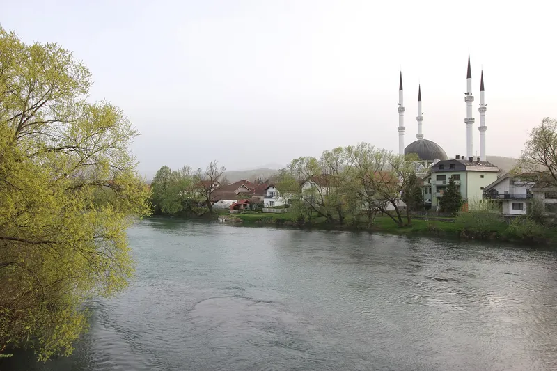
The Bliha is a left tributary of the Sana and flows through the municipality of Sanski Most along its entire length. It rises at Donji Lipnik at 450 metres above sea level and is 23.9 kilometres long, with the waterfall at kilometre 9 of its course. On the way it collects smaller rivers and streams such as the Suvača, Obarak, Modrašnica, Hatiraj and Suhača, and it runs fast over a stony bed. Because of its many rivers and streams, Sanski Most is called the town on nine rivers, and the Bliha is one of them.
Brown trout and chub live in the Bliha, and in summer the nase comes up to spawn. River crayfish are also found here, although their numbers are falling. Lush vegetation typical of riverbanks grows around the waterfall.
The legend of Bliha
Legends surround the name. According to one of them, all of humanity had been wiped out except for a brother and two sisters. One of the sisters, Bliha, was so distraught at her fate that she threw herself off the cliff and became the river that forms this waterfall, hence the name Blihin skok. The other sister turned into tears and now flows quietly through Sanski Most. Another folk tradition holds that the Bliha and Zdena rivers are named after two beautiful sisters.
Nearby: Kamengrad fortress
On the lower course of the Bliha, on a plateau above the village of Donji Kamengrad, lie the remains of Kamengrad fortress. It stands on a steep hill at 417 metres, from where the Bliha valley could be controlled, and has a triangular plan that narrows towards the east. It is first mentioned in 1374, when it belonged to the župa of Sana and the Blagajski nobles.
According to tradition Kamengrad fell to the Ottomans as early as 1463, as the Fatih musalla is said to show, but historians date the conquest to 1498. The fortress was finally abandoned in 1838. It has been a national monument of Bosnia and Herzegovina since 2008.
Tips for your visit
A footpath made from natural yet durable materials and built for visitors by the municipality of Sanski Most leads to the waterfall. You can picnic on the riverbank and explore the surroundings on nature trails.