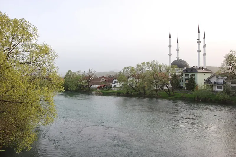
A town on the Sana
The town lies on the middle course of the Sana, framed by the Grmeč range to the west and the Mulež and Behremaginica mountains to the east. Besides the Sana, the Sanica, Dabar, Zdena, Bliha, Majdanska rijeka, Japra, Sasinka and Kozica flow through the municipality.
The Sana rises in the village of Donja Pecka and runs clear and calm through the town, which takes its name from the old bridge over the river. In summer people swim along the banks, and anglers and kayakers are out all year round. Quiet spots by the water can be found at Šehovci, on the Zdena and on the Dabar.
Kamengrad and early history
In the municipality, 176 Iron Age graves have been found, some with pottery imported from Greece and Italy. From the 13th to the 15th century the area belonged to the county of Sana, and in 1499 it came under Ottoman rule.
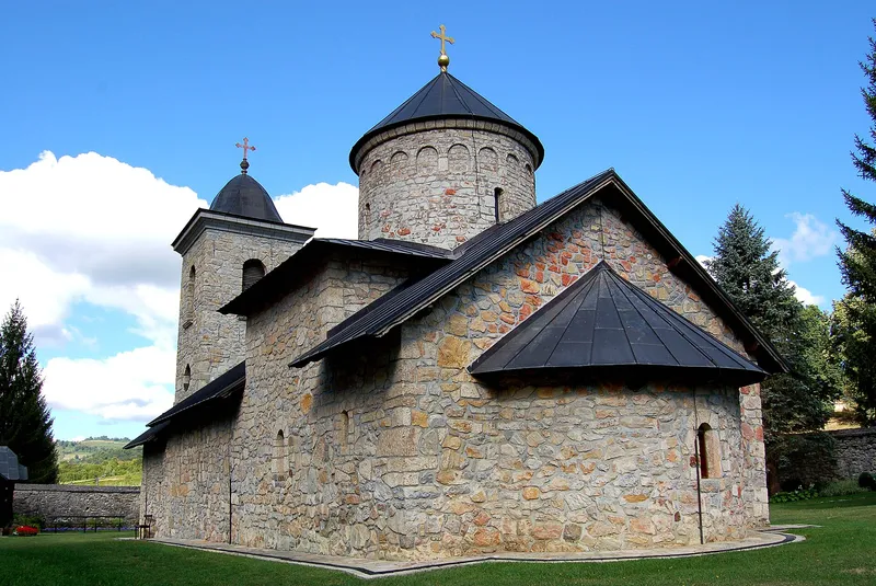
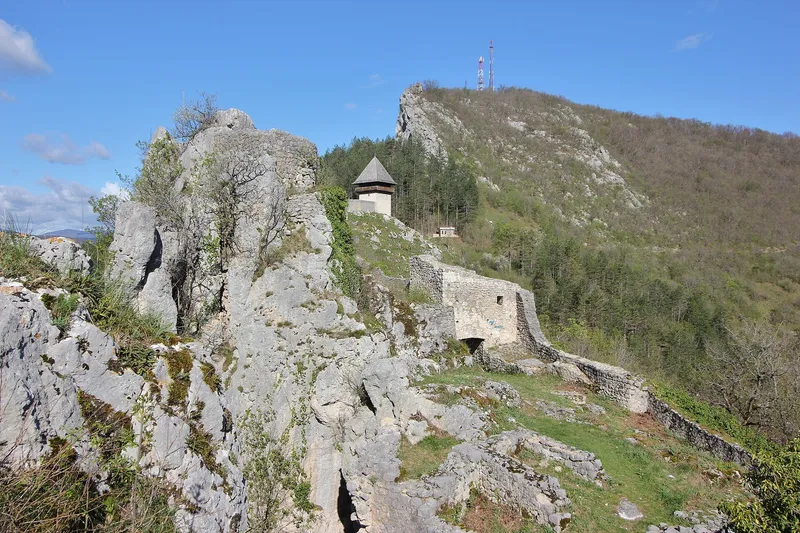
On a rise above the village of Donji Kamengrad stand the remains of Kamengrad fortress, mentioned as early as the 14th century. Parts of the walls and towers survive, and the site is a national monument as a historic area. In the same village, about 9 kilometres from Sanski Most on the road to Bosanska Krupa, lies the musalla dedicated to Sultan Fatih Mehmed, with its cemetery, a national monument since 2003.
The mosque and monuments in town
In Sanski Most stands the Hamza Beg Mosque with four minarets. It was founded by the sanjak-bey Hamza-beg Biharović, who probably came from Kamengrad, and built before 1557, probably as early as 1555. On 27 June 1992 soldiers of the Army of Republika Srpska destroyed the mosque; the new building opened on 6 August 2000.
From 30 June to 2 July 1944 the anti-fascist council ZAVNOBiH held its second session in the town and declared the equality of Muslims, Serbs and Croats. The building where it met, a former Sokol hall, no longer exists; a memorial plaque marks the spot. About a kilometre from the centre, on the southern slopes of Šušnjar hill, lies the Šušnjar memorial complex. It commemorates the victims of the crimes of 1941 and was completed in 1970 to a design by the architect Petar Krstić.
Bliha waterfall
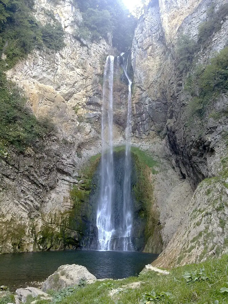
About 14 kilometres from the town centre, between the villages of Fajtovci and Gornji Kamengrad, the Bliha, a left tributary of the Sana, drops 56 metres. Locals call the fall Blihin skok, “Bliha's Jump”. It is about 10 metres wide, depending on the water level, and because of the distinctive shape of the canyon and the fall it has been recognised as a geomorphological natural monument since 1965. Greenery and rocky cliffs surround it, a footpath leads to the waterfall, and the area is good for hiking and picnics.
Caves and springs
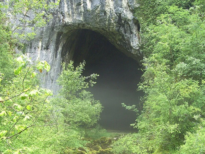
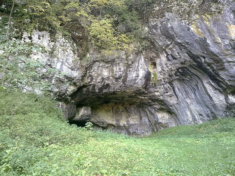
Strong karst springs rise in the municipality, among them Saničko vrelo, Dabarsko vrelo and the source of the Zdena. Hrustovača cave lies near the village of Hrustovo, about 12 kilometres from Sanski Most; from the village it is 700 metres along a country road and finally a short footpath. Excavations at the beginning of the 20th century showed that the entrance was inhabited in the Copper Age, and the finds belong to the Vučedol culture. The cave is a national monument as a cultural landscape, and the movable finds are kept in the National Museum of Bosnia and Herzegovina.
The Dabar cave in Donji Dabar, with the river's karst spring, is also a national monument. In the village of Ilidža at the foot of Mulež, sulphurous water said to have healing properties rises from a spring.