A castle of the Blagajski family
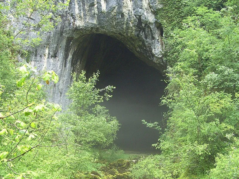
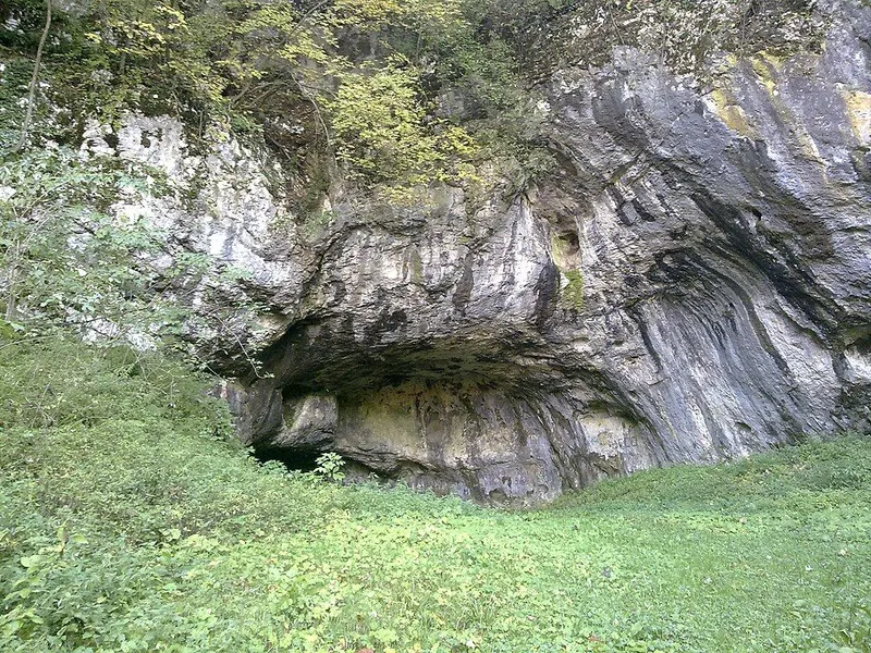
The castle is first recorded on 3 May 1374. On that day, before the cathedral chapter of Zagreb, three men sold part of their estate of Zagradje near the castle of Kamengrad, which belonged to Master Ivan, son of the late Prince Dujam Blagajski, and his brothers. Hamdija Kreševljaković believed the castle was built in 1346. The area is rich in iron ore and has been settled without interruption for many centuries; prehistoric traces survive in the Hrastovača cave south of Sanski Most.
The county of Sana, to which Kamengrad later belonged as a nahija, is first mentioned in 1256. A Catholic parish of Kamengrad appears to have existed from the 14th to the 18th century. Hungarian forms of its name include Kewar, Kywwar and Chivar.
Under Ottoman rule
Little is known of the period between 1374 and the end of the 15th century, when the area came under Ottoman rule; Kreševljaković gives 1463 as the year the castle was taken. According to a tradition first written down by Benedikt Kuripešić in 1530, the Ottomans besieged Kamengrad for eleven full years and only captured it when Sultan Fatih arrived in person with his army. Tradition also holds that the musalla was then built in his name; it too has been a National Monument since 2003.
The Ottomans made Kamengrad the seat of a nahija of the Sana župa and posted a garrison under a dizdar in the castle. Around 1541 the kadiluk of Kamengrad was created, and from 1565 until the mid-17th century it stretched as far as Cetingrad. In the early Ottoman period an iron mine at Glogovica near the castle, already worked before the Ottomans, produced cannon balls, bullets and tools. Kamengrad began to lose importance after Bosanska Krupa fell, but in 1624 it became the seat of a captaincy that included Stari Majdan and Vakuf, today's Sanski Most. When the kadi and the captain moved to Majdan in the late 17th century, the town declined.
The upper Kaja fort and the Palanka
The fortress has two parts: the upper fort on the summit, known locally as “Kaja”, and the lower fort at the foot of the rock, the Palanka. The upper fort is about 100 metres long and 25 metres wide. Its entrance on the north-east side opens into a courtyard 12 metres wide and was further guarded by a polygonal tower. A square half-tower projects from the north wall, a semicircular tower stands on the west side, and a polygonal watchtower on the south-east can be seen from below. The builders used rubble stone and lime mortar; reddish streaks on the walls point to hydraulic lime. Kreševljaković described walls standing up to 8 metres high in places and a round tower whose shape shows it predates the 15th century. In his account a paved road about 4 metres wide once climbed from the village, the sole approach, since the rock drops almost sheer on the other three sides.
The lower fort holds a few rectangular buildings of dressed stone inside a system of walls, among them structures of 21 by 9 and 18 by 8 metres; their neater workmanship suggests a later date. Until its listing in 2008 the fortress had never been surveyed in detail or investigated, and most of it was densely overgrown. According to the heritage commission, a forest track west of the fortress, near a former quarry, rises gently to it from the musalla.