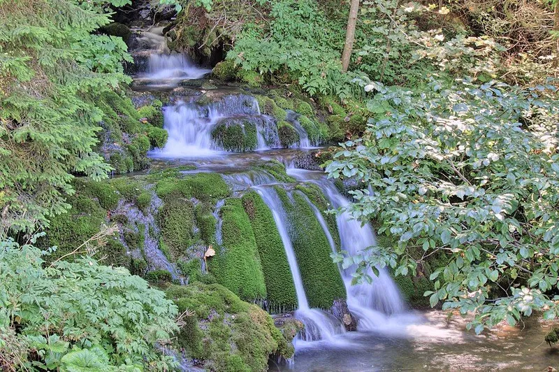
Karst spring and cascades
The spring is a mountain-type karst spring. The water emerges from the limestone of Ravna planina and forms the beginning of the Paljanska Miljacka. Its temperature stays almost constant at about 6 to 6.5 °C.
Over its first 250-odd metres, the young river forms cascades and small waterfalls over moss-covered tufa blocks. They are especially powerful when the water is high, above all in spring and autumn. The surrounding forest and the sound of the water make the area a good place for walks and outings.
The spring supplies part of Pale with drinking water, and a waterworks building was put up for this purpose. The constantly cold water is also used for fish ponds.
The course of the Paljanska Miljacka
The Paljanska Miljacka, formerly also known as the Paoštica, takes its name from the town of Pale, near which it rises. It flows mostly through the municipality of Pale and picks up streams such as the Jahorinski potok, the Manjača, the Repašnica and the Kaloviti potok along the way.
After about 13 kilometres it joins the Mokranjska Miljacka at Dovlići, at an altitude of 624 metres. From there on the river is called the Miljacka; it continues to Sarajevo and flows into the Bosna at Butile.
Gradina Pavlovića
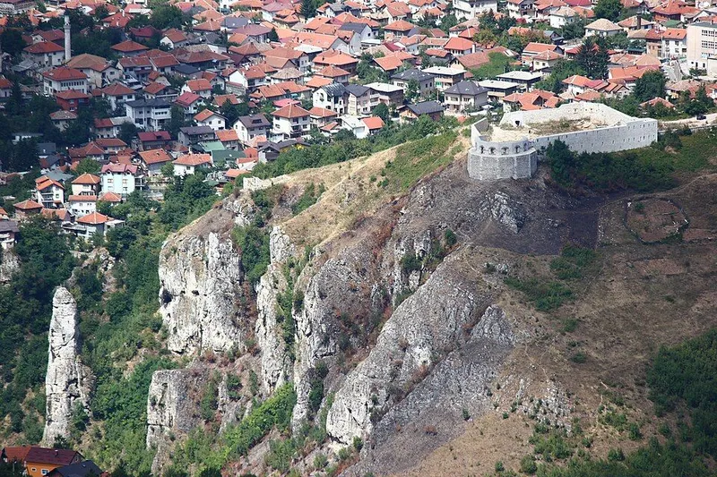
Directly above the spring, on a rocky, cup-shaped hill, lie the remains of Gradina Pavlovića, a medieval fortress associated with the noble Pavlović family. It was probably an administrative centre for the Paljansko polje and was meant to protect trade caravans between Vrhbosna, today's Sarajevo, and Pavlovac.
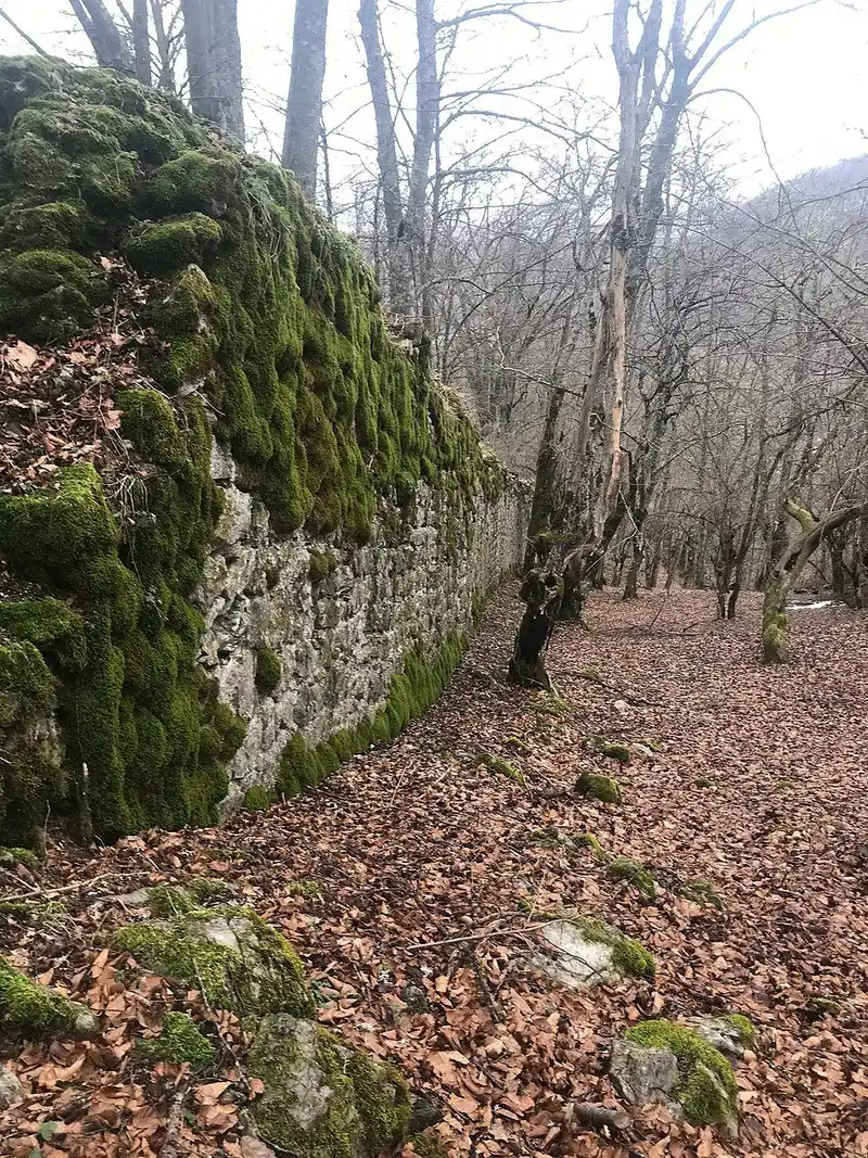
The fortress stood at 1,048 metres and consisted of a lower and an upper town. One courtyard wall still rises 8 metres high today. Finds of brick and prehistoric clay vessels on the site suggest that it was in use even before the Middle Ages. Local tradition attributes the fortress to the cursed Jerina.
Tips for your visit
The spring lies a few kilometres from the centre of Pale in Gornje Pale, in a wooded excursion area. A visit is especially rewarding in spring and autumn, when more water flows and the cascades tumble over the tufa blocks. Even in the Middle Ages the Gradina could only be approached from the south; remains of this path can still be made out, but they fade into dense undergrowth.