Location and peaks
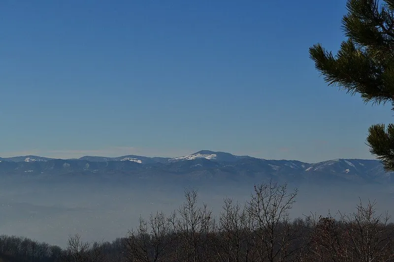
Očauš runs in the Dinaric direction, from north-west to south-east, between the catchments of the Vrbanja and the Ukrina. To the north lies Borja, separated from it by the Mihajlovac stream and, further down, the Velika Usora. To the east are Brić and Vučja planina, divided from Očauš by the Očaušnica, Crkvena and Studena streams. To the south come the low foothills of Vlašić, beyond the upper course of the Vrbanja.
The highest summit is Mihailovac at 1,402 metres, followed by Biser glavica at 1,383 metres. Other prominent heights include Javor brdo (1,313 m), Ravno brdo (1,280 m), Straža (1,258 m), Ostjenjak (1,244 m), Police (1,240 m) and Tavani (1,134 m).
Očauško Lice
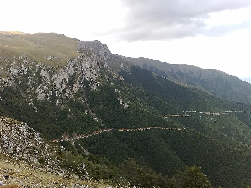
Očauš is distinctive and easy to recognise by its unforested eastern side, Očauško Lice, literally the face of Očauš. Together with Biser glavica above it, it is easy to pick out from Tešanj, Teslić, Usora, Stanari and Prnjavor. In 2015 members of the mountaineering club “Adrenalin” from Teslić marked the survey stone on the summit of Biser glavica and set up a summit box with a logbook and a stamp nearby.
Forest, pasture and water
Očauš is rich in forest and pasture. Scattered villages and hamlets lie on its slopes, among them Gornji and Donji Očauš, Tavani, Lepenica and Mosor. Water is plentiful, in springs, streams and small rivers such as the Očaušnica, Pecana, Vukulja and Bukaljka. The Usora also rises below the peak of Očauš.
Caves and shafts
Očauš has at least two notable cave sites. Očauška Cave lies on the north-western slopes near the northern edge of Očauško Lice, with its entrance at 973 metres. It has been surveyed by specialists several times since 1971, and at least 512 metres of passages have been mapped. It is known for helictites, a rare type of cave formation.
Bezdan is an almost vertical shaft with its entrance at 1,250 metres above the hamlet of Vrela, 37 metres deep in total. The caving society Ponir from Banja Luka explored it in more detail in 2013.
Name and legend
According to legend, the name goes back to Čaguš, a messenger through whom the monasteries of Liplje and Stuplje kept in touch. When Turkish guards killed him one day, the phrase “O Čaguš” is said to have arisen, which eventually became Očauš.