Origins and purpose
The lake was created in 1989 to put the water supply of Posušje and the surrounding settlements on a secure footing. The planning documents also provide for using the stored water for irrigation, energy production and protection against flood waves.
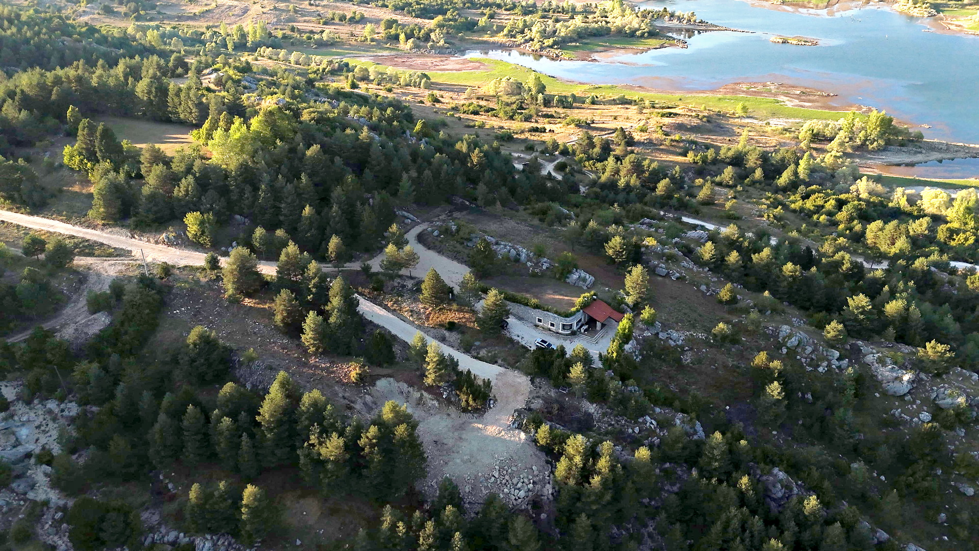
The dammed stream is the Ružički potok, which belongs to the catchment of the Ričina, itself part of the Trebižat river basin. A fill dam with a construction height of 21 metres was built for this purpose. A second barrier embankment, 13 metres high, sits on the divide between the Močila and Ružički streams and separates the lake from a lateral depression.
Dam and water levels
The main dam is built of rock fill and sealed on the water side with a reinforced concrete screen. Its crest lies at 915.50 metres above sea level and is 234.10 metres long; on the left side a spillway and a chute carry off excess water. The barrier embankment on the left bank, also of rock fill but with a clay core, extends for 548.50 metres.
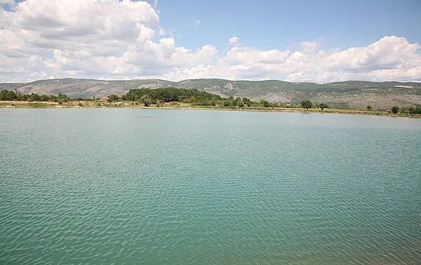
At the normal water level of 913.50 metres the lake covers about 700,000 square metres and holds around 5 million cubic metres of water, of which 4.5 million are usable; the remainder is set aside for sediment. The water level varies between 906 metres and the normal level, rising slightly above it when water spills over the spillway. The highest level so far was measured in 2005 at 913.99 metres. The lake has never been completely emptied, and in winter it regularly overflows.
Karst landscape and climate
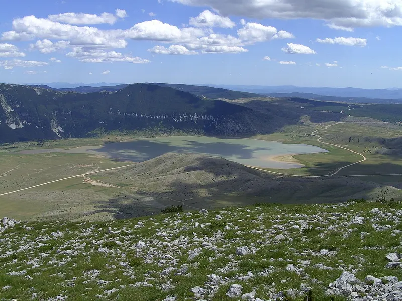
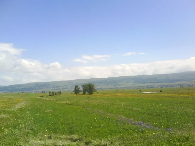
The municipality of Posušje is hilly to mountainous and takes in four karst plateaus arranged like terraces: Posuško and Virsko polje, the Tribistovo plateau, Rakitno and finally the uplands around Lake Blidinje. The bedrock is dominated by stratified limestone and dolomite; the area belongs to the Outer Dinarides, the zone of high karst. Surface water is scarce and mostly flows only intermittently, while most of the runoff drains underground.
In terms of climate, the area lies on the border between Mediterranean and temperate continental influences, and in the uplands of Blidinje Nature Park a mountain climate already makes itself felt. Summers are long, warm and dry, winters short and mild but wet; most precipitation falls as rain, sometimes as snow. Temperatures range from about minus 15 to plus 35 degrees, and annual precipitation is around 1500 millimetres, though very unevenly distributed.
Location and visiting
The lake lies by the village of Tribistovo, which had 178 inhabitants at the 2013 census, on the road from Posušje to Rakitno, which continues to the ski area and the lake at Blidinje. With support from the European Union, the project “Development of tourism on three lakes” was set up to promote Lake Tribistovo together with the lakes of Jablanica and Rama. It recorded 132 tourism resources, from producers of traditional food to cultural and sacred monuments and outdoor activities, and info points were set up at the lakes.
Visitors should bear in mind that the lake’s main job is to store drinking water for Posušje, and treat the water with corresponding care when on the shore.