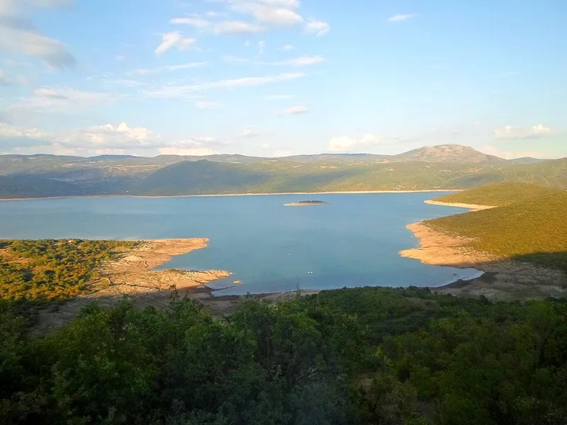
A reservoir on the Trebišnjica
The Grančarevo dam stands about 17 kilometres upstream of Trebinje. It is a double-curvature arch-gravity dam, 123 metres high with a crest 439 metres long. The dam and the Trebinje I power station were completed in 1968; since then the lake has evened out the flow of the Trebišnjica over the year and serves as the main reservoir of the hydropower system on the river.
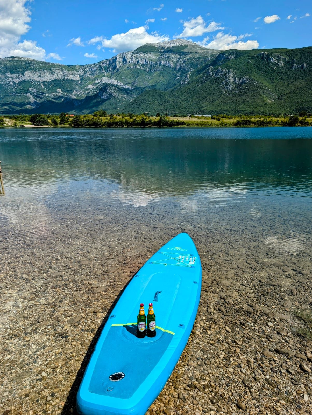
The long, branching lake is about 18 kilometres long and 3 to 4 kilometres wide in places. It lies at around 400 metres above sea level and is up to 104 metres deep. Its surface area varies with the water level; depending on the source, it is given as roughly 27 to 33 square kilometres. Some 4 square kilometres belong to Montenegro, and the state border runs through the lake for about 11.5 kilometres. The limestone karst of eastern Herzegovina shapes the surrounding landscape.
The sunken valley
As the water rose, the houses and farms of the villages of Panik, Orah, Čepelica, Zadublje and Miruše were submerged, together with fields, orchards, vineyards, roads and mills. Most residents moved to Bileća and Trebinje. When the water is low, remains of the old villages reappear: in the drought of 2017 the remains of houses, cisterns and fences were exposed at Čepelica.
Before the valley was flooded it was studied by archaeologists. Panik, site of ancient Leusinium, was especially important; from 1957 Roman buildings with mosaics and frescoes were uncovered there. Some of the finds were taken before the flooding to the National Museum in Sarajevo and to the museums in Trebinje and Bileća.
Monuments that were saved
The rescue work included an artificial necropolis near Bileća in 1967: stećci, medieval tombstones, from the source of the Trebišnjica, from Miruše-Kolanjevići and from Panik were brought here. Today it lies on the shore of the lake.
Two monasteries were moved as well. Dobrićevo monastery originally stood right by the Trebišnjica; according to its seal it was built in 1232 on the foundations of an early Christian basilica, and it burned down three times in the course of its history. In 1967 it was moved to the village of Orah, 12 kilometres south of Bileća on the left of the road to Trebinje, and it is a national monument of Bosnia and Herzegovina. Kosijerevo monastery now stands in the village of Petrovići in Banjani. Above the lake rises Drakuljica fortress, one of eight fortifications Austria-Hungary built on the hills around Bileća; its top looks out over the lake.
Swimming, fishing and cycling
In summer people swim mainly along the shore at Čepelica and in smaller coves. Čepelica is about five kilometres from town, and its floating rafts for sunbathing and diving are especially popular with young people.
Fishing takes place at several spots, such as Panik, Orah, Miruše, Vidikovac and Čepelica. Native species such as brown trout live in the lake, as well as introduced species such as catfish, carp and rainbow trout. In summer the Somovijada is held, a traditional catfish fishing contest; catches of up to 100 kilograms have been reported. Small boats make trips across the lake, among other places to a small island with the church of St Elijah. Cyclists can ride around the lake.