History
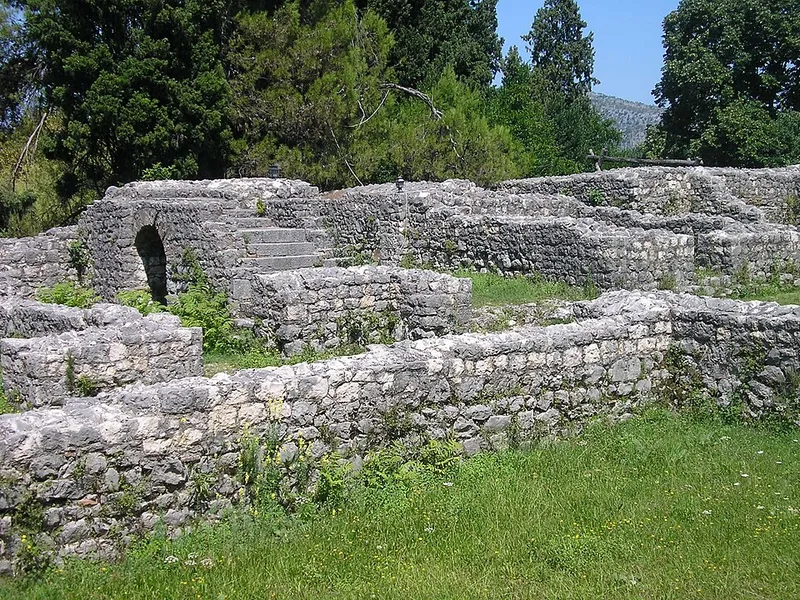
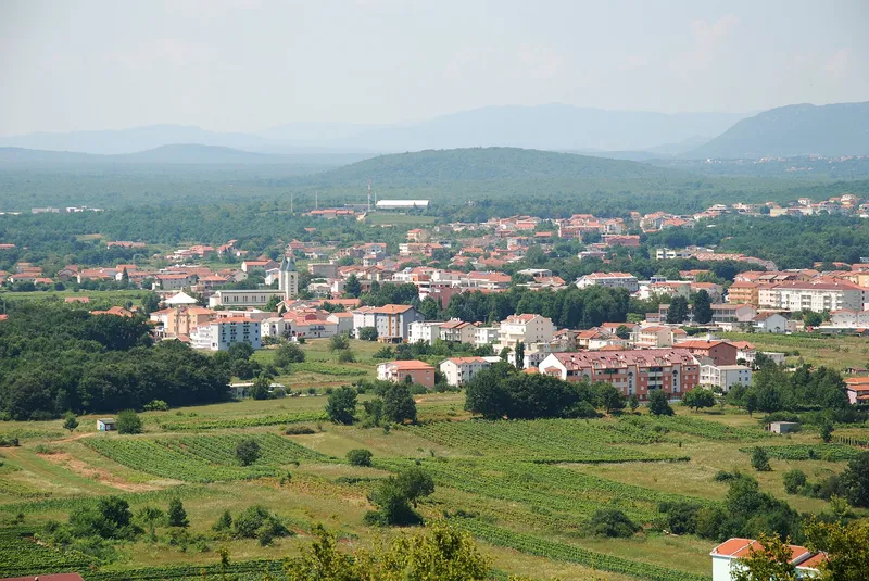
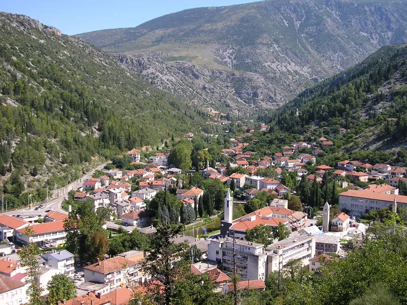
People have lived around Stolac since prehistoric times, and Illyrians, Romans and Slavs left rich traces. The ancient municipium of Diluntum stood where the town is today. The name Stolac is reliably recorded in 1420 and Vidoški fortress in 1444; until 1454 it belonged to Stjepan Vukčić Kosača.
Ottoman rule began in 1465, and in the early 16th century the place started to grow into a kasaba, a small town. After the Treaty of Karlowitz in 1699 the fortress was rebuilt, and around 1706 the Stolac captaincy was founded. Austria-Hungary took over the administration in 1878.
In summer 1993 the Čaršija Mosque and the entire čaršija were destroyed, as were other mosques that year. The Čaršija Mosque was rebuilt between 2001 and 2004. Since 2007 the natural and architectural ensemble of Stolac has been on UNESCO's Tentative List.
Vidoški fortress
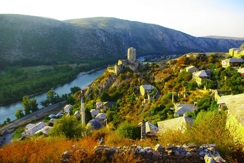
Vidoški fortress, also called Križevac, sits on a cone-shaped limestone hill on the left bank of the Bregava above the centre. From the top the view takes in the town, the fertile Vidovo polje, the river and the hills around: Hrgud to the north, Komanje brdo to the east, Ošanići to the west and Bašnik to the south.
The complex covers 20,503 square metres, enclosed by towers and walls of dressed limestone about 2 m thick; in the 17th century there were 13 towers. Inside are 10 cisterns, a flour store and living quarters. Austria-Hungary thoroughly repaired the fortress in 1883 and added a modern fort above it in 1888. Since 2003 the historic area of the fortress has been a National Monument of Bosnia and Herzegovina.
The Bregava, bridges and mosques
The Bregava, with its bridges, mills and fulling mills, is the backbone of the town plan. The Inat ćuprija probably dates from the Middle Ages, judging by its construction, and the Podgradska ćuprija from the early 18th century. The Sara Kašiković bridge of 1896 was privately owned and could be closed with gates. In 1664 Evliya Çelebi counted ten watermills at Dol on the Bregava; in the 18th century Memibegović mentions 180 waterwheels.
In the centre stands the Čaršija Mosque of 1519 with its courtyard, fountain and graveyard. Ismail-kapetan Šarić built the Uzinovićka Mosque in 1741; his stone house of 1734, with an oriel and barred windows, also belongs to the old townscape.
The Begovina
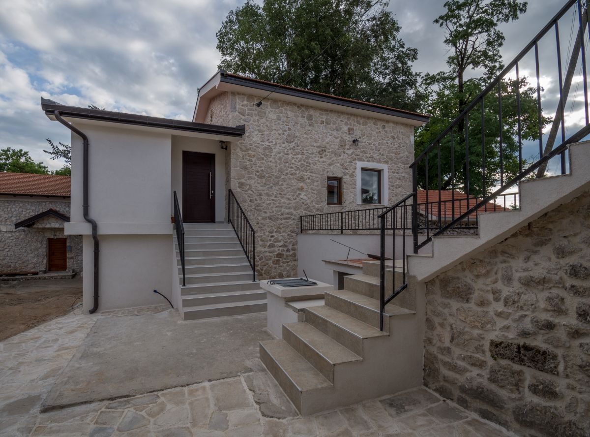
After the offices of dizdar and kapetan were abolished in 1835, the four Rizvanbegović brothers left the fortress. Their residences at the northeastern end of town make up the Begovina. On a strip about 25 m wide and 180 m long stand guest houses (konak), dwellings and several farm buildings. A high stone wall encloses the residential courtyards on three sides; to the west the Bregava forms the boundary.
The top row of stones on the wall was merely laid on, so climbers found no grip and gave themselves away with falling stones. Bregava water was channelled through the courtyards into pools and fishponds. Across the river, on the right bank, the Đulhanumina house was built in 1835, with three storeys, rare in Ottoman homes; in July 1993 it was set on fire and destroyed.
Trips into the surroundings
About 6 km west as the crow flies, below the village of Borojevići, lies the Palaeolithic site of Badanj, a rock overhang 45 m above the Bregava. Discovered in 1976, it is dated to the late Upper Palaeolithic; a rock engraving probably shows a horse struck by arrows.
At Ošanići are the remains of Daorson, main town of the Hellenised Illyrian Daorsi, with an acropolis behind walls of huge stone blocks. Its megalithic wall is dated to the 4th century BCE.
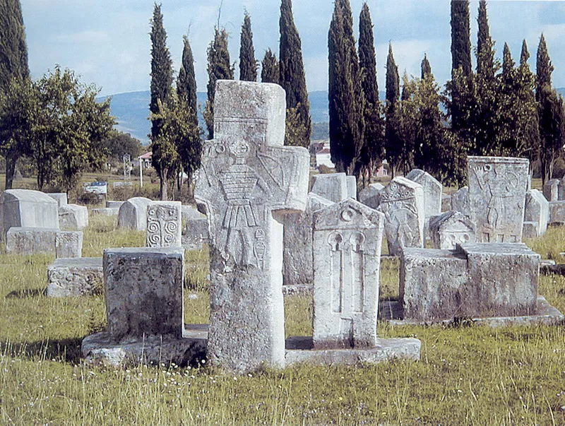
The Radimlja stećci necropolis lies 3 km west of town, and the Boljuni necropolis, with two groups of tombstones, further southwest. At Krajšina, 2 km from the centre, the grave of the Sarajevo rabbi Moše Danon is a pilgrimage site for the Jews of Bosnia and Herzegovina; he set out on foot for Palestine in 1830 and died on the way near Stolac.